Click on a thumbnail to see a larger image
of the map (images are degraded for the web).
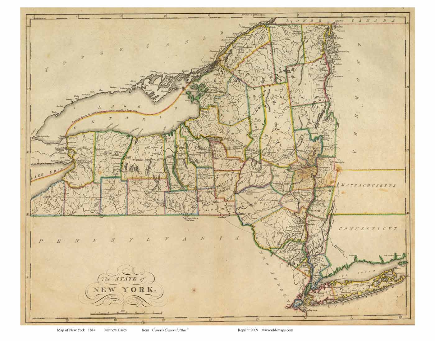
1814 Carey
orig. 16 x 20 Larger towns. County
outlines in color. Major roads
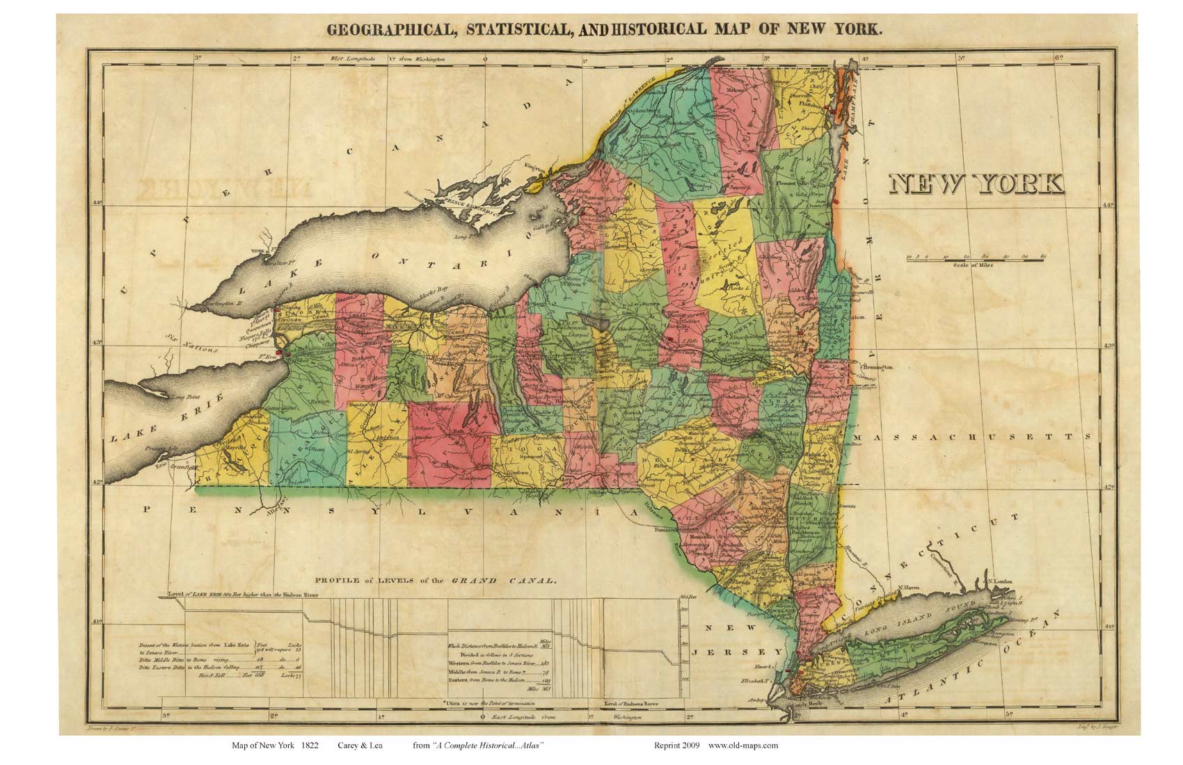
1822 Carey Atlas Map
orig. 14 x 19 Larger towns. County
outlines in color. Major roads
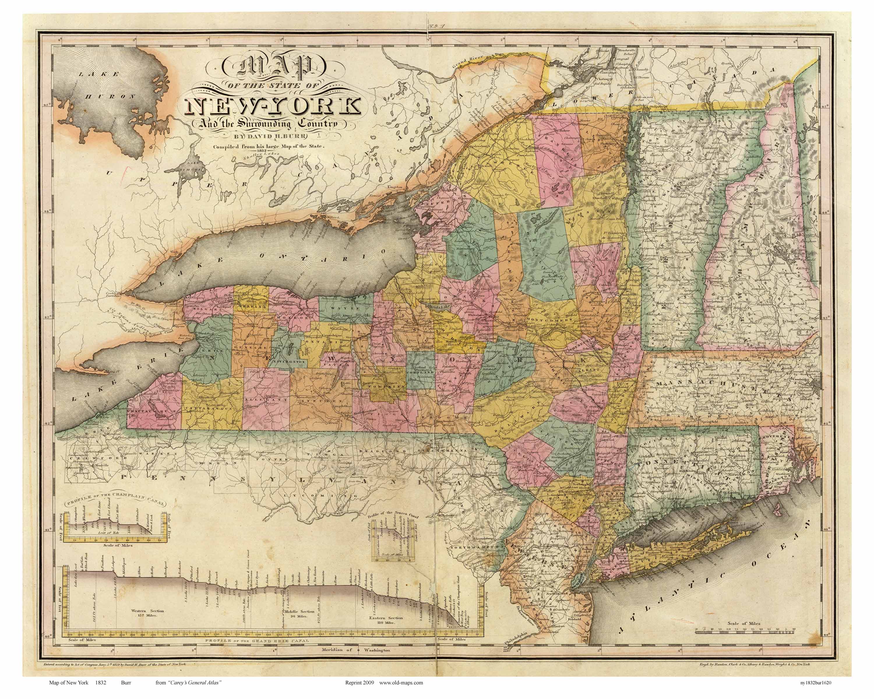
1832 Burr
orig. 20 x 26 County outlines. Many
roads, canals, early railroads. Also Vermont, NH, CT and Mass(west)
Profile of the "Grand Erie Canal" etc.
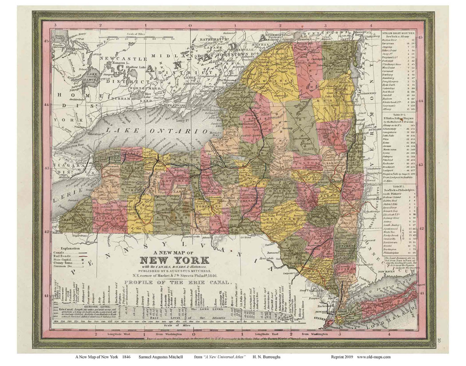
1846 Mitchell
orig. 16 x 20 County outlines. Many
roads, canals, railroads. Charts of "Steamboat Routes"
Profile of the Erie Canal.
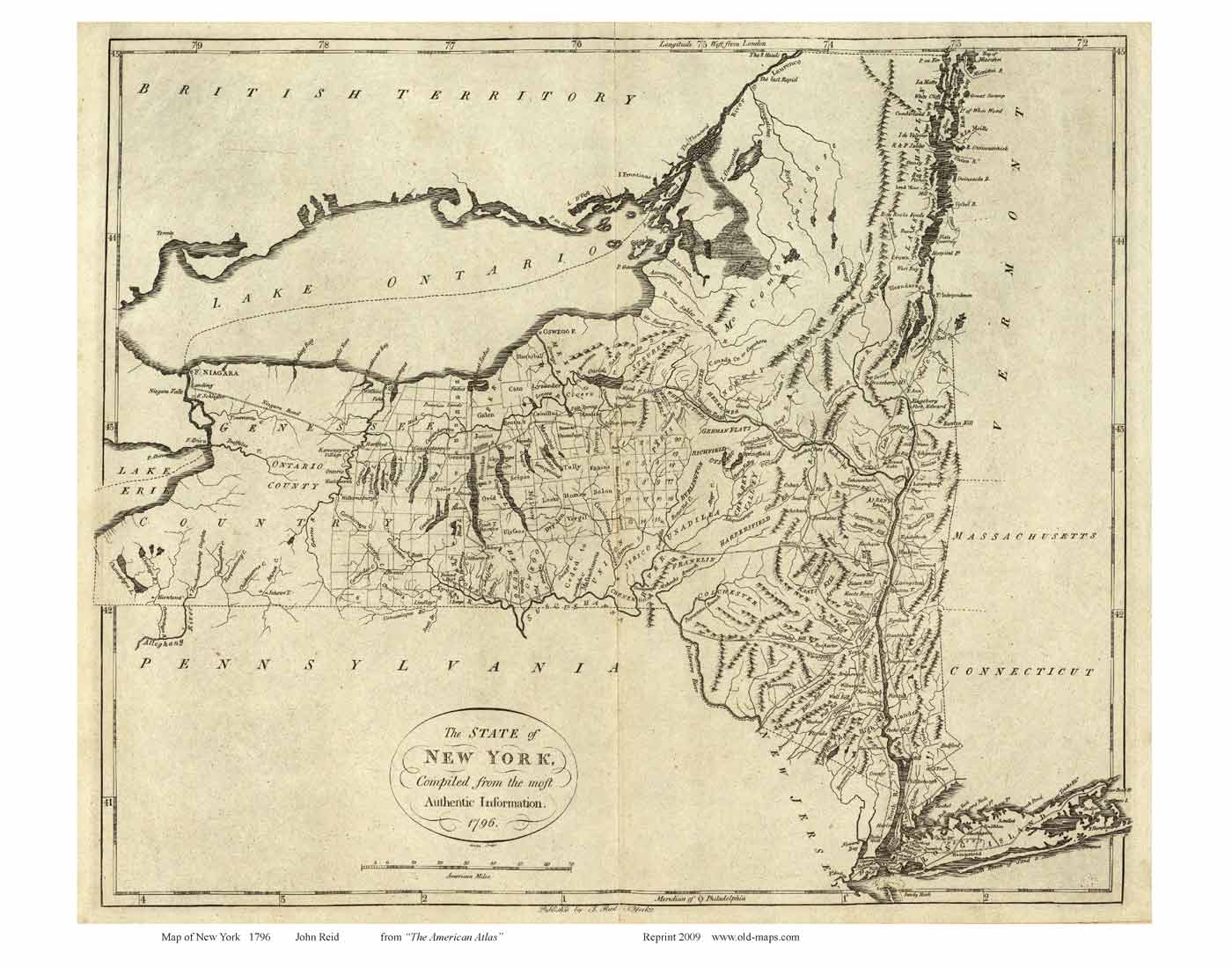
1796
Reid orig. 13 x 16
Very early map. Town names. Major roads.
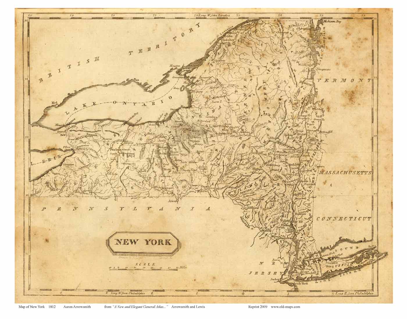
1812 Arrowsmith
orig. 8 x 10 Towns, counties.
1849 Ensigns & Thayer
orig. 22 x 30 County boundaries, Town names, picture of
Niagara Falls