Historical Nautical
Charts
Pacific Coastline of the United States
Sailing
Charts - 1:1,200,000 Scale
Old Maps Home
Pacific Coast Home |
| |
This collection of charts covers the
Pacific coastline from the Mexican border to the Canadian Border.
The charts are very large, the three of them cover that entire
coastline, and they date mostly from the mid 1800s.
See also the
Big Area post 1917 and 200,000 Scale ca.1890 collections.
This collection will soon be available! |
| |
 |

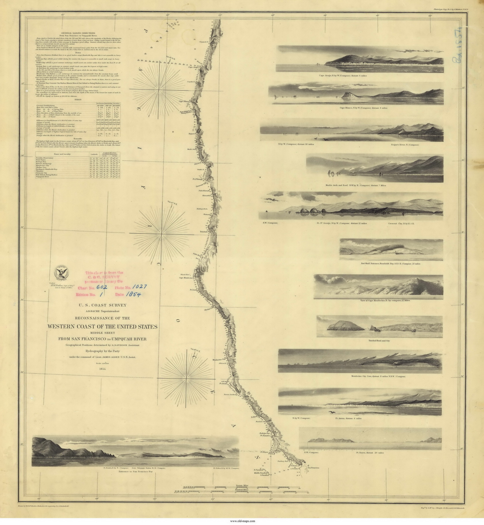
San Francisco to Umpqua River - 1854 |
|
Index Map - click to enlarge |
Example map from this series
-click on the image above to
view a larger copy- |
|
|
|
These Nautical charts are extremely detailed, showing not only ports
and harbors but lighthouses, bouys and depth soundings as well as
islands, shoals, and other dangers to mariners. The image to
the right is a high-res clip from the 1854 chart displayed above it,
click to enlarge. |
 |
|
|