RI: State Maps Birds Eye Views
Counties:Newport Providence
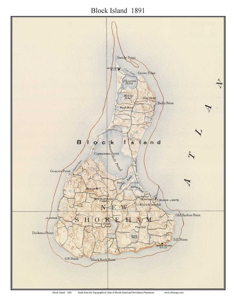
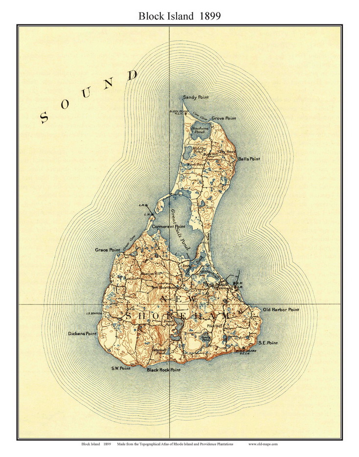
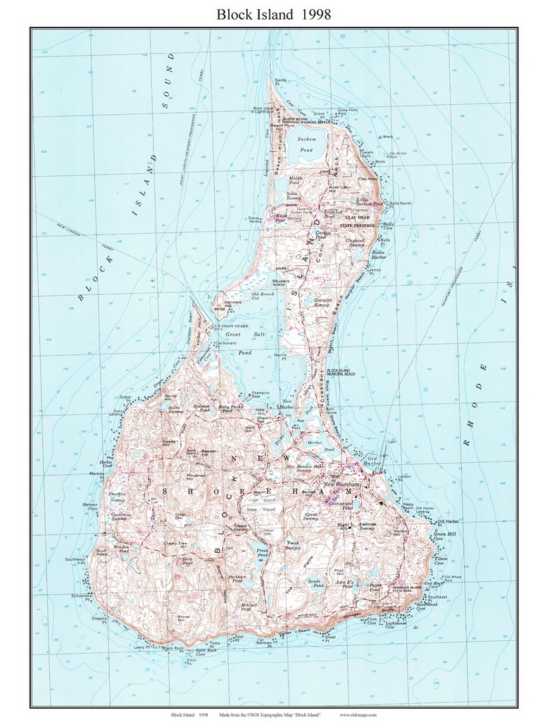
Maps of Rhode IslandOld USGS TopographicMaps of Block Island Home RI USGS Quads Block Island Maps Block Island Nautical
The first 4 maps listed here have large, clear lettering and work well at the smaller sizes.The last two look best at the larger sizes.
Revised: 12/27/17 Copyright © 2005 [Old Maps]. All rights reserved.