RI: State Maps Birds Eye Views
Counties:Newport Providence
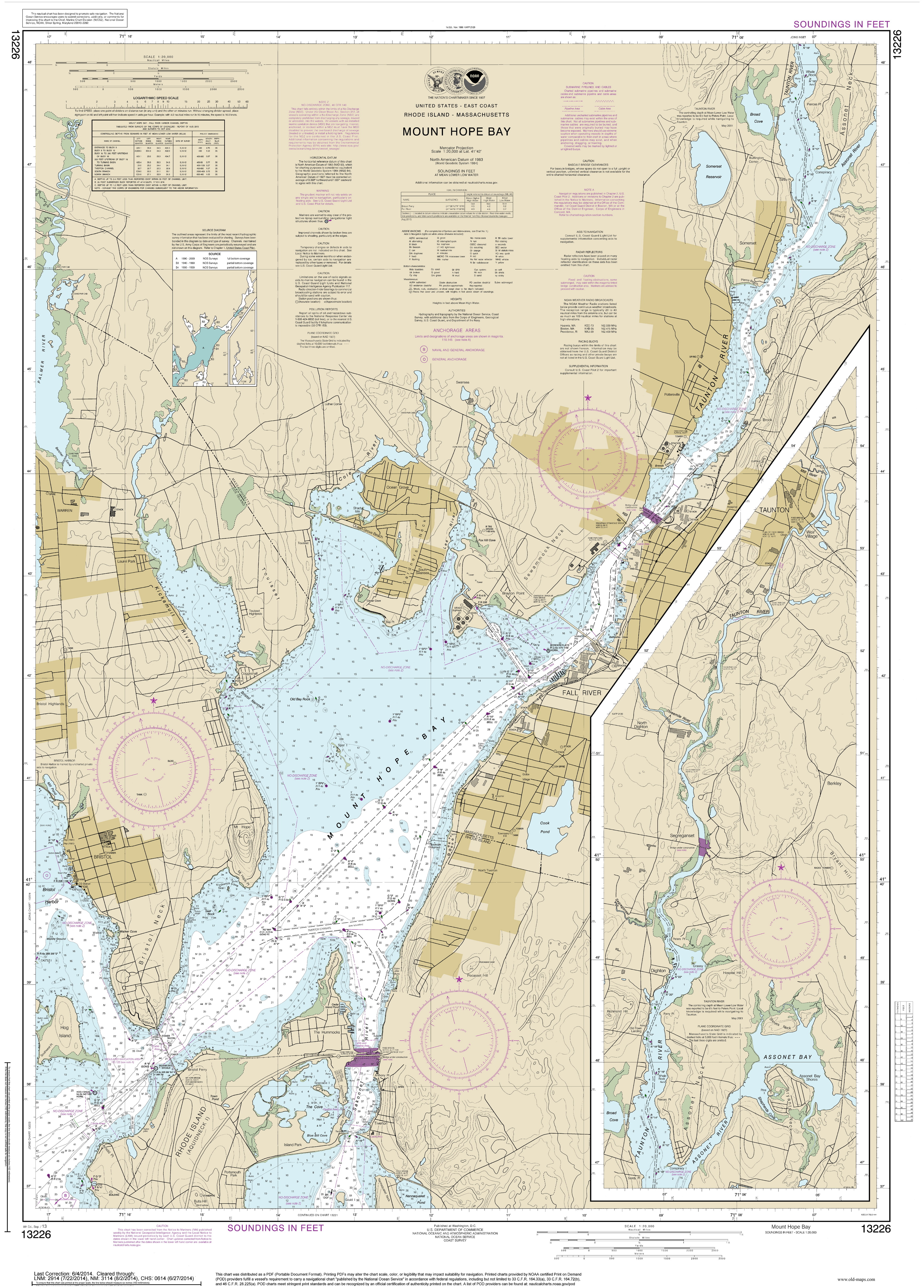
Modern Nautical Charts of Rhode IslandHarbor Charts of Rhode Island - 2013 Block Island to New Bedford Home Harbor Charts Historical RI Charts Narragansett Bay
Revised: 11/15/17 Copyright © 2005 [Old Maps]. All rights reserved.