Newly added map of New Haven, CT from 1806
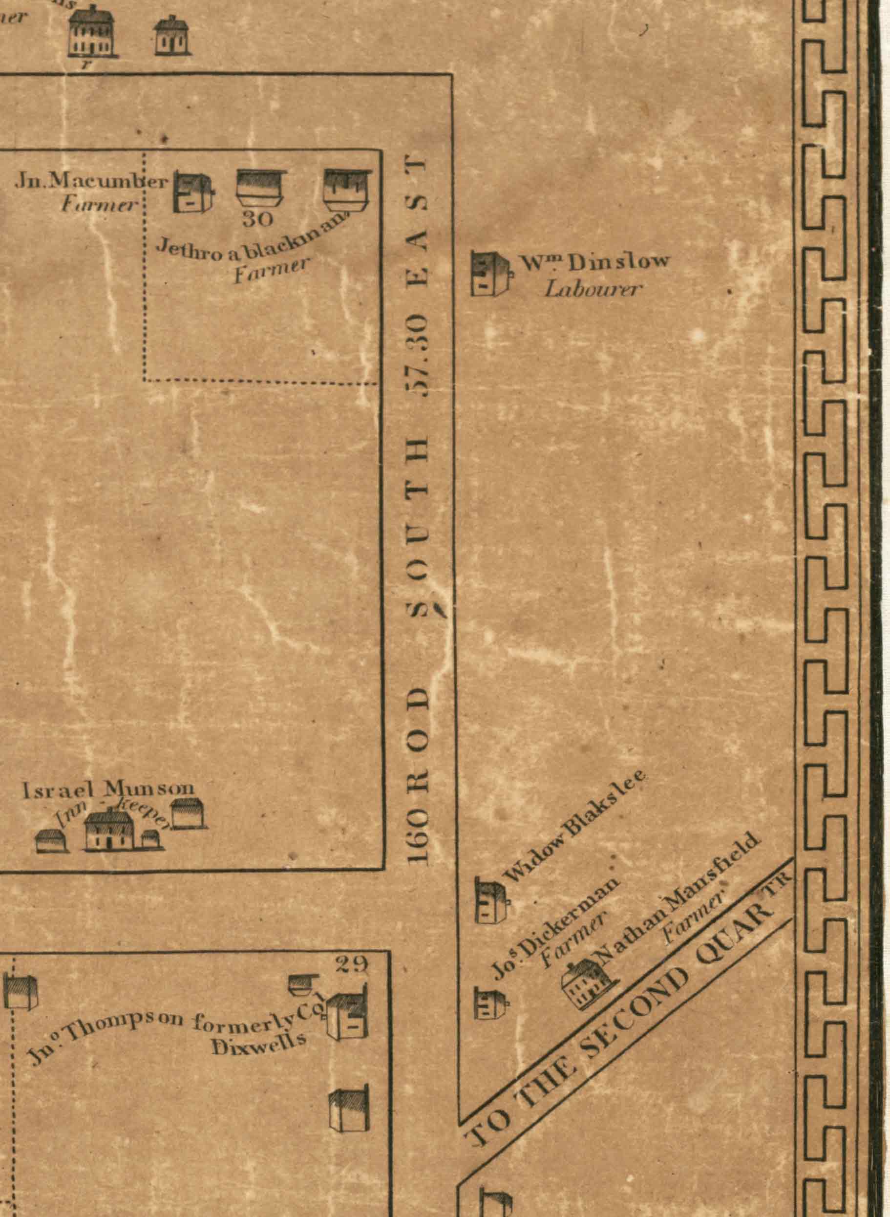
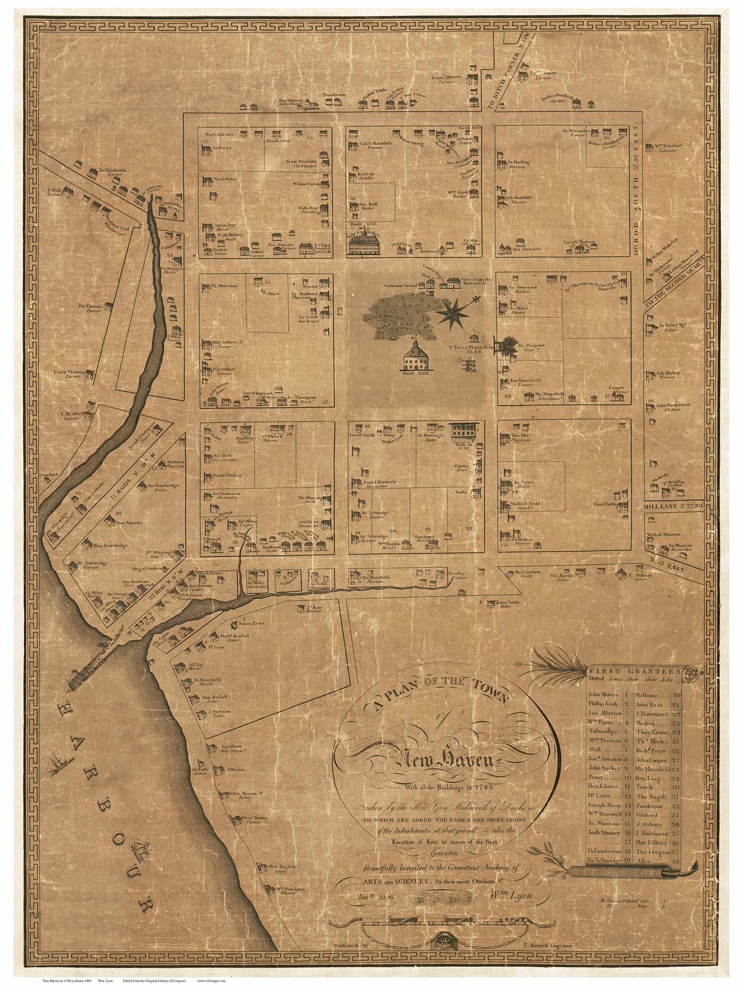 An 1806 Map of “The Town of New Haven” has been added to our Connecticut collection from the Library of Congress. The map, though printed in 1806, reports “all the buildings in 1748”, along with the names and professions of the inhabitants at that time. We see a picture of each building, a very nice feature, and the origin year of many sites.

“2 trees planted in 1686” are shown on the 1806 New Haven Connecticut map.

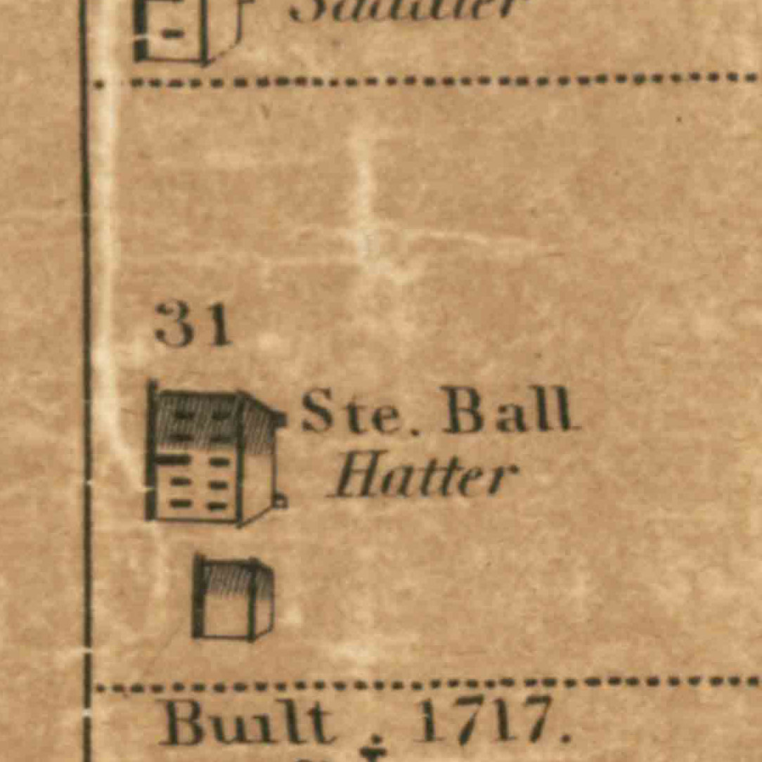
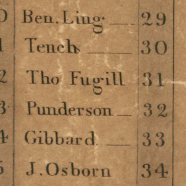
The list of First Grantees shows the names of the landowners, whose lots are numbered on the map. Here you can see that the house of Ste. Ball is built on the land of Thomas Fugill.
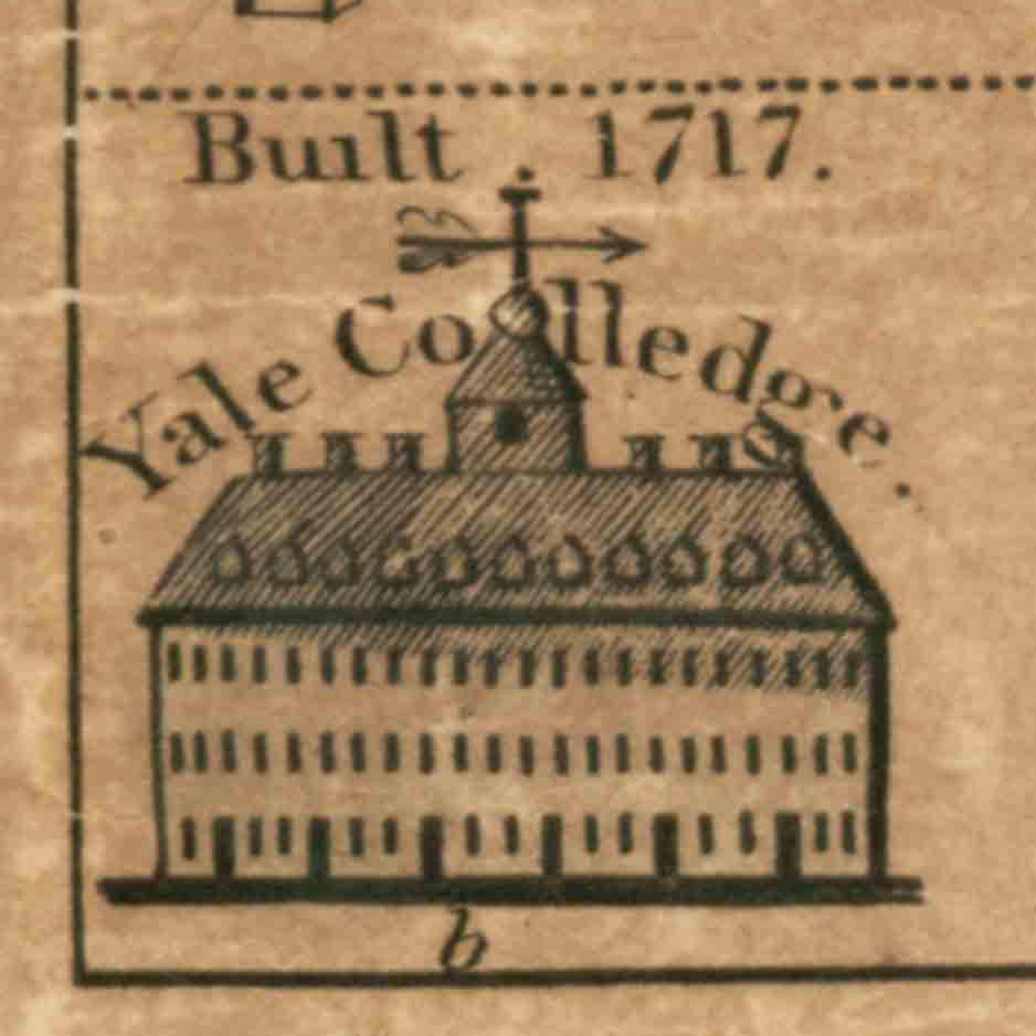
Modern spelling rules were not set- see “Yale Colledge”.
You can see the boats going in and out of the busy harbor.

This map is a treasure trove of New Haven’s history.
Our reprints are available at original size ( 21” x 28”) and larger. Check out our other New Haven maps at shop.old-maps.com.