
Oldest USGS Maps of New York State – Easy Access to 283 Topographical Quads
Each of the original New York USGS Maps ( “Quads”) is now available for easy viewing on our store. These are the first detailed maps published by the US Geological Service beginning in the late 1800s. USGS maps were the very best road maps when first made. You can get these maps from the USGS website (that’s where we got our copies..) but you can find and view “your” map quicker here.
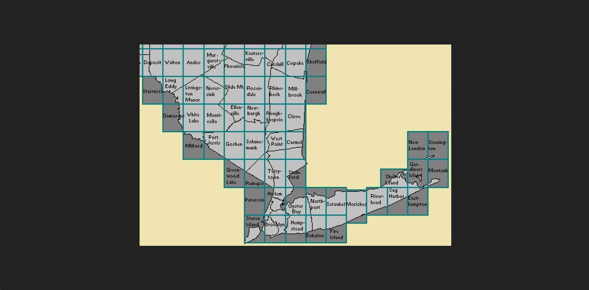
There are 283 NY state USGS 15′ maps. Each covers an area of about 12 x 17 miles, and is shown on our four index maps, seen below at the top of the web page.

Below is a the NYC – Long Island index map. Let’s say your area might be on the Hempstead map. (Long Island)
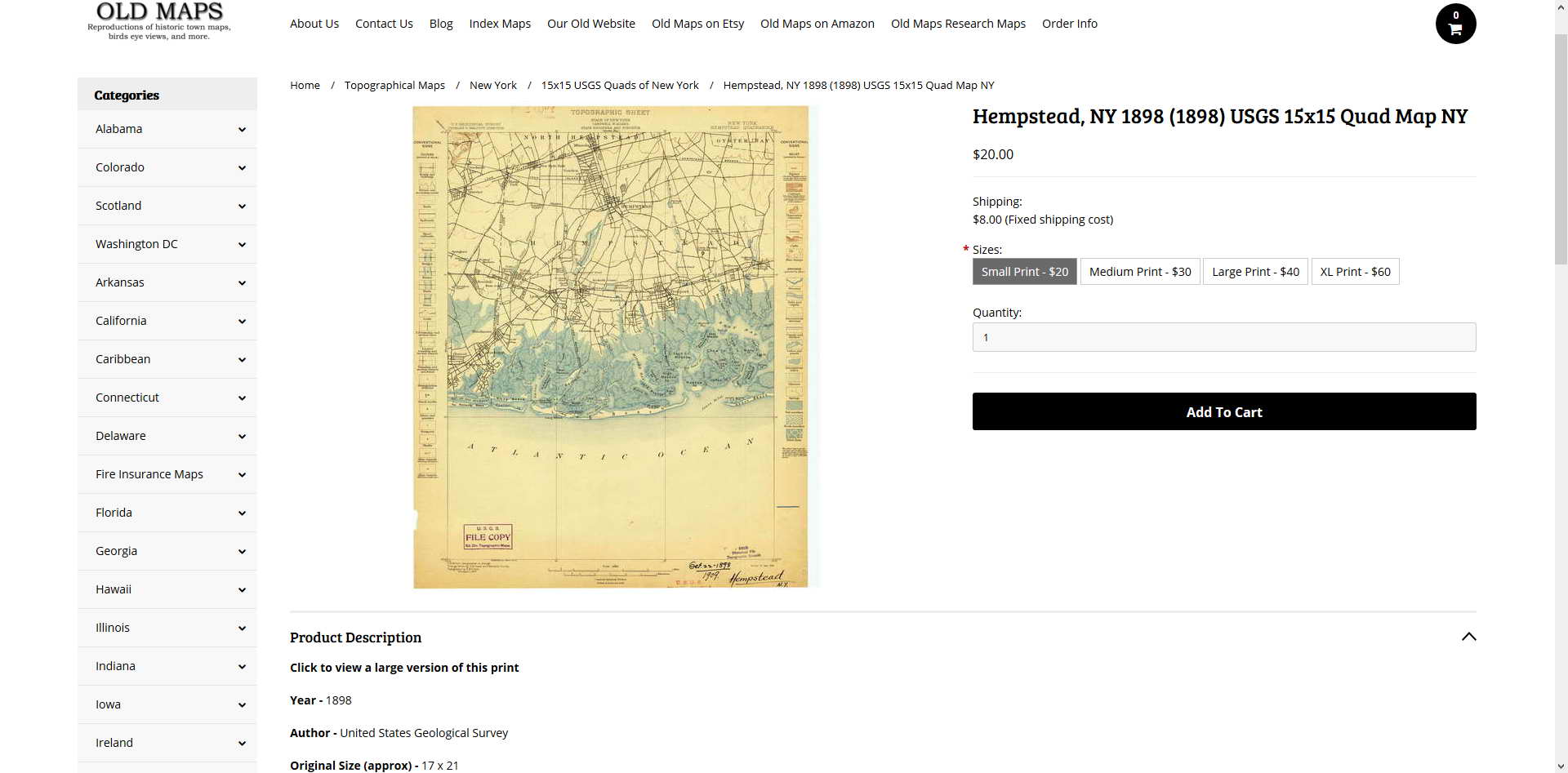
To see the Hempstead map, type the name in the search bar (upper left corner) to go directly to the quad’s page. (You can also browse through the 283 maps but that’s slower…)
![]()
The Hempstead 1898 map page shows up. Note the name 1898 (1898). This means its the original 1898 printing. You can click on the image of the quad to view a zoomable low-quality image of the quad, or you can purchase a high-quality print.


How can I find publication data for map runs made about 1900 to 1920, Need California, A-G. That’s my niche. Must be in books someplace?