
Seaside Park, New Jersey Map Just Added
 A circa 1880 Map of Seaside Park has been added to our collection of New Jersey city maps. The map shows the city as it was in 1880, along with some text advertising the city and an image of the hotel. We have restored this map by digitally removing some dark spots and stains in this map.
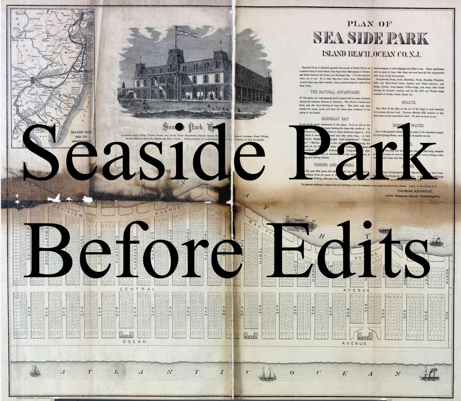
The Crabbing Ground is shown just off the shore of the city.

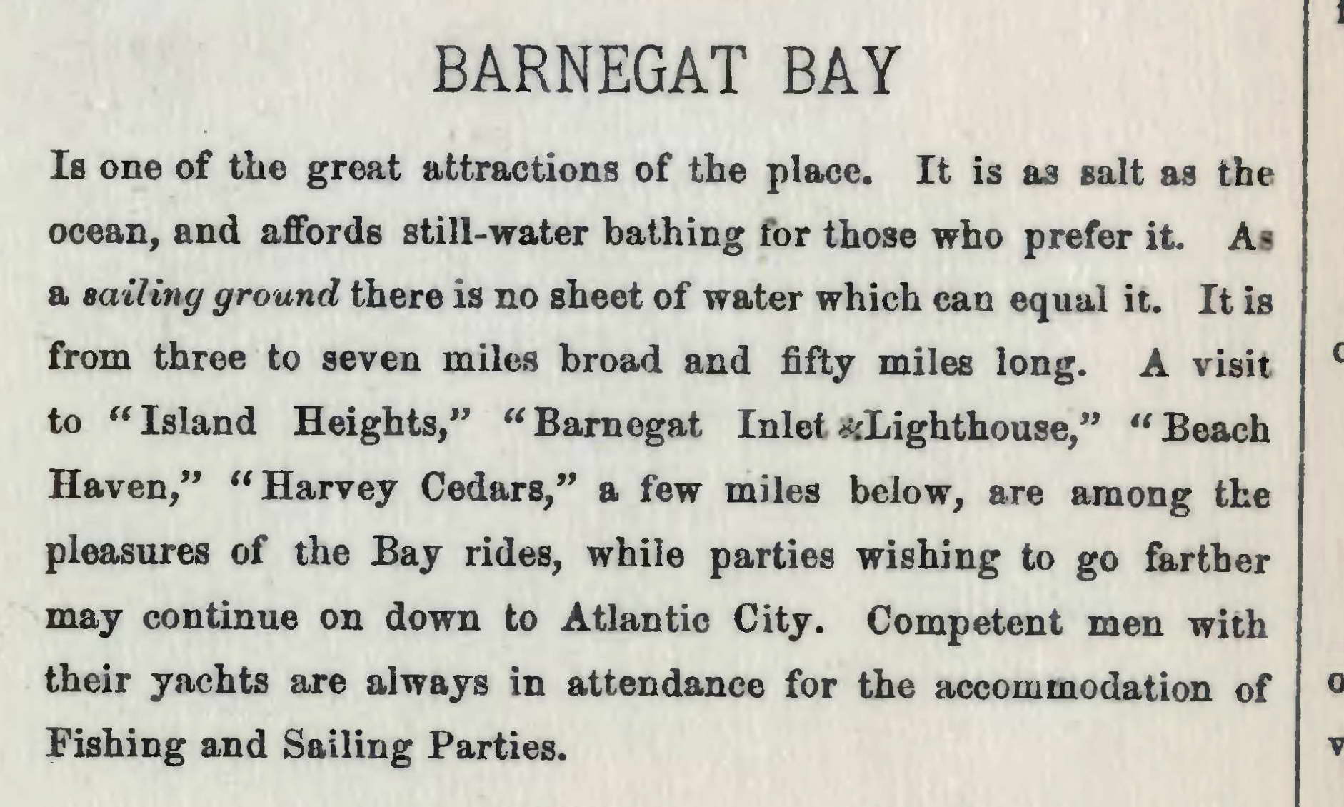
A description of Barnegat Bay is shown on the map.
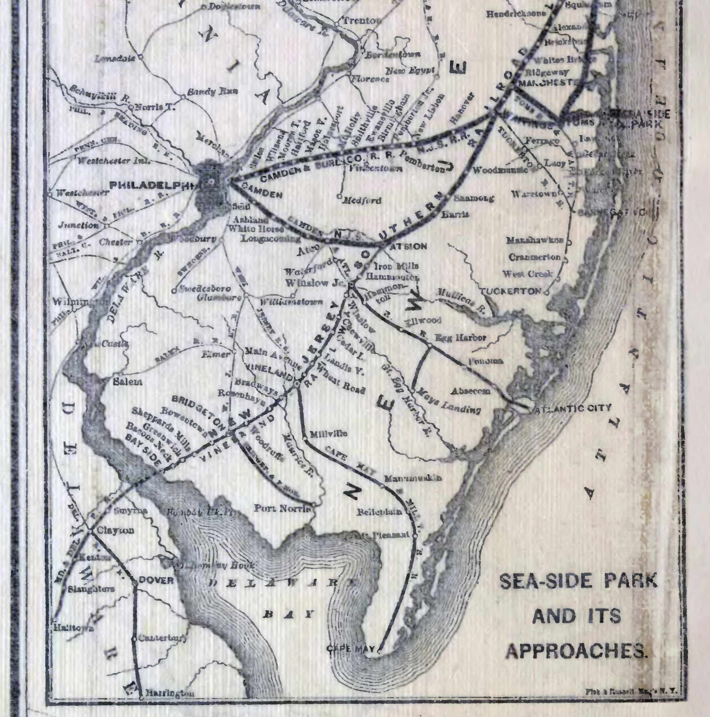
The small inset map “Sea-Side Park and its Approaches” shows travel routes to the city from New York City and Philadelphia.
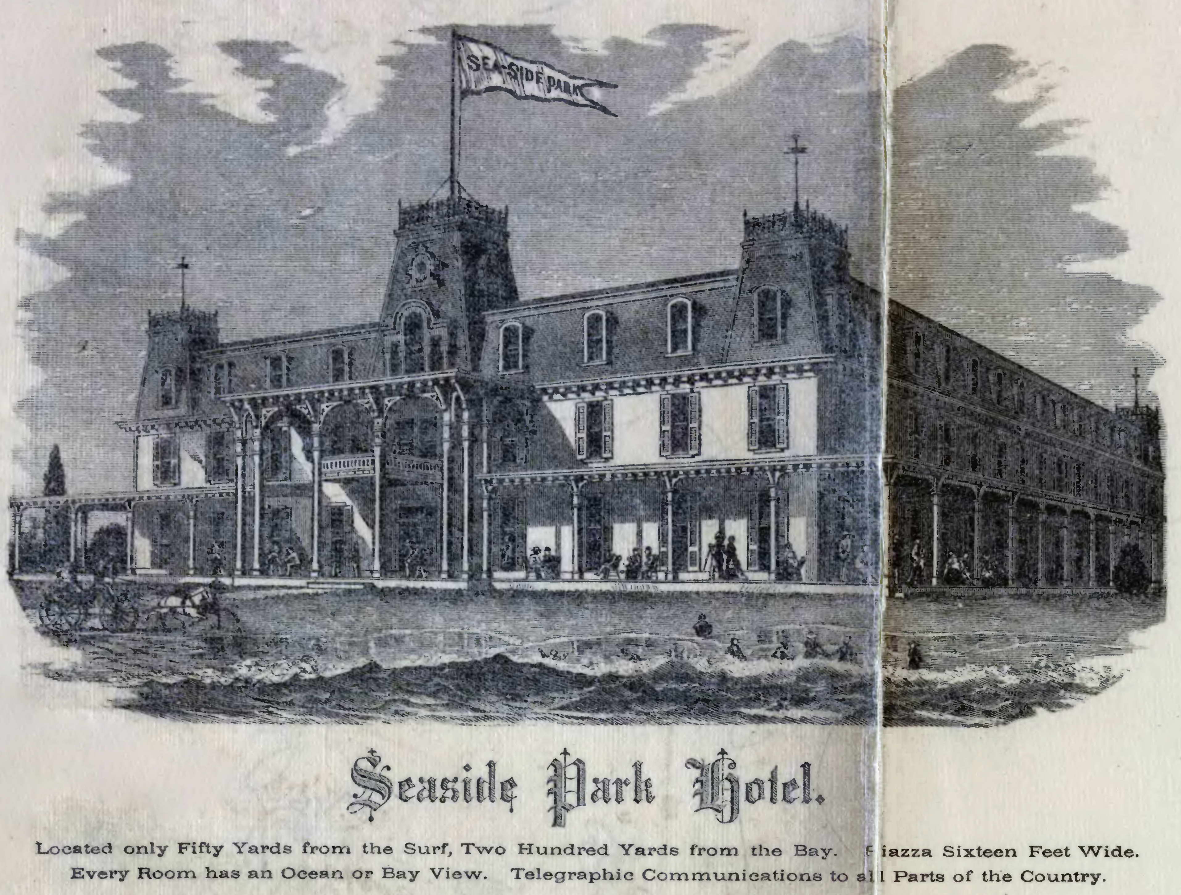
An image of the Seaside Park Hotel is shown, with text highlighting it’s distance from the water, an ocean or bay view from every room, and Telegraphic Communications to the entire country.
You can see the building lots and street names throughout the city.

Our reprints are available at multiple sizes. Check out this and our other New Jersey City Maps at shop.old-maps.com.