Whitelaw 1796 Map
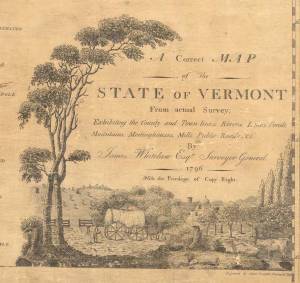
 A few short years after Vermont joined the United States James Whitelaw issued “A Correct Map of the State of Vermont”. This large wall map shows every town in the state as well as the main roads in most towns.
============================================================================
Whitelaw, a skilled surveyor from Ryegate, was Vermont’s Surveyor-General at the time. Prior to publishing this map he had conducted numerous surveys at the town and county level, as he noted in a statement engraved upon the map.
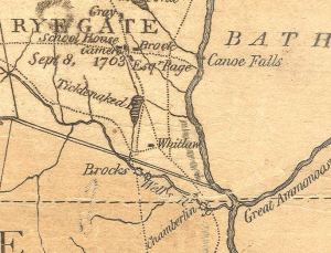
Here is an excerpt from the map – the Ryegate area. Note that surveyor Whitelaw’s house is marked on the map – one of few private houses shown. (“Whitlaw” short distance south of “Ticklenaked Pond”, which is still there – with the same name.

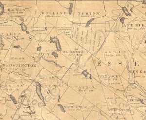
The next excerpt shows the Northeast Kingdom area – with several ancient town names. The town of “Navy” is now Charleston.


Nice map!