Who was Jacob Chace – mapmaker
Who was “J. Chace Jr.” ?
That name , spelled just that way, appears on numerous county land-ownership maps in New England and nearby states in the 1850s. I would love to learn more about this man, starting with his first name, for he cut quite a swath through the commercial map business in the county map era.

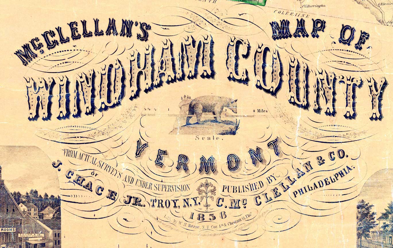
Examination of title blocks (aka cartouches) and other elements on several NE county maps tells us that Chace was a surveyor, but also a publisher of these important maps. He is associated with at least 18 maps (probably more) in the period 1854-1860. Chace first shows up (in my research) in 1854 as the surveyor for the Rutland County, VT map, published by James D. Scott, and printed at the shop of Robert Pearsall Smith in Philadelphia.
But he appears to be more of a manager than a surveyor, as he is involved in several maps at the same time. In three years, 1856-1858, Chace is listed as surveyor or publisher for 13 county maps. Six of those maps were issued in 1856, suggesting a very busy prior year(s) of activity.
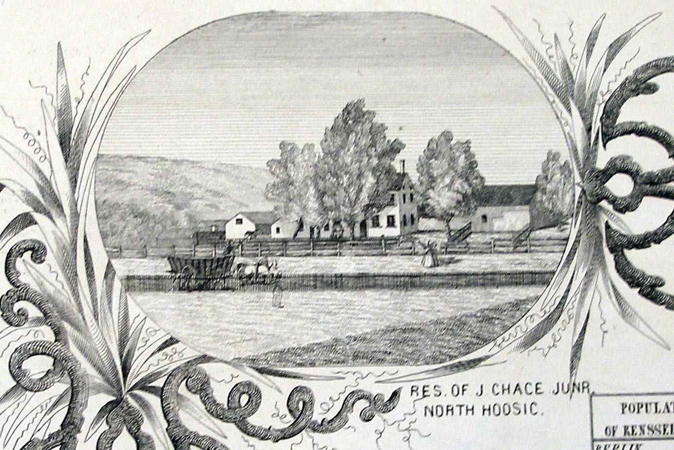
I have reason to suspect that the “J. Chace Jr.” of the county maps was Jacob Chace, born in North Hoosic, New York, a small village near Troy, in Rensselaer County. The “Res. of J.Chace Jr.” is one of the vignettes on the 1854 Rensselaer County map (not surveyed by Chace). The vignette is below:

I don’t have the 1856 map of that area, but here is a snip from the 1861 map, showing North Hoosic, and, on the north-south road, the site of the home of “J. & G. Chace”. This might be Jacob’s home, as he had a brother named George. Note that the Troy & Bennington Railroad passed nearby. What a difference this made for Jacob Chace! He could walk to the train depot, get to Troy in a few minutes, and from there travel easily to New York, Philadelphia and Boston.
On two county maps in 1856 Chace is listed as a Civil Engineer from Troy, NY.
We can follow Chace from Troy to Portland, Maine (see top of page) on the map cartouches. The State of Maine is where he made most of his county maps – six in all between 1856-1860.
In 1862 Chace publishes the Map of the State of Maine in partnership with H.F. Walling. In an article on a Cape Breton mapmaker who worked on that map, A.F. Church, Chace is identified as “Jacob Chace, map publisher of 55 Danforth Street”. That article is below:

There is more to do to prove that Jacob Chace is my man, and that he is from North Hoosic, but these facts are suggestive.
Chace in Maine:
in 1858 J. Chace Jr. is in Portland, “50 Pearl & 55 Exchange St., Portland” per the cartouche on the Sagadahoc County map.
D. Allen Feb 2011

