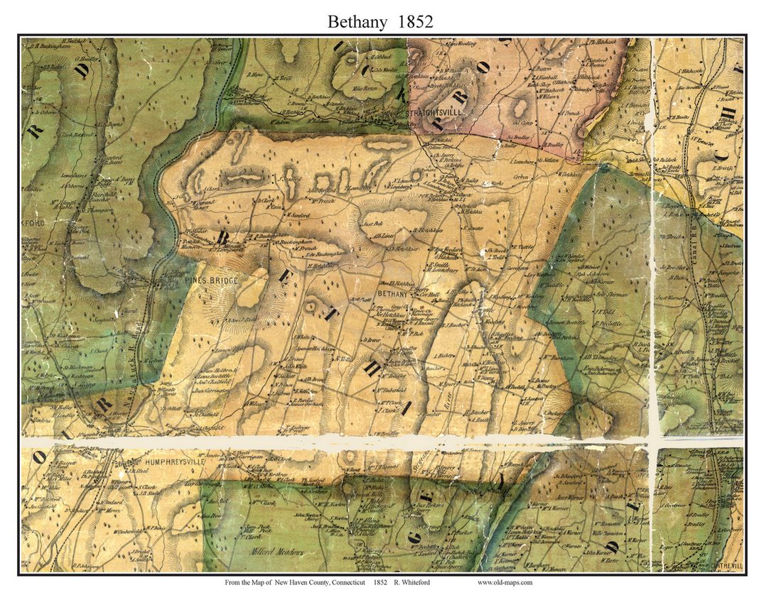
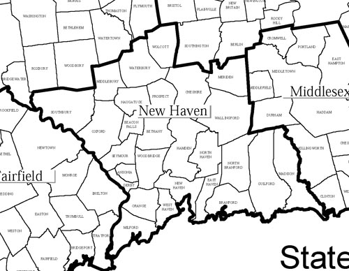
CT State


Old-Maps

Vermont
Massachusetts
New Hampshire
Maine
Connecticut
New York
Rhode Island
New England
Background
News Coverage
Contact Us
Order Form
FAQ

CT:
State Maps
Birds Eye Views
Counties:
Fairfield
Hartford
Litchfield
Middlesex
New Haven
New London
Tolland
Windham


New Haven County CT Maps

1852 Map of the County of New Haven, Connecticut by R. Whiteford.

We have just reissued the remarkable 1852 wall map in 3 different formats

1852 Wall Map Reprint 1852 Wall Map CDROM 1852 Individual Town Prints
     

1868 Atlas of New Haven Connecticut by F.W. Beers

1868 Individual Town Prints


1868 CDROM - Coming Soon


County Outline Map
Retail


Revised: 08/18/11
Copyright © 2005 [Old Maps]. All rights reserved.