|
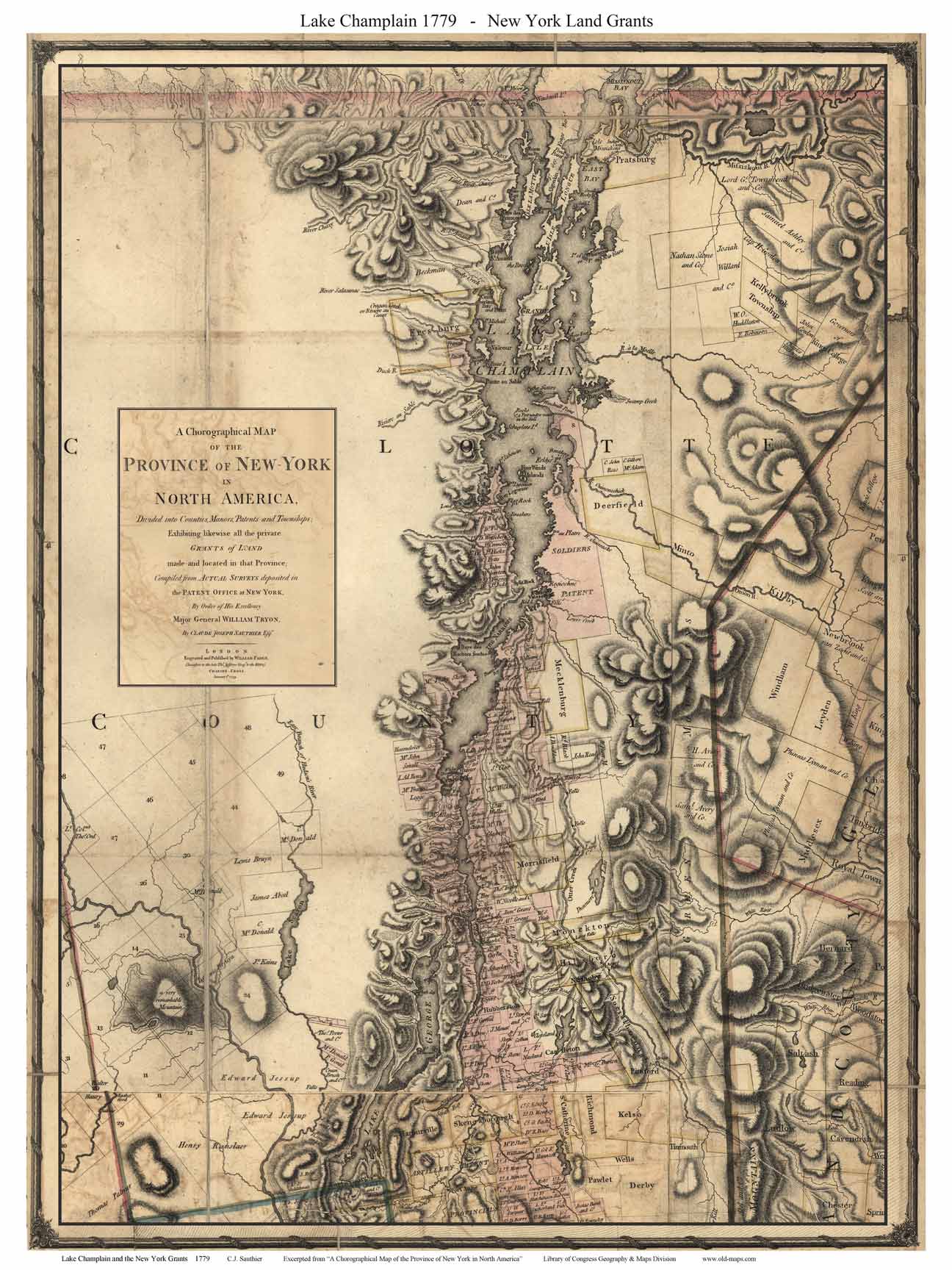
Lake Champlain
1779
Sauthier
Two views excerpted from
"A Chorographical Map of the Province of New York in
North America"
Back to more maps of Lake Champlain |
|
Click here to see purchase options! |
Click here to see purchase options! |
|
Lake Champlain & the New York Land Grants |
Lake Champlain from Crown Point to Canada |

1779 New York Land Grants
|

1779 Crown Point to Canada
|
|
These two custom maps were made from the 1779 Map of New
York by Sauthier. That map covers much of what is now
Vermont and New Hampshire. Click on either image above
for an enlarged view. |