All of Cape Cod on one large wall map. This is a composite map made from
12 original USGS topographical maps. (index to right)
Click on the map image or here to see
more.
Or, see a second version here.
Duxbury 1893
Plymouth 1889
Falmouth 1893
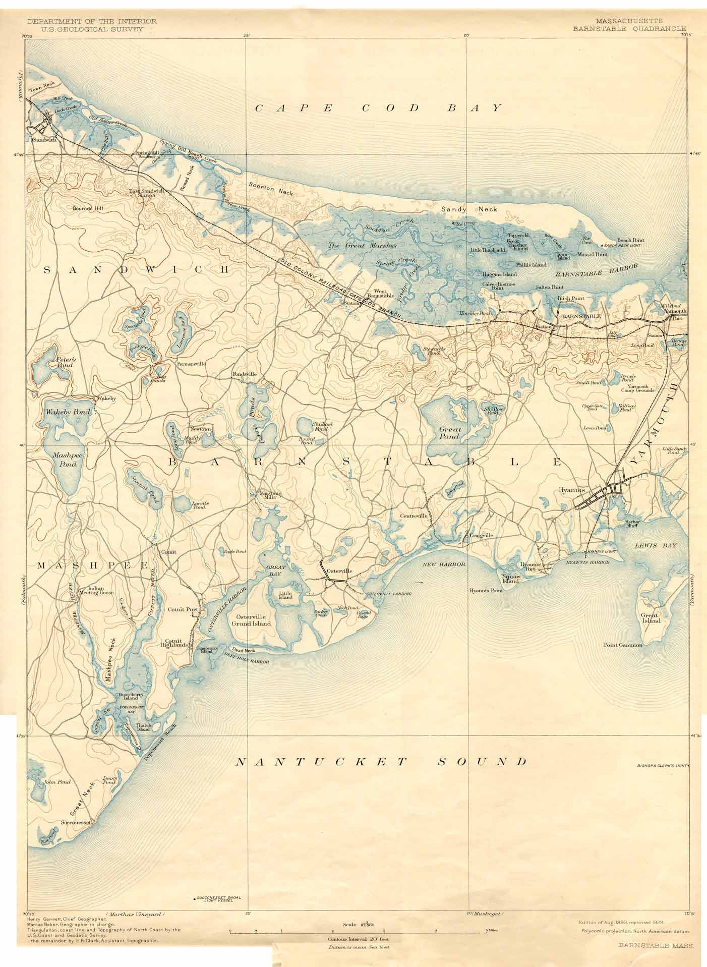
Barnstable 1893
Yarmouth 1893
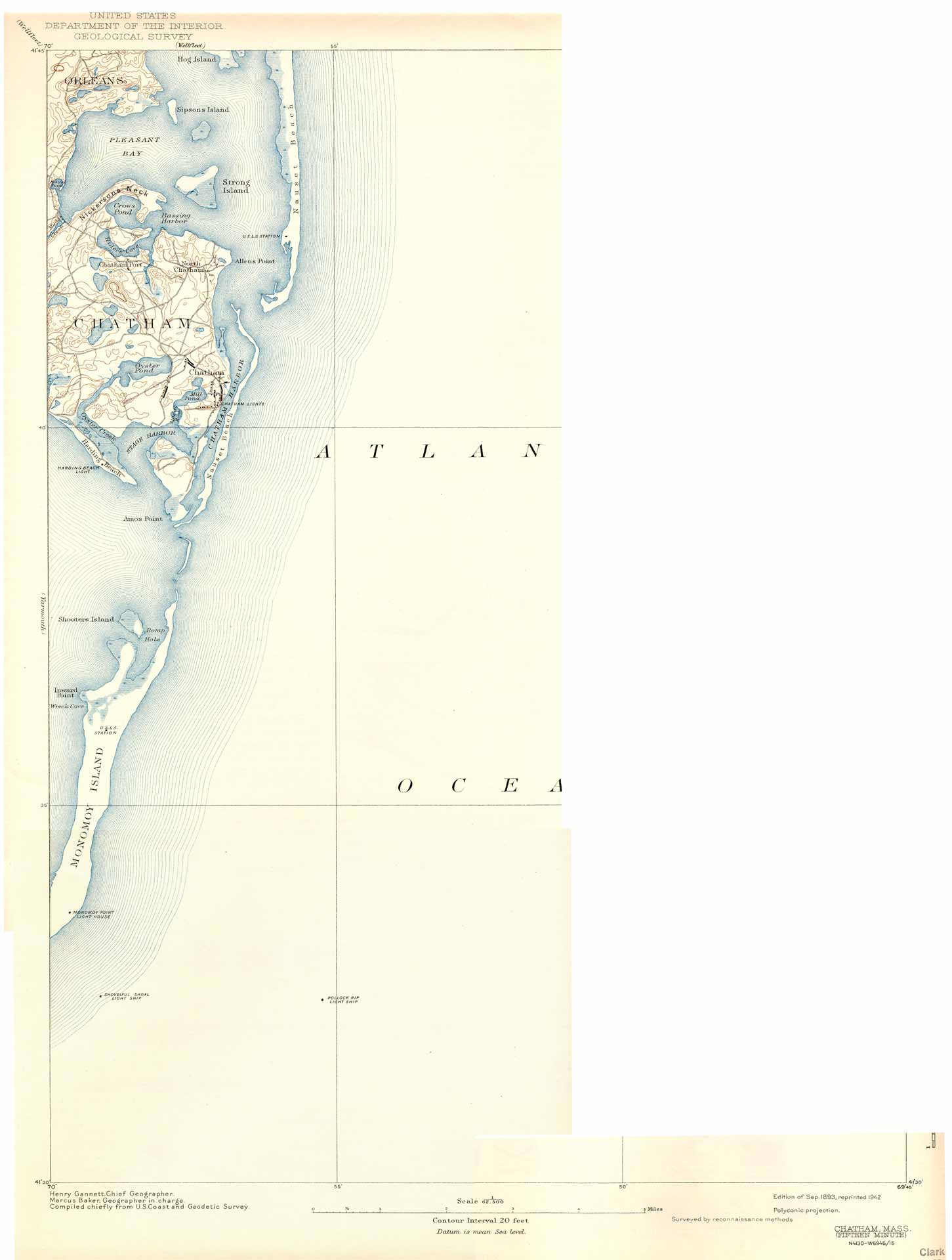
Chatham 1893
Wellfleet 1893
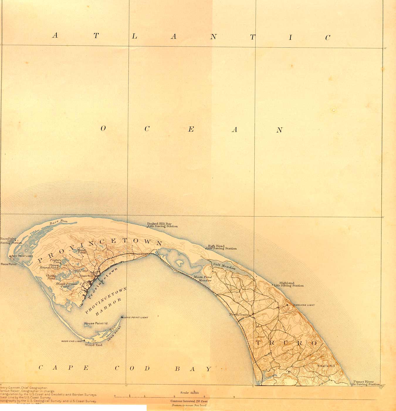
Provincetown 1893
Gay Head 1893
Marthas Vineyard 1894
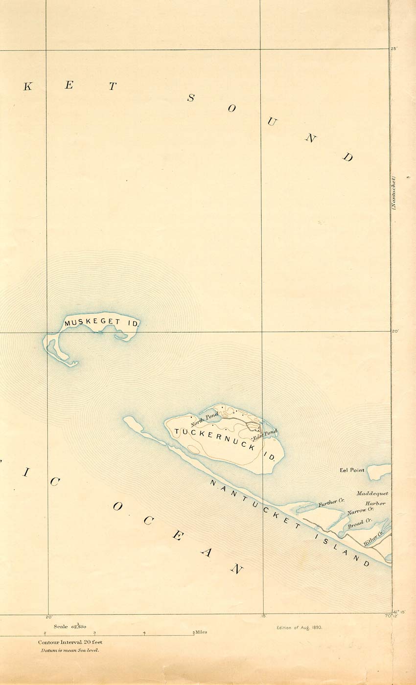
Muskegut 1893
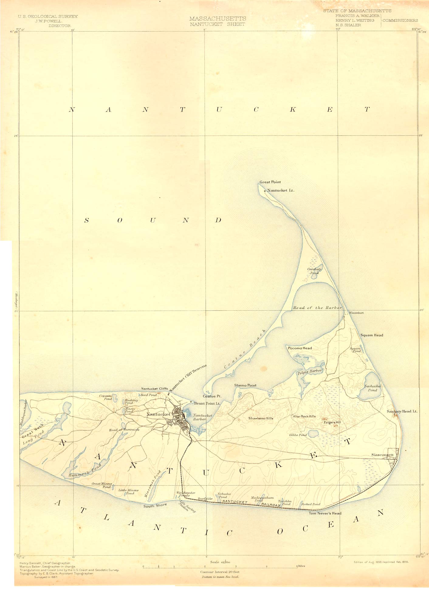
Nantucket 1893
To see any of these 12 maps, click on an image above. The image you will
see is low resolution for web viewing, so you won't be able to read most
words, but you can see the area each map covers.
(These maps are also available for free download at this
web site
http://docs.unh.edu/nhtopos/nhtopos.htm , but each map is in 4
pieces.)