|


Masschusetts:
State Maps
Counties:
Barnstable, Dukes & Nantucket
Berkshire
Bristol
Essex
Franklin
Hampden
Hampshire
Middlesex
Norfolk
Suffolk
Plymouth
Worcester
|
|
|
|
|
 |
Old
Maps of Cape Cod
and the Islands
Massachusetts |
For separate maps of the islands see:
|
|
|
|
|
|
|
|
|
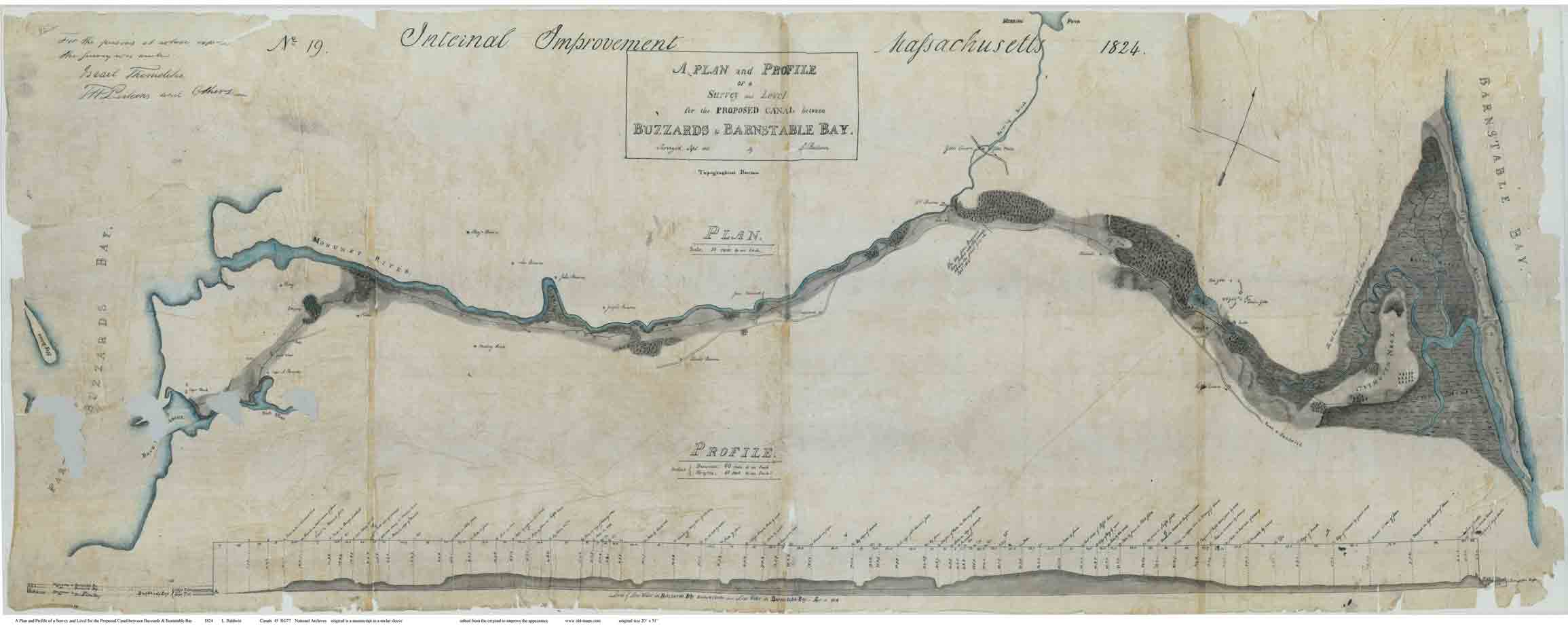
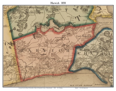
List of Towns on Cape Cod & Islands |
| Barnstable (includes Hyannis) |
Wellfleet |
| Brewster |
Yarmouth |
| Chatham |
Elizabeth Islands |
| Dennis |
Martha's Vineyard |
| Falmouth |
Gayhead |
| Mashpee (formerly Marshpee) |
Chilmark |
| Orleans |
Tisbury |
| Provincetown |
Edgartown (see Martha's Vineyard) |
| Truro |
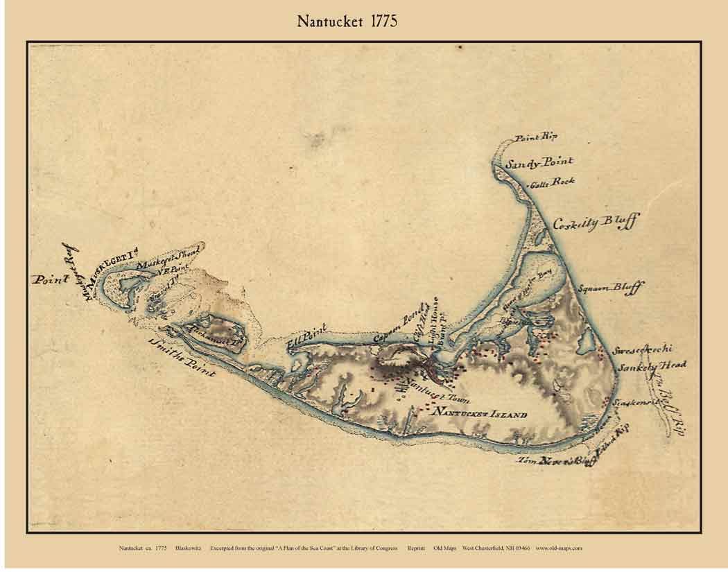
Nantucket |
| |
|
|
|
|
|
|
|