Old-Maps

Vermont
Massachusetts
New Hampshire
Maine
Connecticut
New York
Rhode Island
New England
About Us
News Coverage
Contact Us
Order Form
FAQ

Masschusetts:
State Maps
Counties:
Barnstable, Dukes & Nantucket
Berkshire
Bristol
Essex
Franklin

Hampden
Hampshire
Middlesex
Norfolk
Suffolk
Plymouth
Worcester


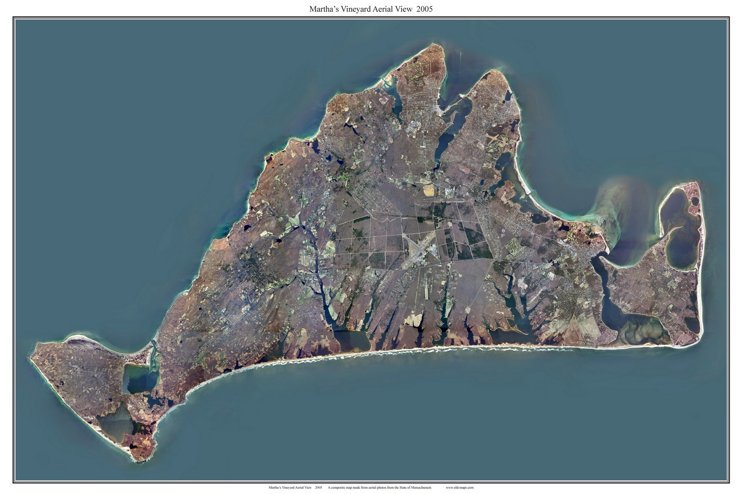
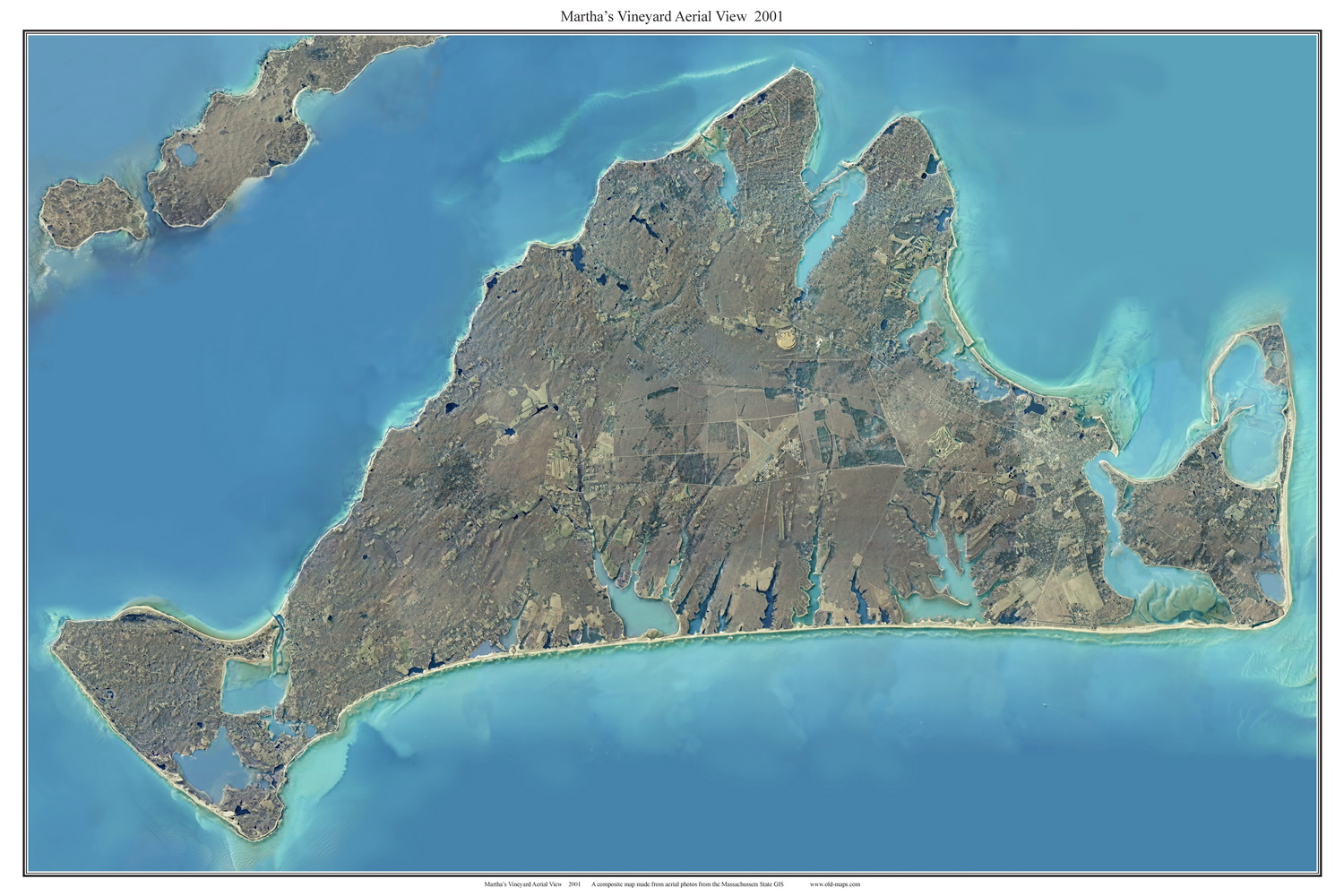
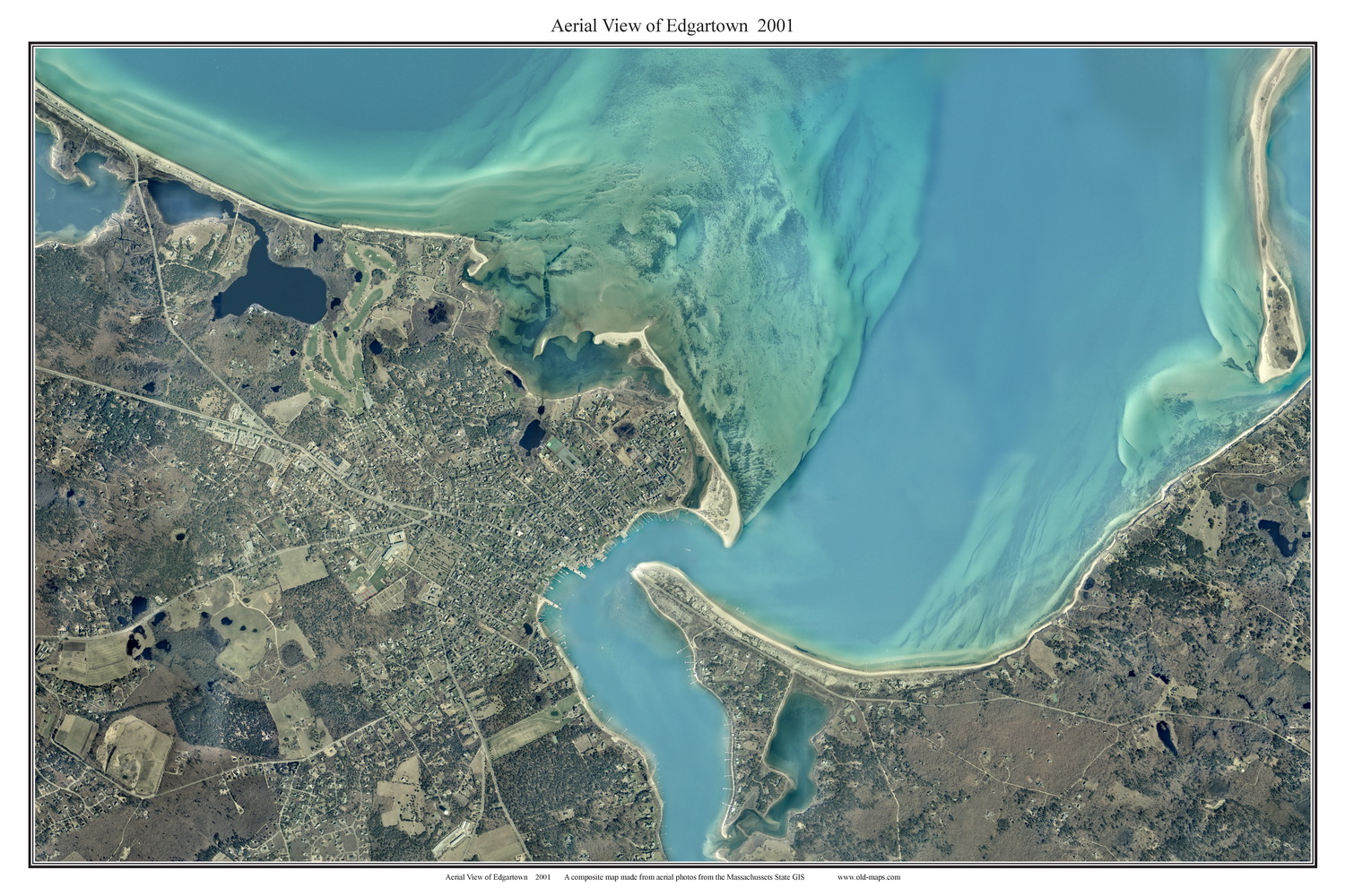
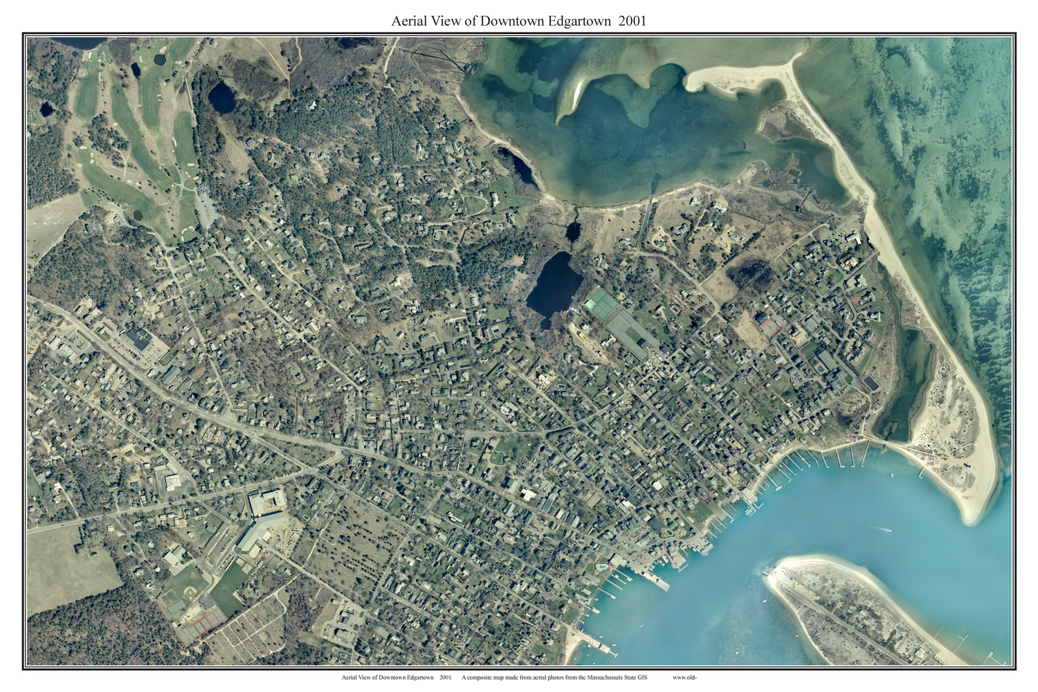
Aerial Photographs of Martha's Vineyard
Attractive maps for wall display

Home        Island Maps        Cape Cod Maps

Click here to purchase these maps through our store at shop.old-maps.com

Martha's Vineyard Aerial View 2005 

Martha's Vineyard Aerial View 2001

2005 Aerial View of Martha's Vineyard 2001 Aerial View of Martha's Vineyard
Martha's Vineyard Aerial View 2001 Martha's Vineyard Aerial View 2001
2001 Aerial View of Edgartown 2001 Aerial View of Downtown Edgartown
Landscape View
Martha's Vineyard Aerial View 2001  
2001 Aerial View of Downtown Edgartown
Portrait View


Revised: 
Copyright © 2005 [Old Maps]. All rights reserved.