Masschusetts: State Maps Counties: Barnstable, Dukes & Nantucket Berkshire Bristol Essex Franklin Hampden Hampshire Middlesex Norfolk Suffolk Plymouth Worcester
Old Maps of Provincetown - USGS "Topo" Maps Provincetown Maps Cape Cod maps
1890 Provincetown USGS from the 1890 Topo. Atlas of Massachusetts
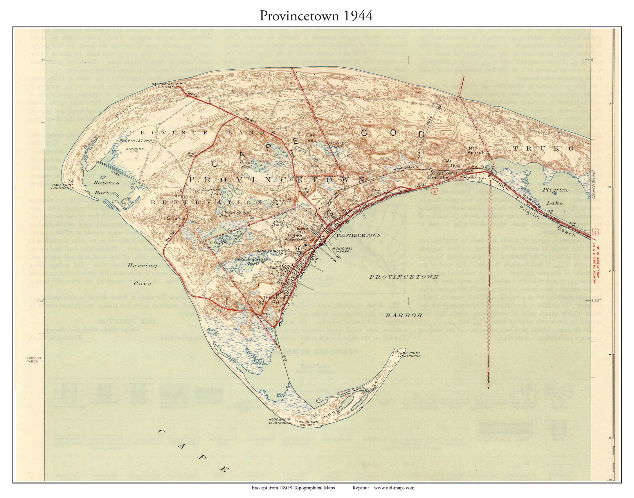
1944 Provincetown USGS
1949 Provincetown USGS
1958 Provincetown USGS
Revised: Copyright © 2005 [Old Maps]. All rights reserved.