|


Masschusetts:
State Maps
Counties:
Barnstable, Dukes & Nantucket
Berkshire
Bristol
Essex
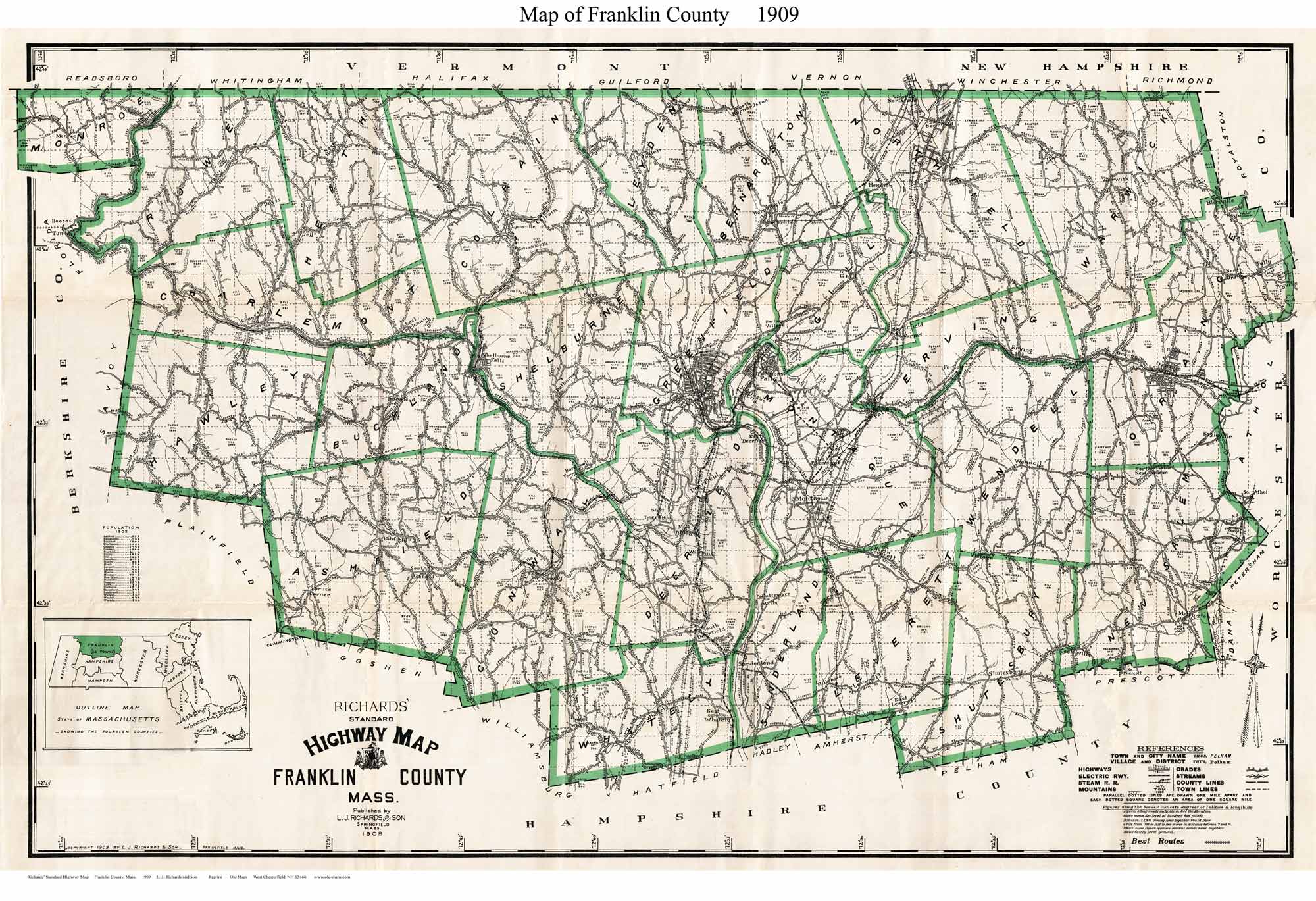
Franklin
Hampden
Hampshire
Middlesex
Norfolk
Suffolk
Plymouth
Worcester
|
|
|
|
1909 "Richards"
Highway Map
A Paper Print |
|
Roads, houses, placenames and principal features. One
of the oldest (if not the oldest) county map to show road names
throughout the county |
|
Click here to purchase this map through our store at shop.old-maps.com |

original size 26" x 40" |
To see a more detailed copy of the map,
click here or
on the map above. The image you will see is low-resolution for web
viewing, but you can see the extent of the road network in your town.
The excerpt below illustrates the detail and quality of our paper
prints. |
|
|
|