Acton
Arlington
Ashby
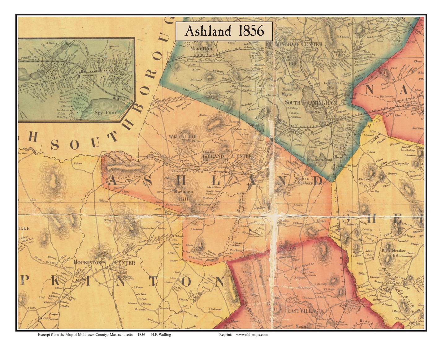
Ashland
Ayer
Bedford
Billerica
Boxborough
Brighton
Burlington
Cambridge
Carlisle
Charlestown
Chelmsford
Concord
Dracut
Dunstable Framingham
Groton |
Holliston
Hopkinton
Lexington
Lincoln
Littleton
Lowell
Malden
Marlborough
Maynard
Medford
Melrose
Natick (See Wayland)
Newton
North Reading
Pepperell
Reading
Sherborn
Shirley |
Somerville
South Reading
Stoneham
Stow
Sudbury
Tewksbury
Townsend Tyngsborough
Waltham
Watertown
Wayland (Cochituate, North Natick)
West Cambridge
Westford
Weston
Wilmington
Winchester
Woburn |