Masschusetts: State Maps Counties: Barnstable, Dukes & Nantucket Berkshire Bristol Essex Franklin Hampden Hampshire Middlesex Norfolk Suffolk Plymouth Worcester
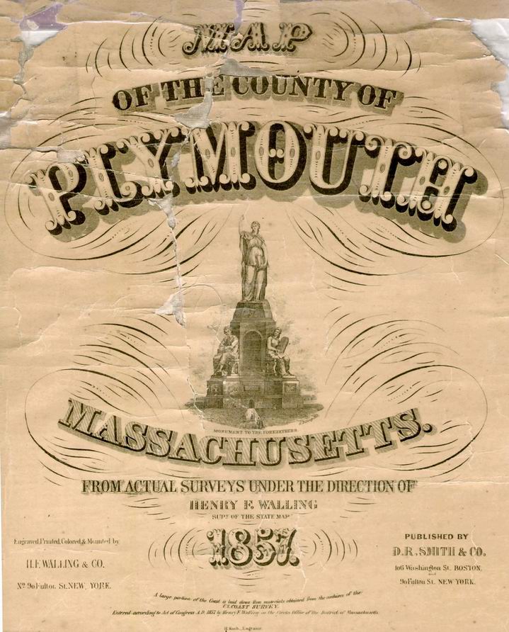
1879 Town & Village Map PrintsAtlas of Plymouth County, Massachusetts, George Walker PlymouthCo 1857 Town Prints
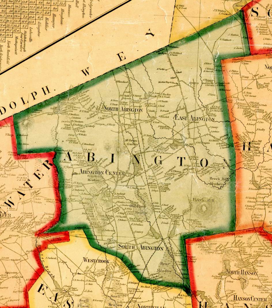
The 1879 Town and Village Maps
The images above are examples of the Town & Village Maps for this County
Revised: 08/17/16 Copyright © 2005 [Old Maps]. All rights reserved.