|

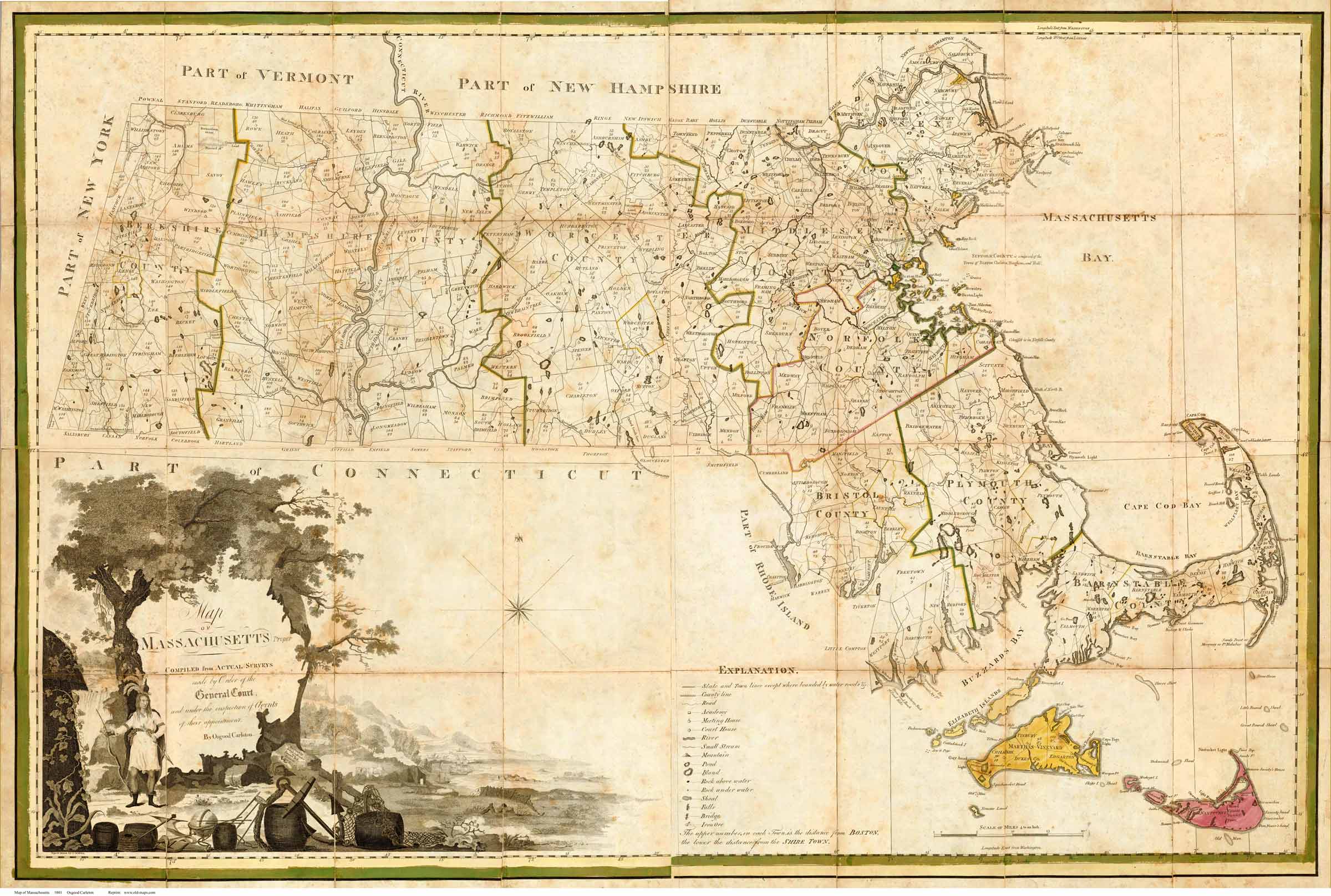
Click on the map to see a low-resolution image of the
entire
map. The image you see will be reduced in quality for easy
web access, but you can see the extent of the detail in your
area
 |
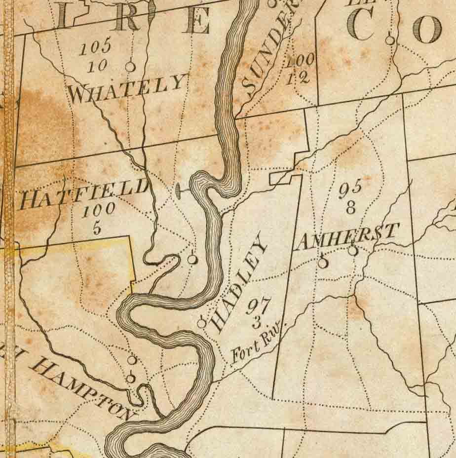
Above: a close-up view of a section of the map, the
Hatfield-Hadley-Amherst area.
The map was the result of individual town surveys ordered by the
Commonwealth in 1795, so most of the roads shown are presumed to
date from that period. The original edition of this map dates to
 |