Old-Maps

Vermont
Massachusetts
New Hampshire
Maine
Connecticut
New York
Rhode Island
New England
About Us
News Coverage
Contact Us
Order Form
FAQ

Masschusetts:
State Maps
Counties:
Barnstable, Dukes & Nantucket
Berkshire
Bristol
Essex
Franklin

Hampden
Hampshire
Middlesex
Norfolk
Suffolk
Plymouth
Worcester


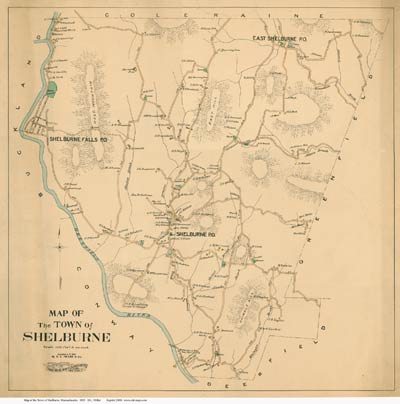
Old Maps of
Shelburne, Massachusetts

In addition to the town maps found in the 1858, 1871 sets on CDROM

1856  Shelburne Falls all houses in village - with names
1871 Beers Atlas Poster maps 2 maps - Town & village
1895 Miller Map Town of Shelburne - all roads & names
1895 USGS Topo Map
Fire Insurance Maps samples for viewing on-line
Low-resolution copies of many maps of Shelburne
Sets of Same-Size Maps for Historical Research
Click on this link to see small images of several town maps. These maps are available on a CDROM, or as same-size paper prints as described at this page.
 
Misc. Links

Modern road maps


Historical Society
Town Offices
History of Shelburne Not on-line


Revised: 02/03/10
Copyright © 2005 [Old Maps]. All rights reserved.