|
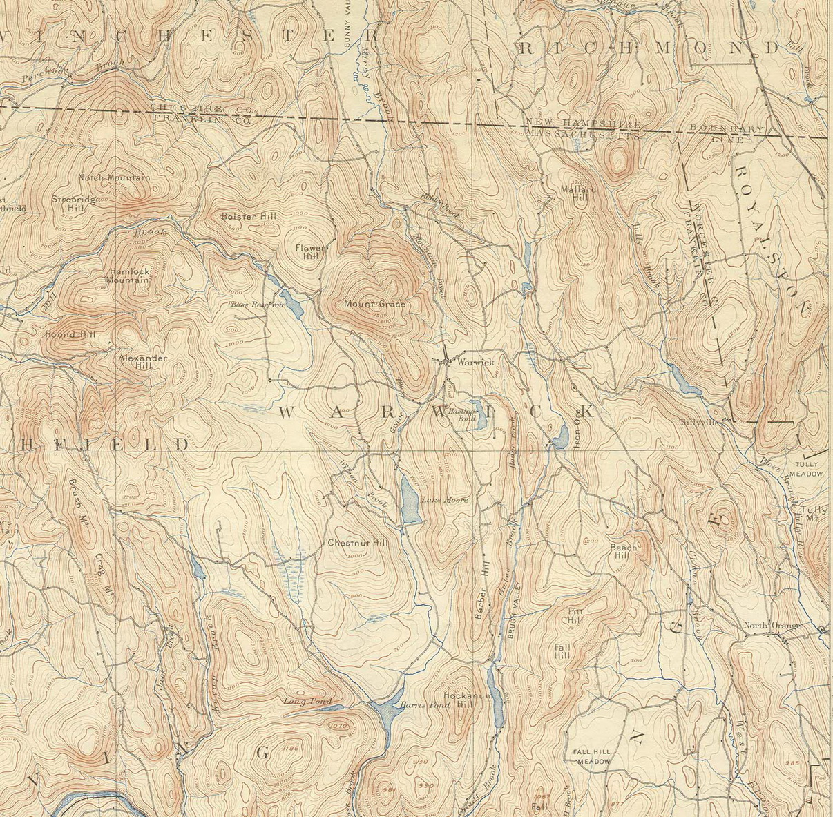
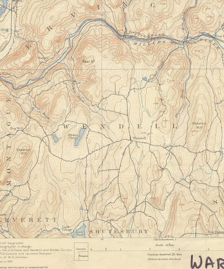
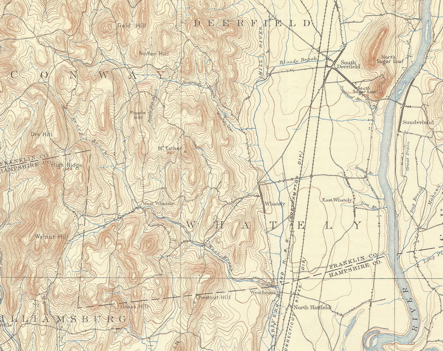
We have scanned our copies of the old USGS topo maps,
and have assembled them into separate single-town maps
Low-resolution copies available here for free, or you
can purchase high quality prints or scans.
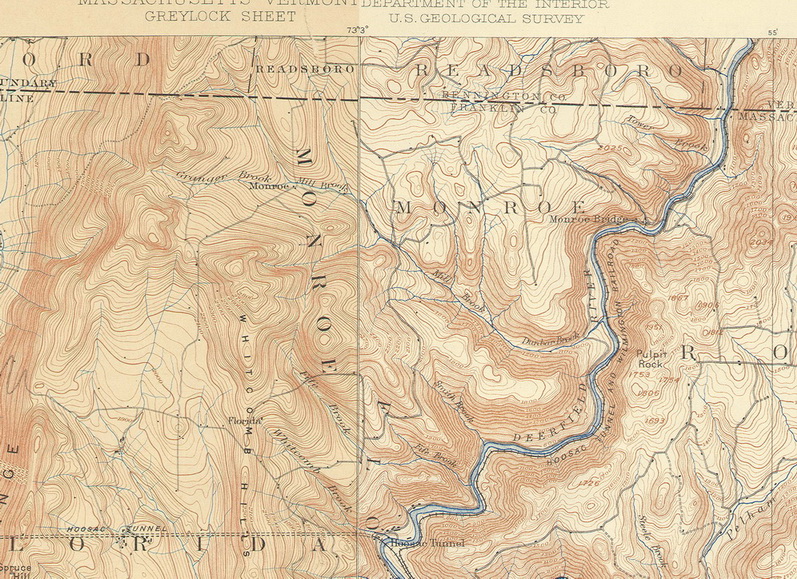
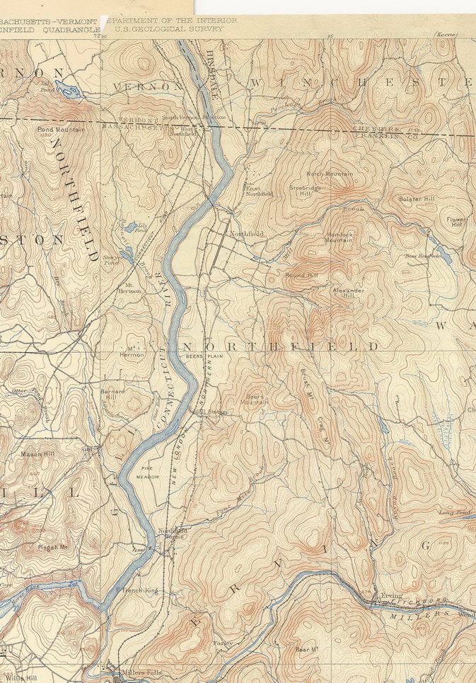
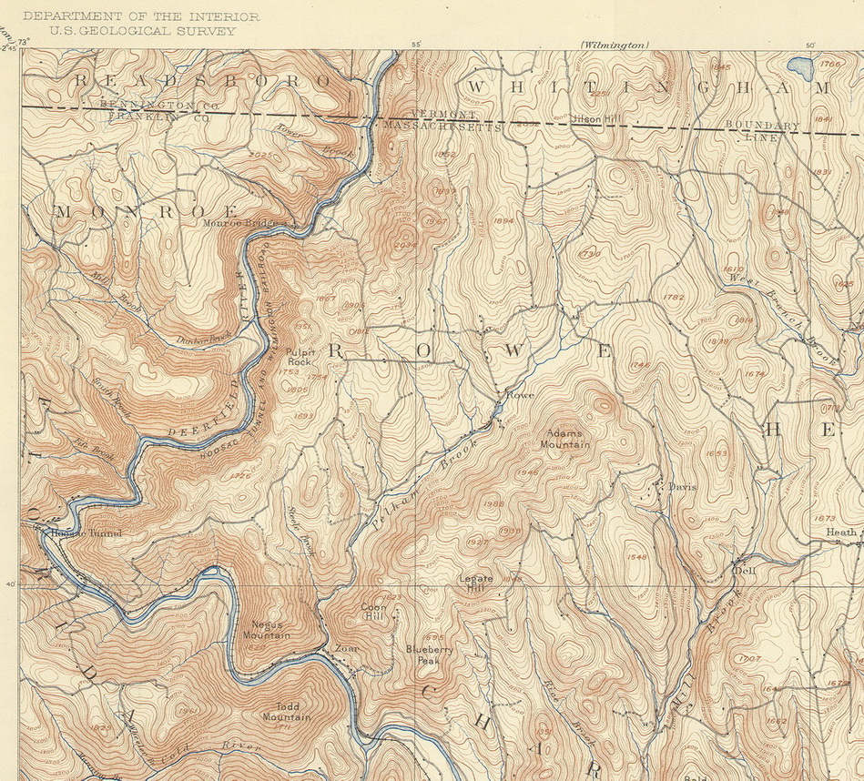
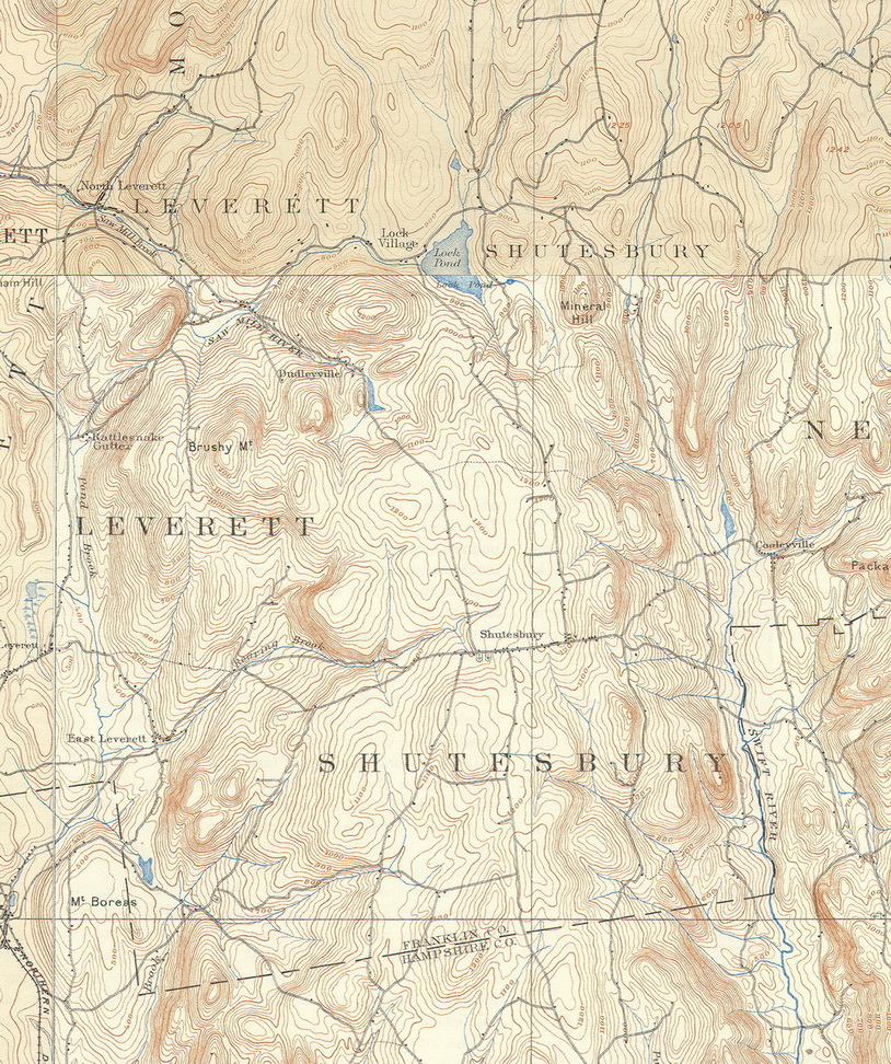
Town lines were not drawn on the old topo maps, so it can take a while
to get oriented with these old maps. Each of our maps includes a larger
area than just your town.
(*Users of "topo" maps know that each
town is often found on 2 or more separate topo sheets. We have stitched
them together so that each town is on one sheet.) |

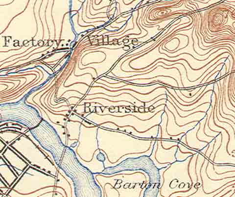
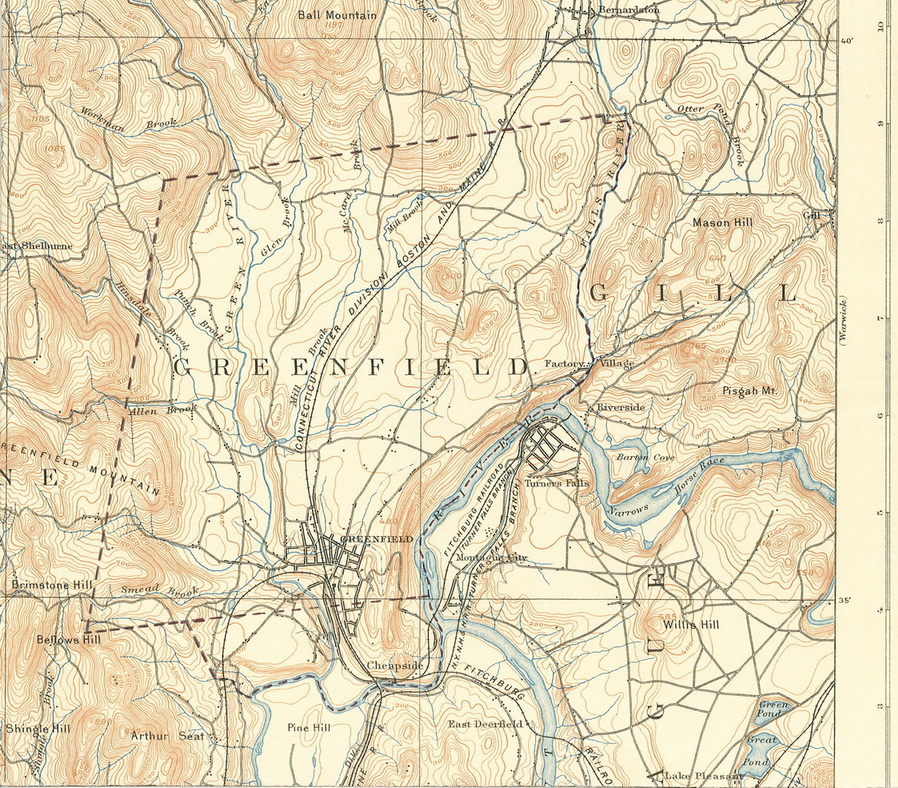
Here is a typical poster map - Gill in 1894. Click on
this map to see a more detailed version. |
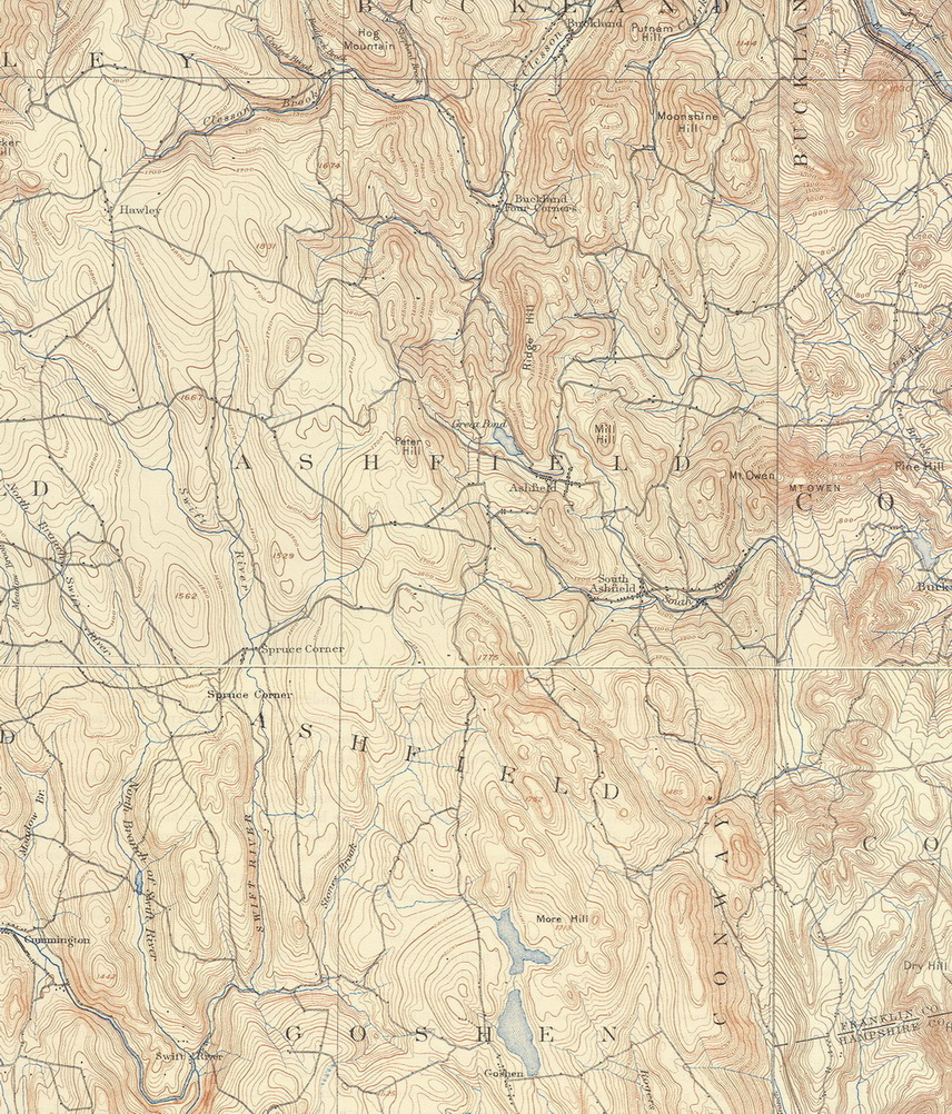
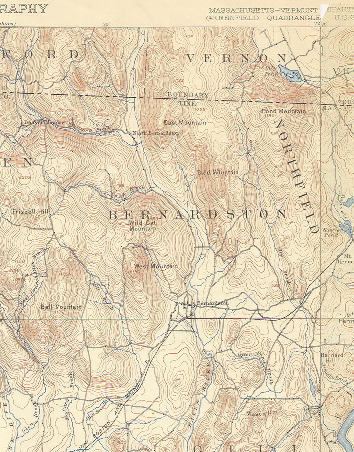
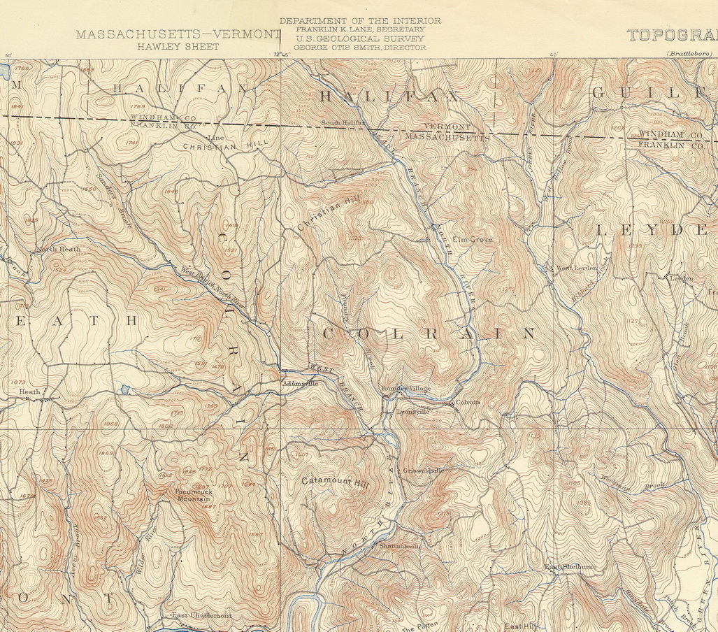
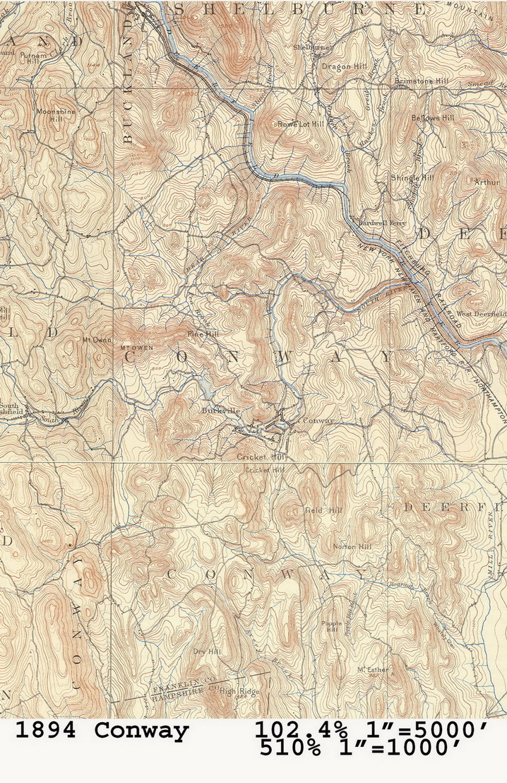
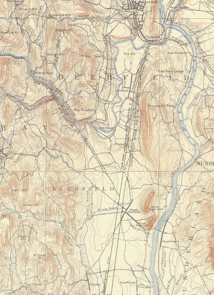
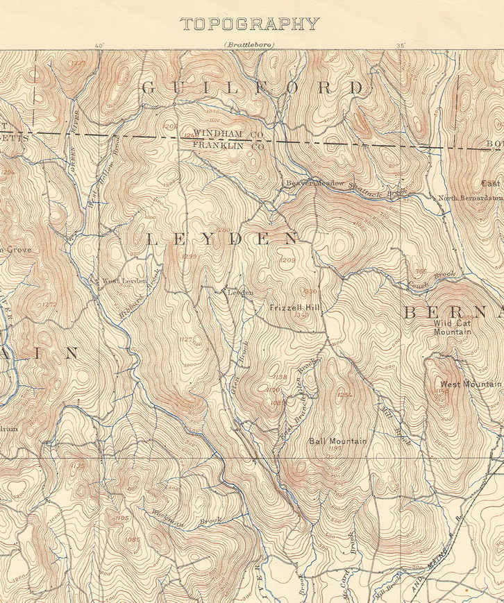
Click on your town to view a low-resolution copy of the map.(file size about 0.5mb) |

