Masschusetts: State Maps Counties: Barnstable, Dukes & Nantucket Berkshire Bristol Essex Franklin Hampden Hampshire Middlesex Norfolk Suffolk Plymouth Worcester
Maine Home Old Maps of Sebago Lake, Maine Cumberland Co
These maps are now listed for sale through our new store at shop.old-maps.com Click on an image below to see purchase options!
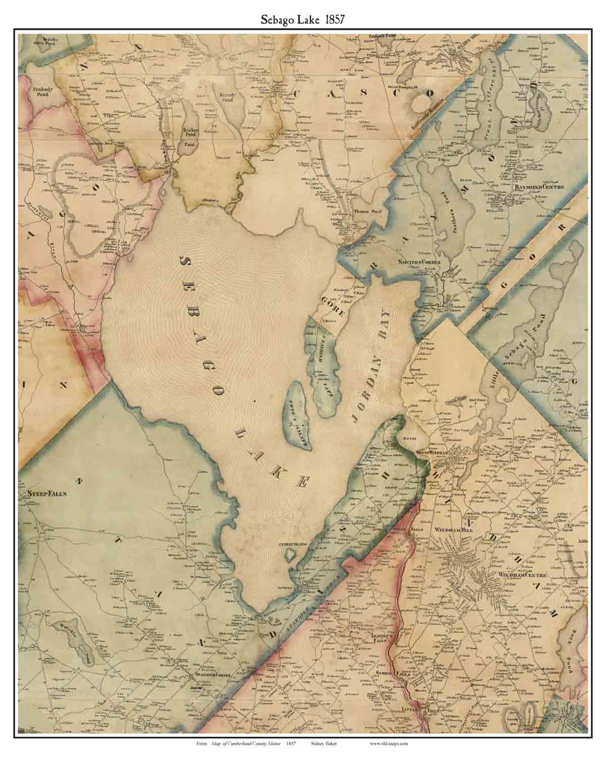
1857 from County Wall Map(extract from Cumberland Co. map by Baker)shows old homeowner names; before the railroads
1898 Topographicalcomposite of 4 old USGS topo maps
Revised: Copyright © 2005 [Old Maps]. All rights reserved.