|
Old Map of
Frederick County 1858
Maryland
WALL MAP REPRINT
Home
FrederickCo
Town Maps
CDROM |
|
Click
here to purchase this map through our store at shop.old-maps.com |

Click the above image to see it enlarged.
Orig size: 34" x 44"
(Original from Library of
Congress, Geography and Map Division)
|
|
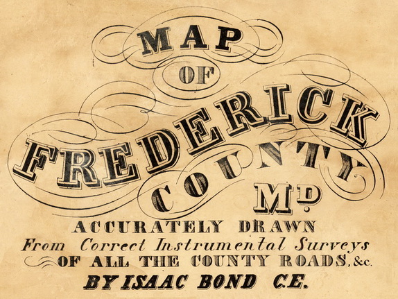
The 1858
"Map of Frederick County, Maryland" is available as a reproduction print in
multiple sizes.
The single sheet versions are
reduced from the original size. Most homeowner names are barely legible at the
smaller sizes offered,
but all town and village names and roads are easily
read.
Printed on heavy white bond paper,
suitable for framing.
Shipped rolled in a
tube. |
| Towns on the map: |
Buckeystown
District 1
Catocin District 6
Creagerstown
District 4
Emmitsburg District 5
Frederick District 2
Hauvers
District 10
|
Jackson
District 16
Jefferson District 14
Johnsville
District 17
Liberty District 8
Mechanics Town District 15
Middletown
District 3
|
Mount Pleasant
District 13
NewMarket District 9
Petersville
District 12
Urbana District 7
Woodsborough District 11
|
|
|
| |

