Old-Maps

Vermont
New Hampshire
Massachusetts
Maine
Connecticut
Rhode Island
New England

New York
New Jersey
Pennsylvania
Delaware
Maryland
Washington DC
Virginia


Background
News Coverage
Contact Us
Order Form
FAQ


Old Maps of Maryland        Page 2
Attractive maps for wall display  -  Reprints

Home            Page 1    Page 2    Page 3    Page 4    Page 5            Birds Eye Views            County Maps

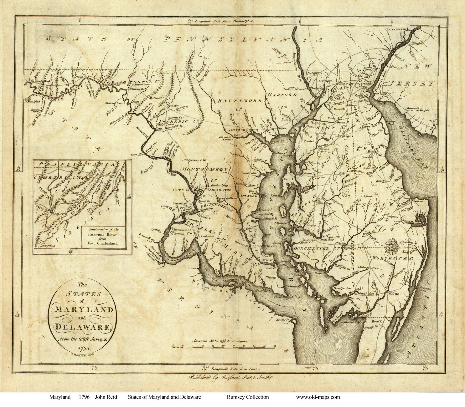
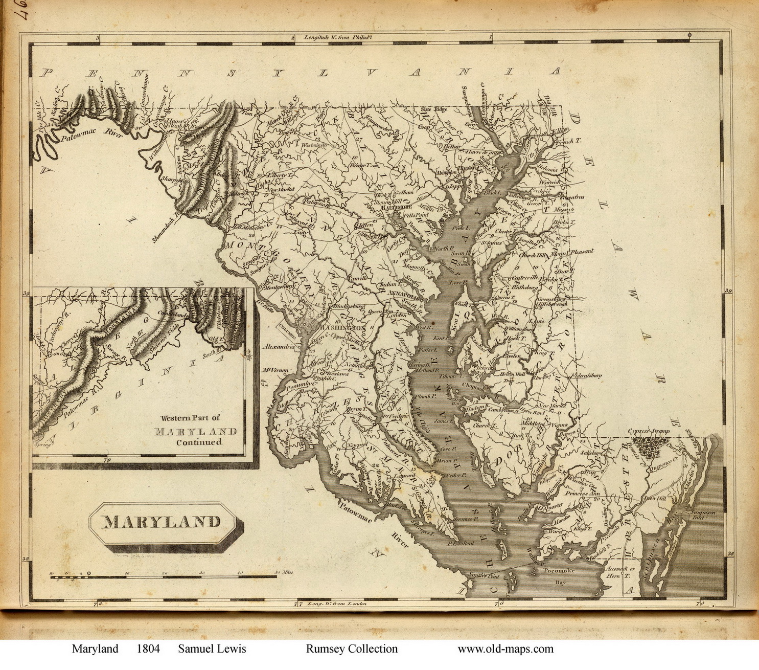
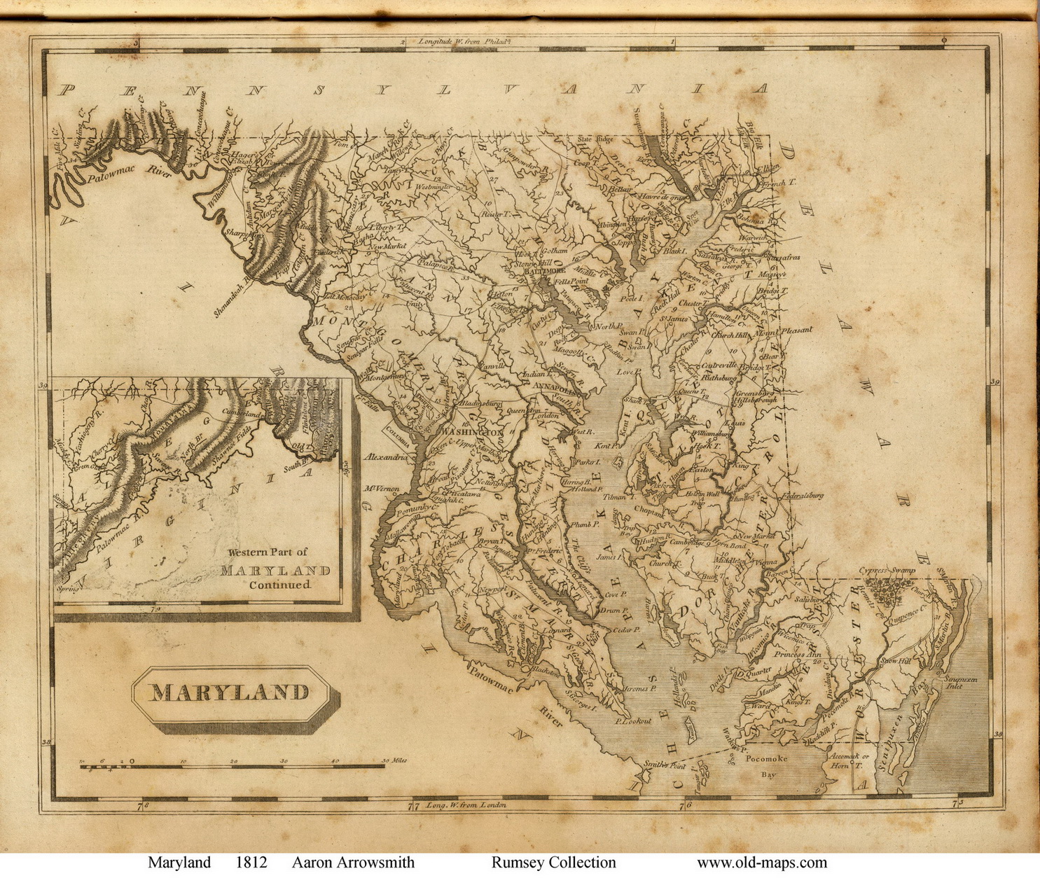
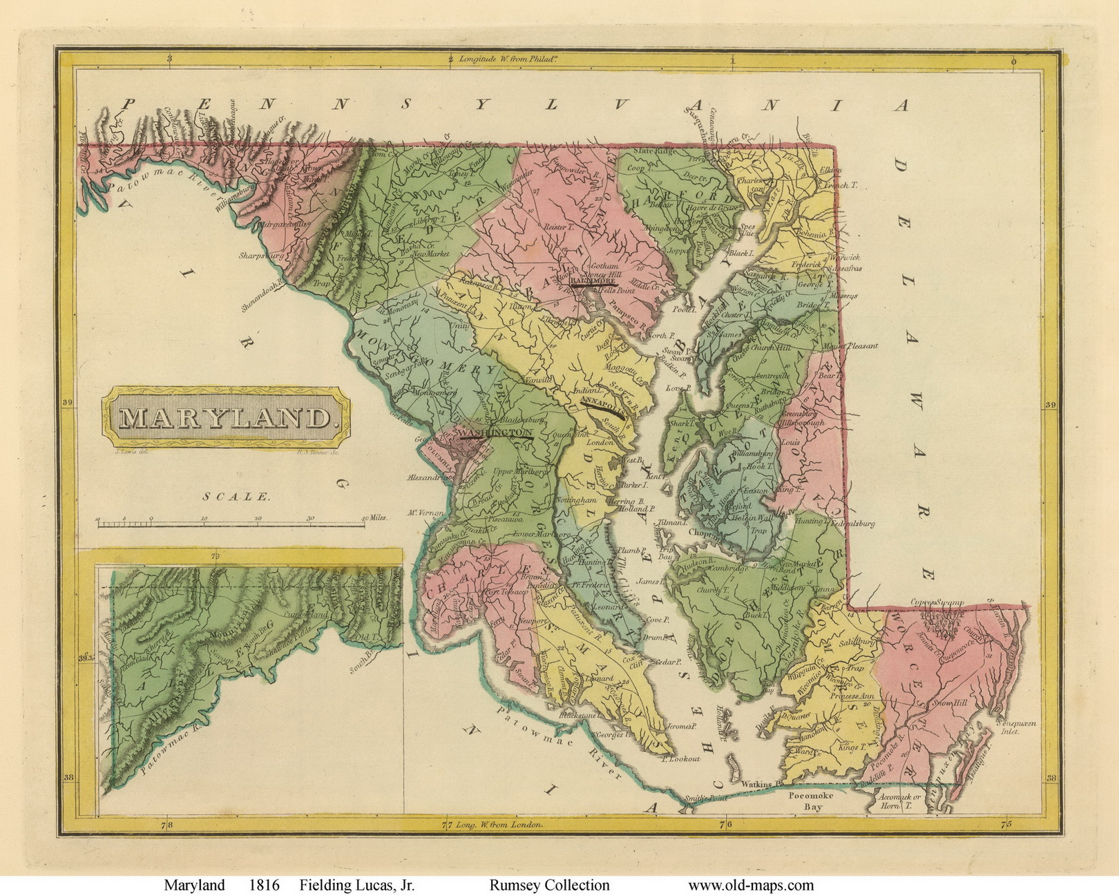
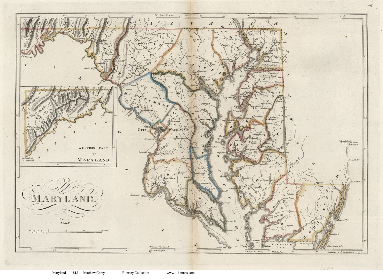
 These maps were chosen for their charm as well as their historical value.
Each map is available in different sizes.
Click on a thumbnail to see a larger image of the map (images are degraded for the web).

Click here to view and purchase these and many more State maps of Maryland!


Map of the State of Maryland, 1795 Scott
Map of the State of Maryland, 1796 Carey
1795 Scott
Original size 7" x 8"
1796 Carey
Original size 10" x 13"

Map of the State of Maryland, 1796 Reid


Map of the State of Maryland, 1804 Lewis
1796 Reid
Original size 12" x 14"
1804 Lewis
Original size 9" x 10.5"


Map of the State of Maryland, 1812 Arrowsmith

Map of the State of Maryland, 1816 Lucas
1812 Arrowsmith
Original size 9" x 11"
1816 Lucas
Original size 9" x 12"
Map of the State of Maryland, 1818 Carey Map of the State of Maryland, 1823 Henshaw
1818 Carey
Original size 13" x 18"
1823 Henshaw
Original size 7" x 9"


Revised: 08/17/17
Copyright © 2005 [Old Maps]. All rights reserved.