|
Old Maps of
Maryland
Page 5
Attractive maps for wall
display - Reprints
Home Page
1
Page 2 Page 3
Page 4 Page 5 Birds Eye Views
County Maps |
|
These maps were chosen for their charm as well as their historical
value.
Each map is available in
different sizes.
Click on a thumbnail to see a larger image
of the map (images are degraded for the web).
Click here to view and purchase these and many more State maps of
Maryland!
|

|
 |
1870 Johnson
Original size 11" x 16" |
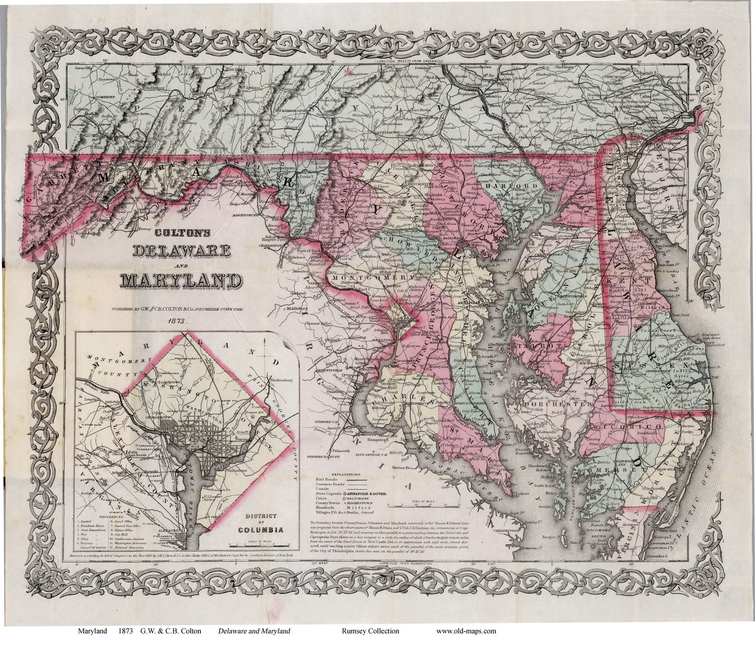
1873 Colton
Original size 14" x 17" |
|

|
 |
1879 Rand McNally
Original size 9" x 12" |
1889 Rand McNally
Original size 14" x 21" |
|
 |
 |
1897 Rand McNally
Original size 11" x 16" |
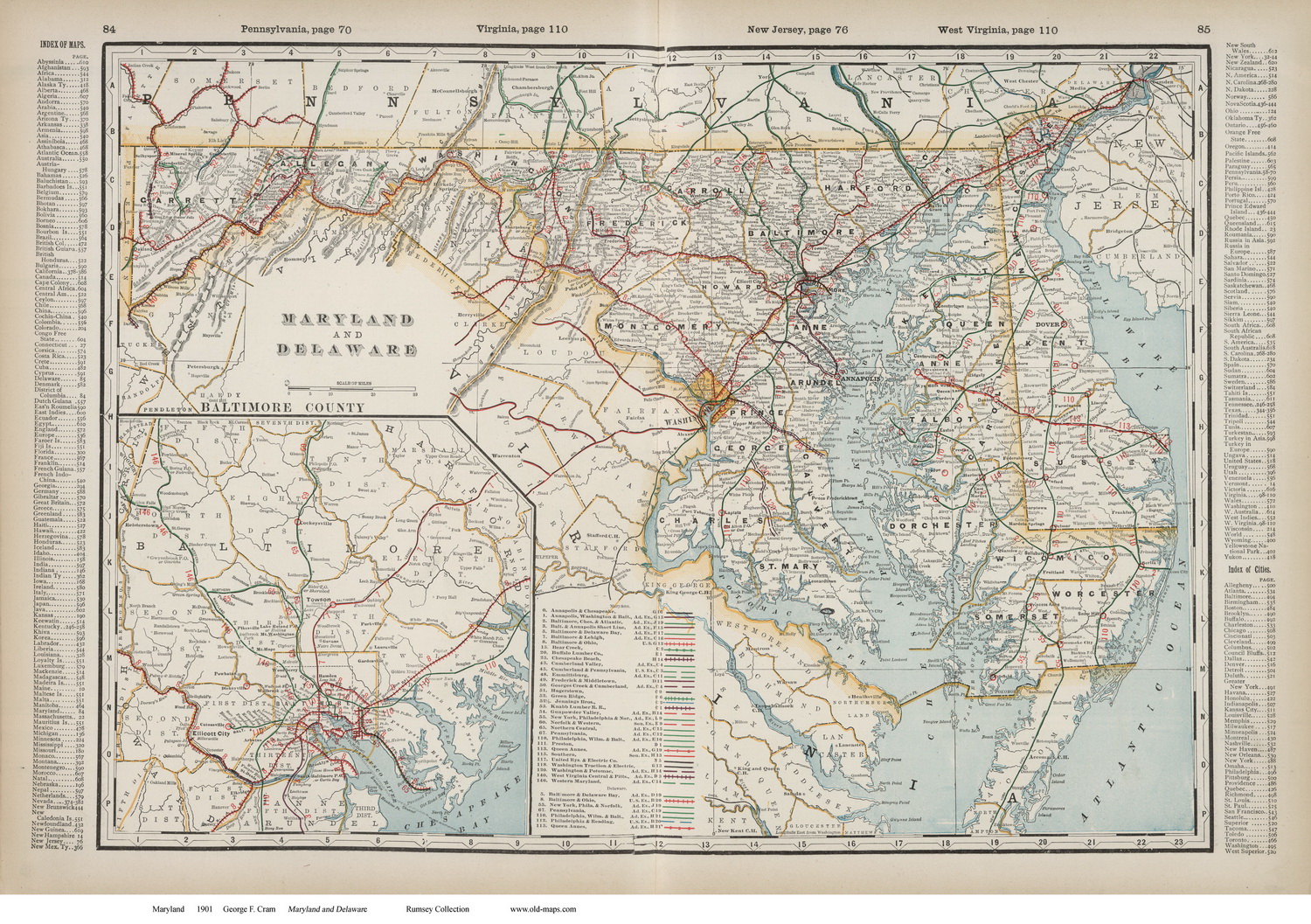
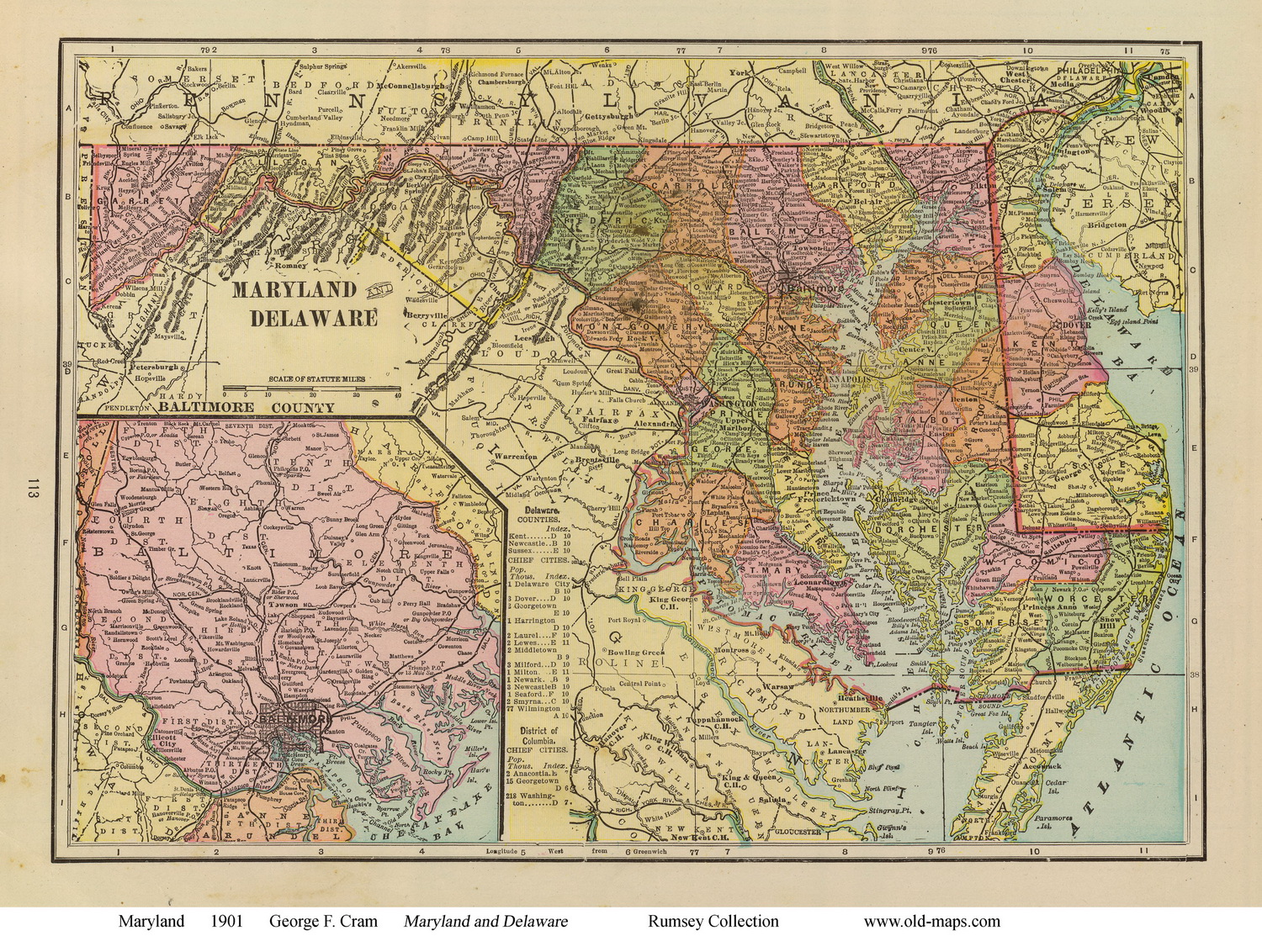
1901 Cram
Original size 18" x 26.5" |
 |
|
1909 Cram
Original size 9" x 12" |
|
|
|