Historical Nautical Charts
of Alaska
8000 Series - varying scale
Old Maps Home
Alaska Nautical Home
Alaska Sailing Charts
This is a collection of charts of varying scale. The first charts in the series show the southern border of
Alaska and Canada, and the final chart shows the Bering Strait.
See also Alaskan Coast Sailing Charts
Click here to view and purchase these charts on our new and improved website!
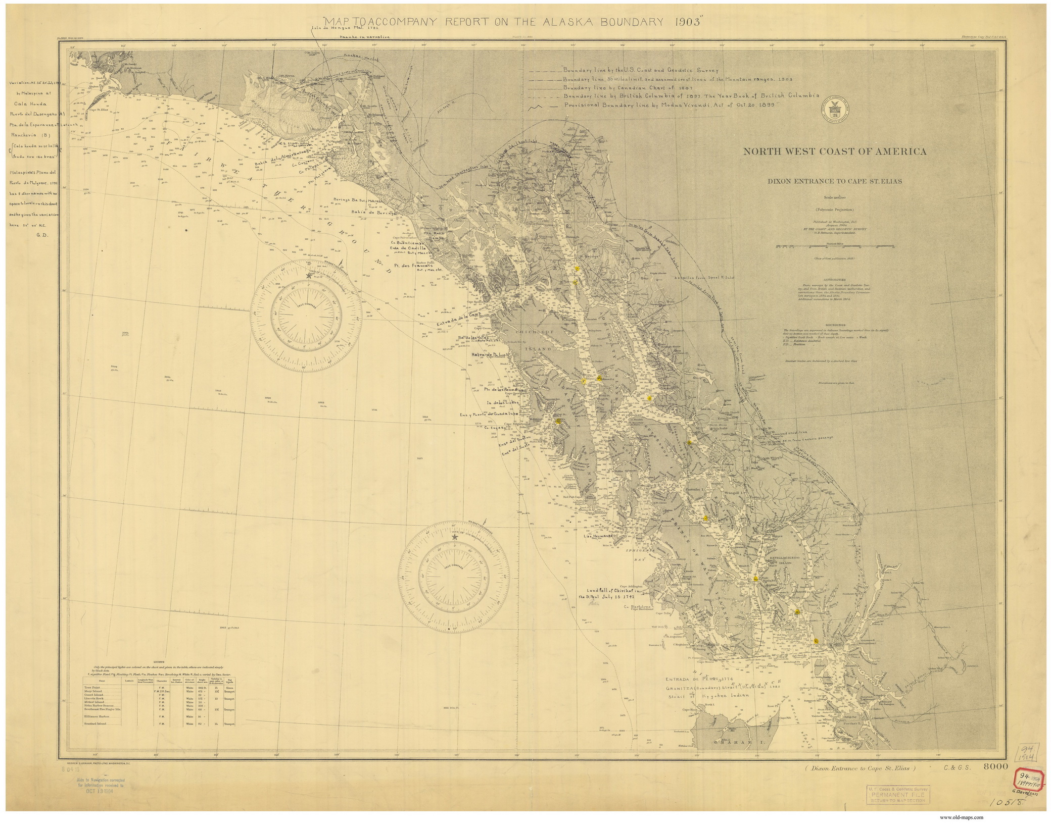
Dixon Entrance to Cape St. Elias - 1904
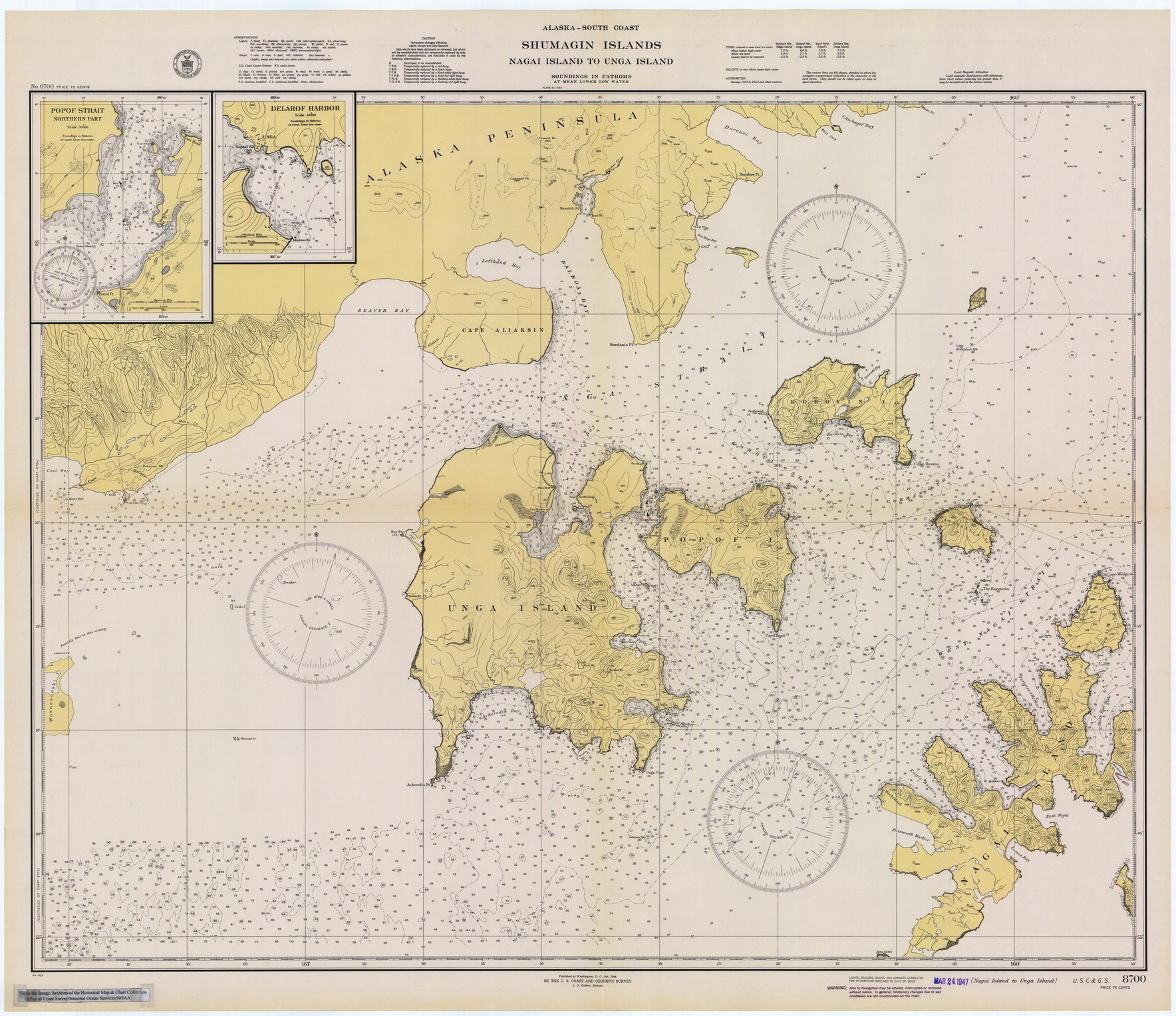
Nagai Island to Unga Island - 1944
Example maps from the 8000 series
-click on either image above to view a larger copy-
Revised: 01/29/15
Copyright © 2005 [Old Maps]. All rights reserved.