Historical Nautical Charts
of Alaska
Sailing Charts - Large Area
Old Maps Home
Alaska Nautical Home
Alaska 8000 series
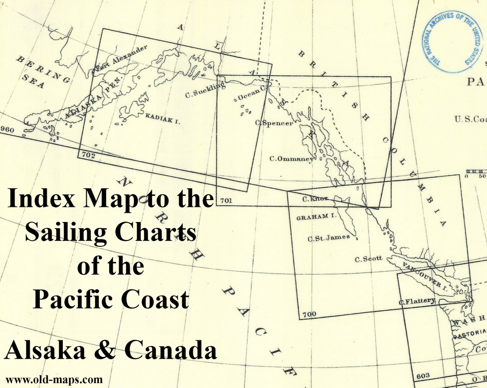
This collection of charts covers the coast of Alaska from the Bering Sea south to the Canadian Border.
The coastline between Alaska and the contiguous United States is also covered.
See also 8000 series Alaska Charts
Click here to view and purchase these charts on our new and improved website!
Cape Flattery to Dixon Entrance - 1886
Index Map - click to enlarge
Example map from the series
-click on the image above to view a larger copy-
Revised: 08/07/17
Copyright © 2005 [Old Maps]. All rights reserved.