Vermont
Massachusetts
New Hampshire
Maine
Connecticut
New York
New England
Background
News Coverage
Contact Us
Order Form
FAQ

E-mail

Colonial
New England:

NE CDROM
NE Reprints

Reprint Information:
1570 World Ortelius
1680 World Map
1690 Americas
1680 Novi Belgii
1702 Morden
1753 New Engelland
1755 Douglass
1759 Nova Anglia
1771 Bowles
1776 Seat of War
1779 NE Probst


Colonial Maps Reprints
New Engelland, New York..
1753
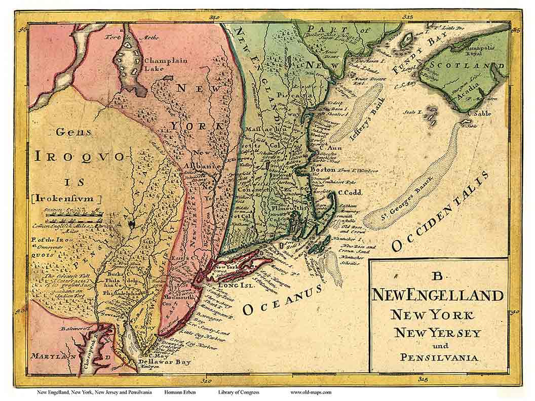
Click on the image to view/download a more legible version of this map. The image you will see is low resolution for easy web access, but it does show the areas covered and the visual charm of the old map.

"New Engelland  New York  New Jersey and Pensilvania"

Homann Erben
 

This visually striking and very old map shows the whole northeast coast of the British Colonies - from Chesapeake Bay to Nova Scotia.

14" x 17", rolled in a tube.

 Full color inkjet print.

 
 New Engelland, New York etc Map  1753   $14 + $6 s/h
 
 
ONLINE ORDER:  Click on one of these icons to pay by Credit Card.

MAIL ORDER:  To order a copy, print out a copy of this page and mail it with your check or money order to:   Old Maps  PO Box 54  West Chesterfield, NH  03466.


Revised: 01/11/10
Copyright © 2005 [Old Maps]. All rights reserved.