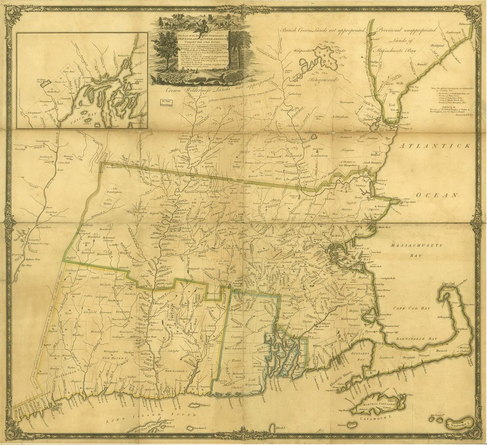
Vermont
Massachusetts
New Hampshire
Maine
Connecticut
New York
New England
Background
News Coverage
Contact Us
Order Form
FAQ

E-mail

Colonial
New England:

NE CDROM
NE Reprints

Reprint Information:
1570 World Ortelius
1680 World Map
1690 Americas
1680 Novi Belgii
1702 Morden
1753 New Engelland
1755 Douglass
1759 Nova Anglia
1771 Bowles
1776 Seat of War
1779 NE Probst


Colonial Maps Reprints
 Douglass Map
of New England - 1755
Click on the image to view/download a more legible version of this map. The image you will see is low resolution for easy web access, but it does show the areas covered and the visual charm of the old map.

 
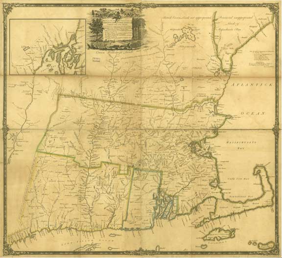
Click on the map to see a more detailed view.

This remarkable map shows township names and boundaries throughout New England at a very early time. Of special interest are the early town names, especially in the frontier towns of western Massachusettts, New Hampshire and Vermont.

The map is lightly colored, and faded from  age. We have retouched the scanned image from Library of Congress and adjusted the coloring to make a pleasing wall map

36" x 38", rolled in a tube. Inkjet ink reprint.

This Plan of The British Dominions of New England      Douglass, William
 Douglass Map of New England 1755   $40 + $6 s/h
 
 
ONLINE ORDER:  Click on one of these icons to pay by Credit Card.

MAIL ORDER:  To order a copy, print out a copy of this page and mail it with your check or money order to:   Old Maps  PO Box 54  West Chesterfield, NH  03466.


Revised: 08/12/09
Copyright © 2005 [Old Maps]. All rights reserved.