Old-Maps

Vermont
Massachusetts
New Hampshire
Maine
Connecticut
New York
Rhode Island
New England
About Us
News Coverage
Contact Us
Order Form
FAQ

New Hampshire:
Bird's Eye Views
State Maps
Counties:
Belknap
Carroll
Cheshire
Coos
Grafton
Hillsboro
Merrimack
Rockingham
Strafford
Sullivan


Cheshire County Maps

We have a large selection of very detailed maps of Cheshire County, most of which are available as CDROM collections, with paper prints available as indicated.

Single Town Maps

1858 Town Prints

1892 Town Map Free Downloads

If your town is linked below there are special prints available now.

Alstead
Chesterfield
Dublin
Fitzwilliam
Gilsum
Harrisville
Hinsdale
Jaffrey
Keene
Marlboro
Marlow
Nelson
Richmond
Rindge

Stoddard
Surry
Swanzey
Troy
Walpole
Westmoreland
Winchester


Cheshire County Outline Map

County/Town
Collections, etc.

Detailed town maps are available on our county and town publications.

1892 "Hurd Atlas" Maps


There are 3 county-wide volumes and 5 town volumes.

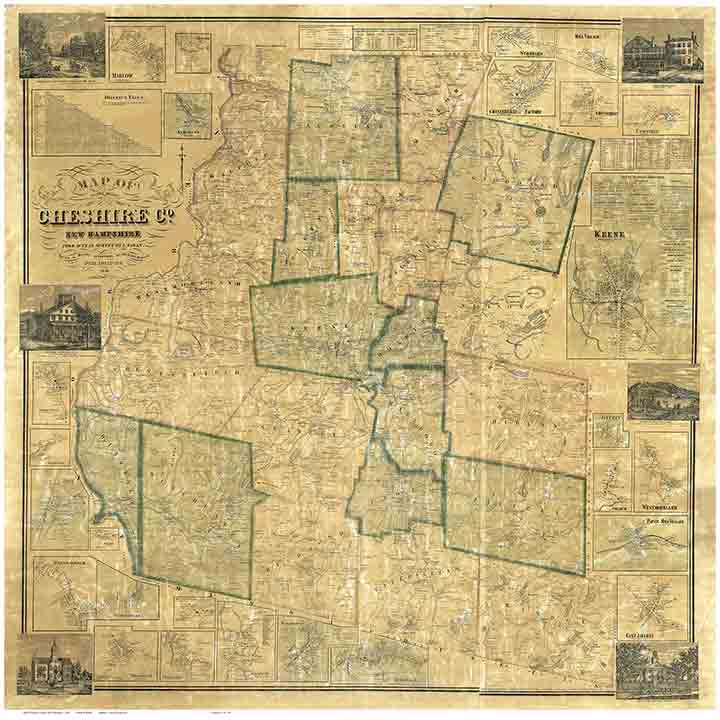
1858 Map Set  &  Wall Map Reprint 
1877 Atlas
Cheshire County: The Early Maps 1753-1816

Hinsdale Book
Keene Book
Swanzey Book
Winchester Book
Westmoreland CDROM

State Maps

These New Hampshire State maps provide additional town and county detail.

1) 1761 Blanchard & Langdon
2) 1784 Holland Map
3) 1816 Carrigain map

State Maps Page


Revised: 04/10/10
Copyright © 2009 [Old Maps]. All rights reserved.