Rockingham County Maps Town prints - Bird's Eye Views - CDROM (whole county)
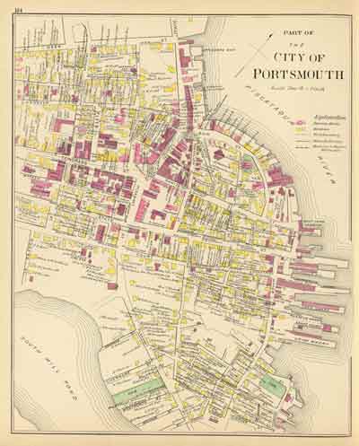
Town / County Maps
Atkinson
Auburn
Brentwood
Candia
Chester
Danville
Deerfield
Derry
Epping
Exeter
Fremont
Gostport
Greenland
Hampstead
Hampton
Hampton Falls
Londonderry
Newington
Newmarket
Newton
North Hampton
Northwood
Nottingham
RyeSalem
Sandown
Seabrook
South Hampton
South Newmarket
Stratham
Windham
Early State Maps
These New Hampshire State maps provide additional town and county detail. 1) 1761 Blanchard & Langdon 2) 1784 Holland Map 3) 1816 Carrigain map County Prints from the 1816 Carrigain State Map
Revised: 04/19/16 Copyright © 2009 [Old Maps]. All rights reserved.