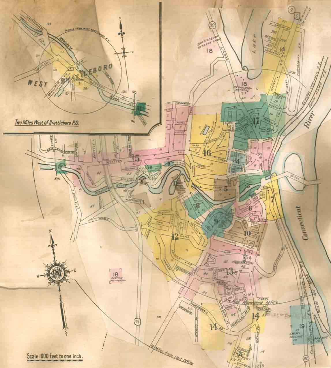
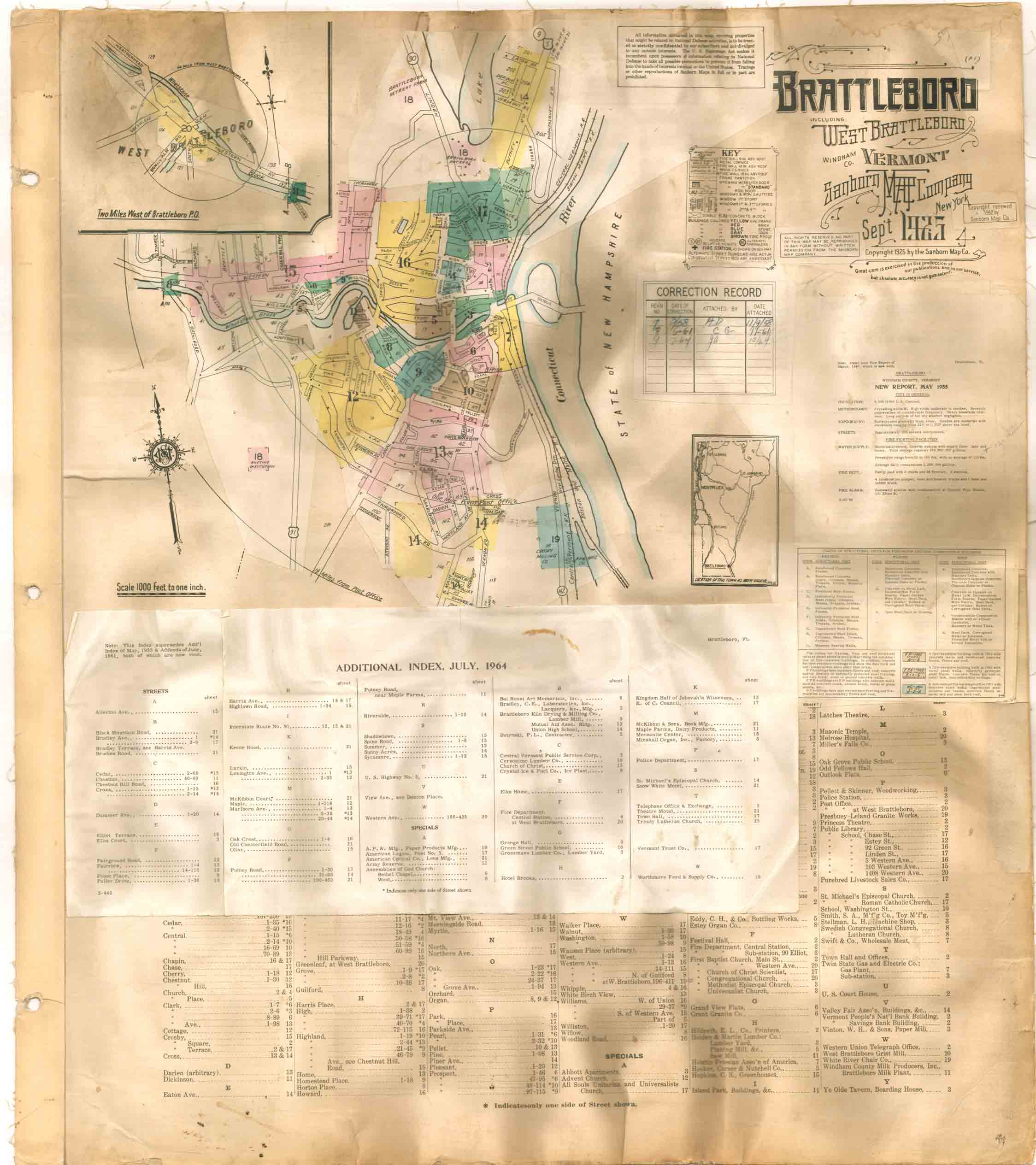
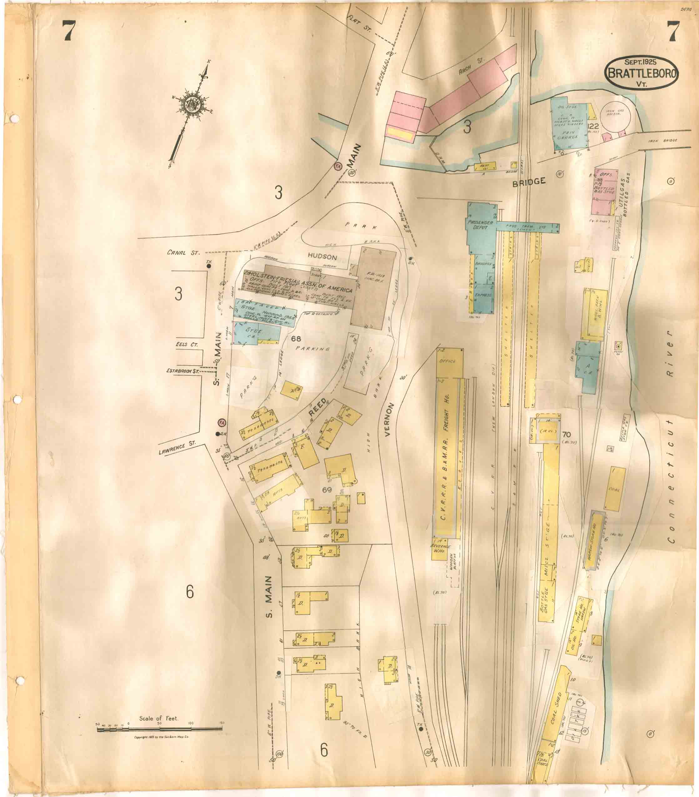
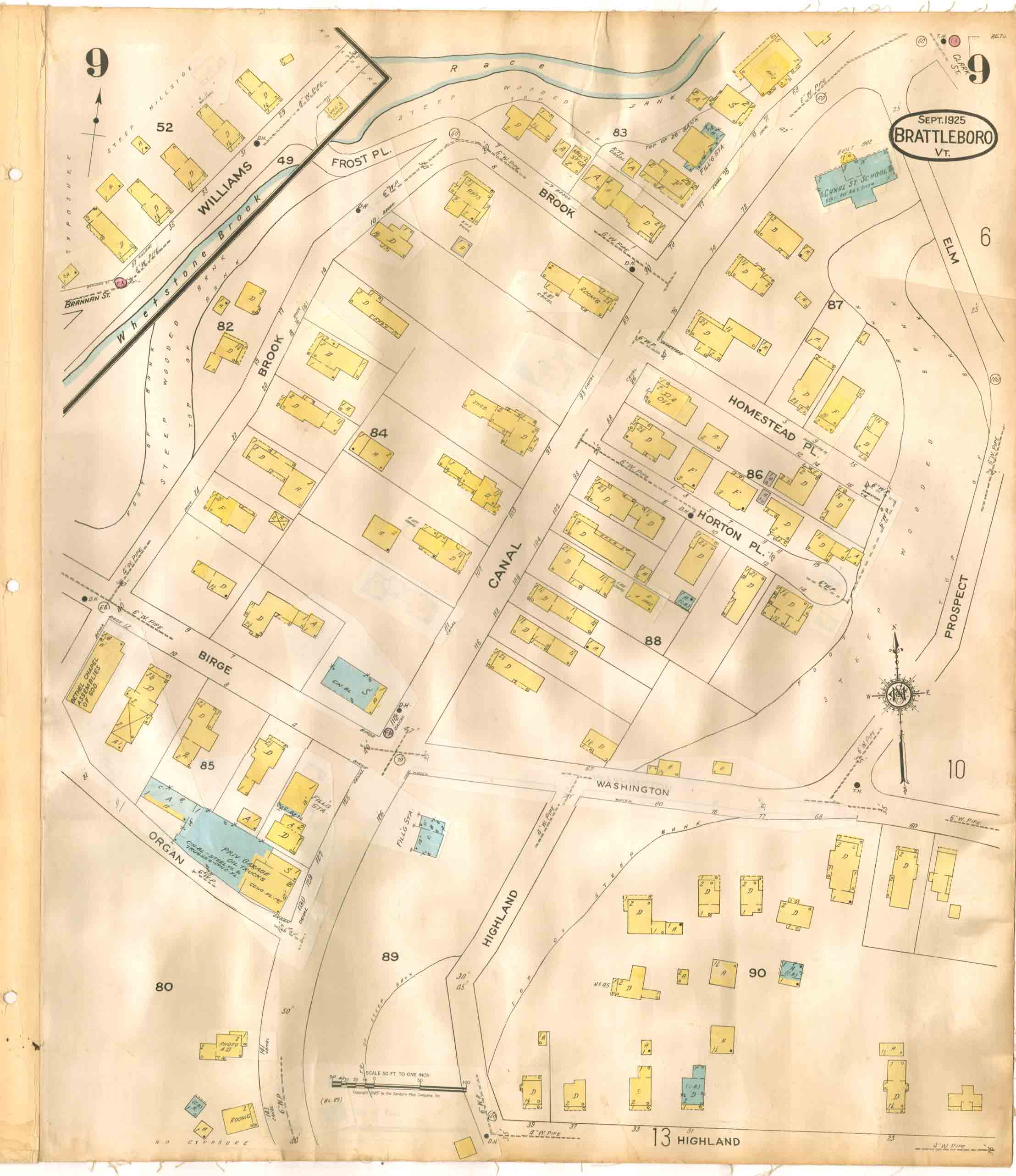
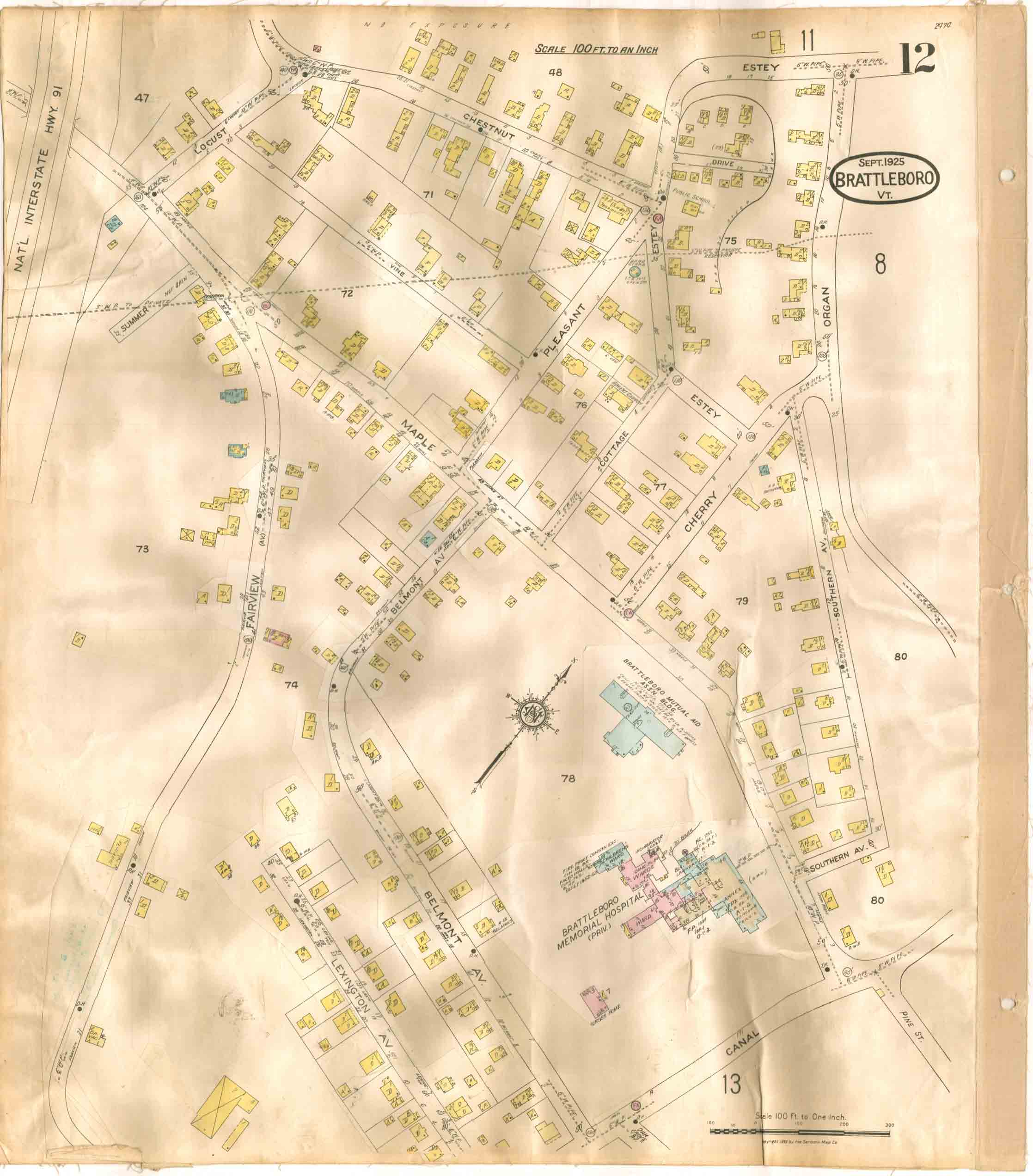
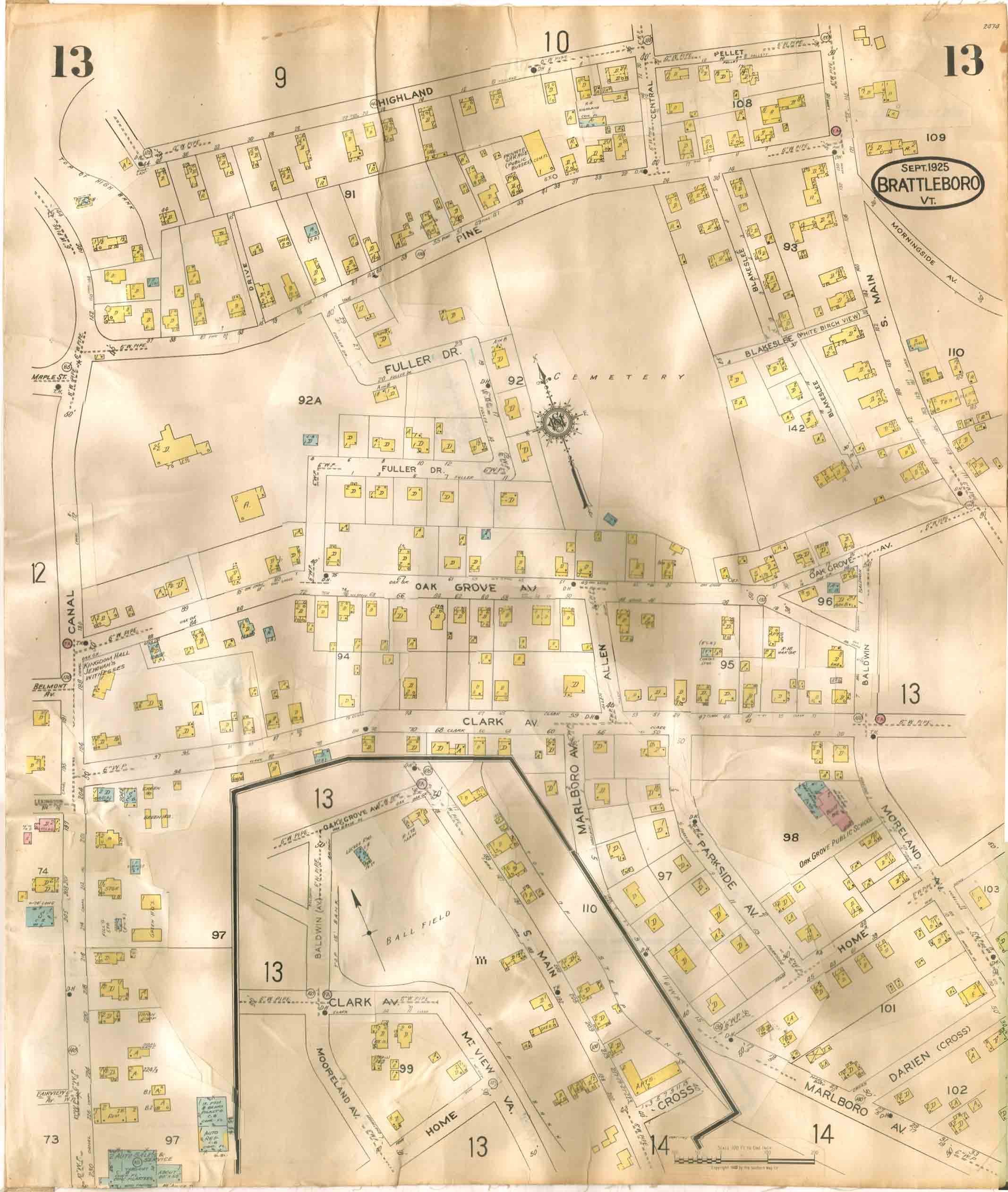
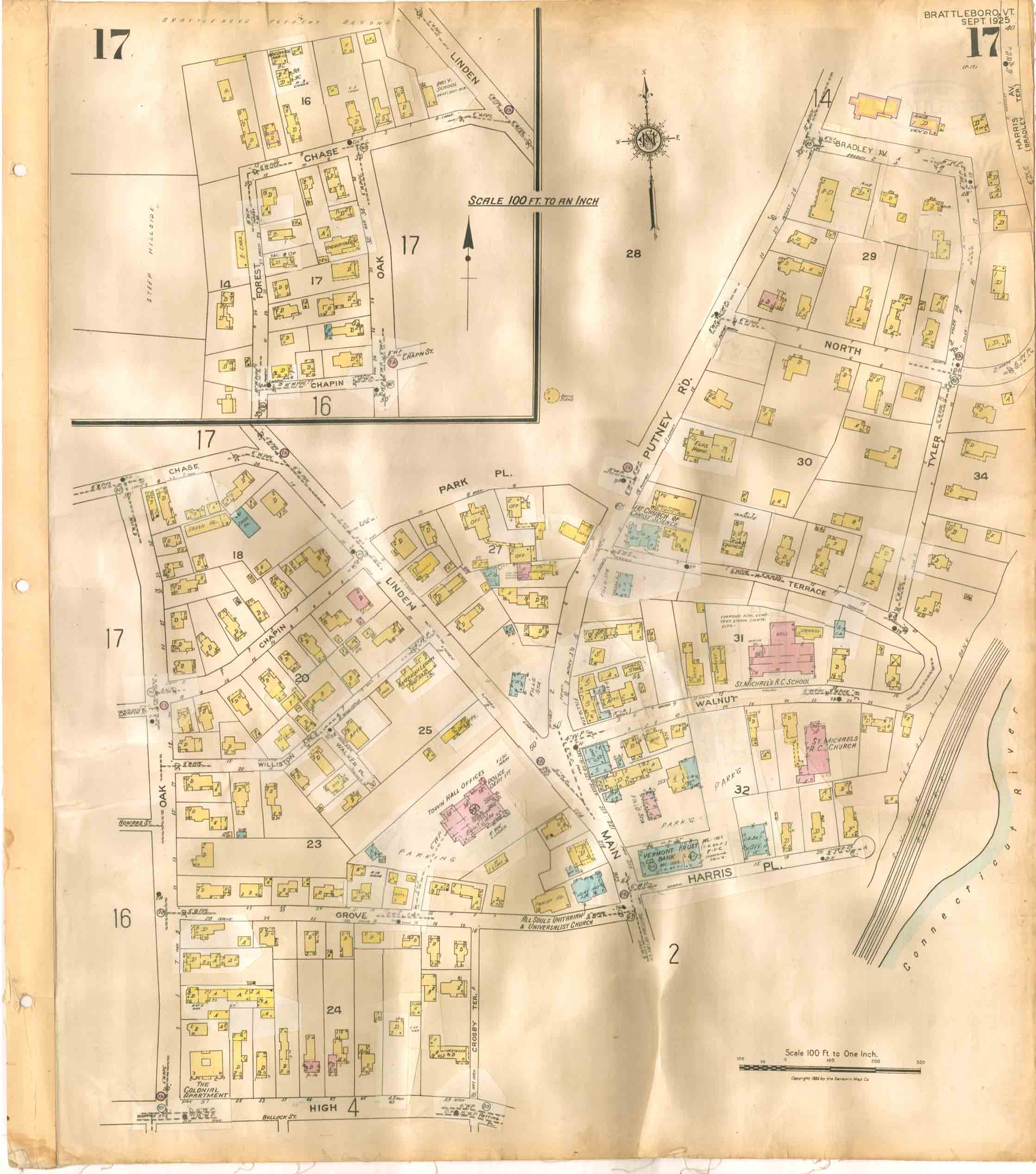
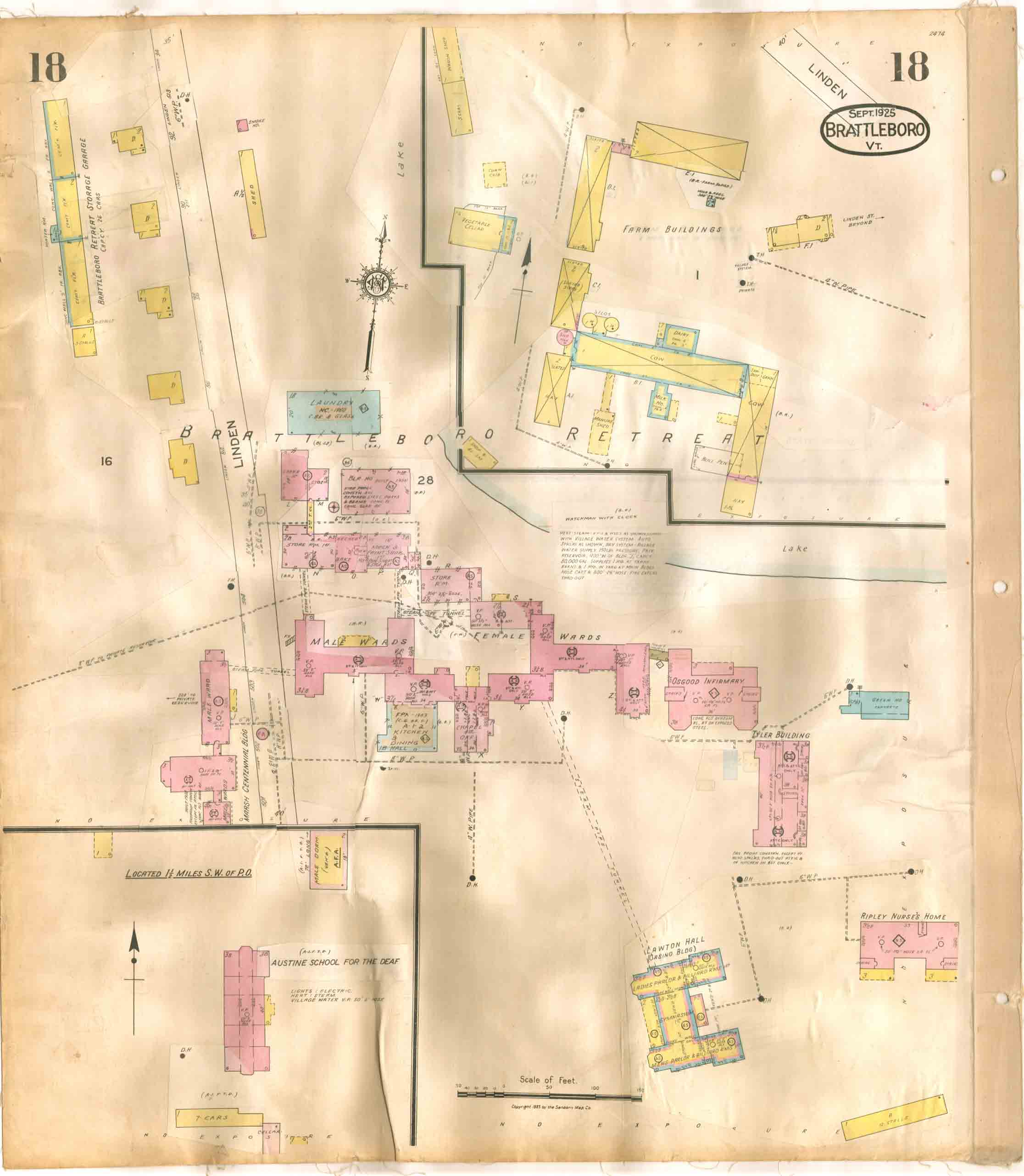
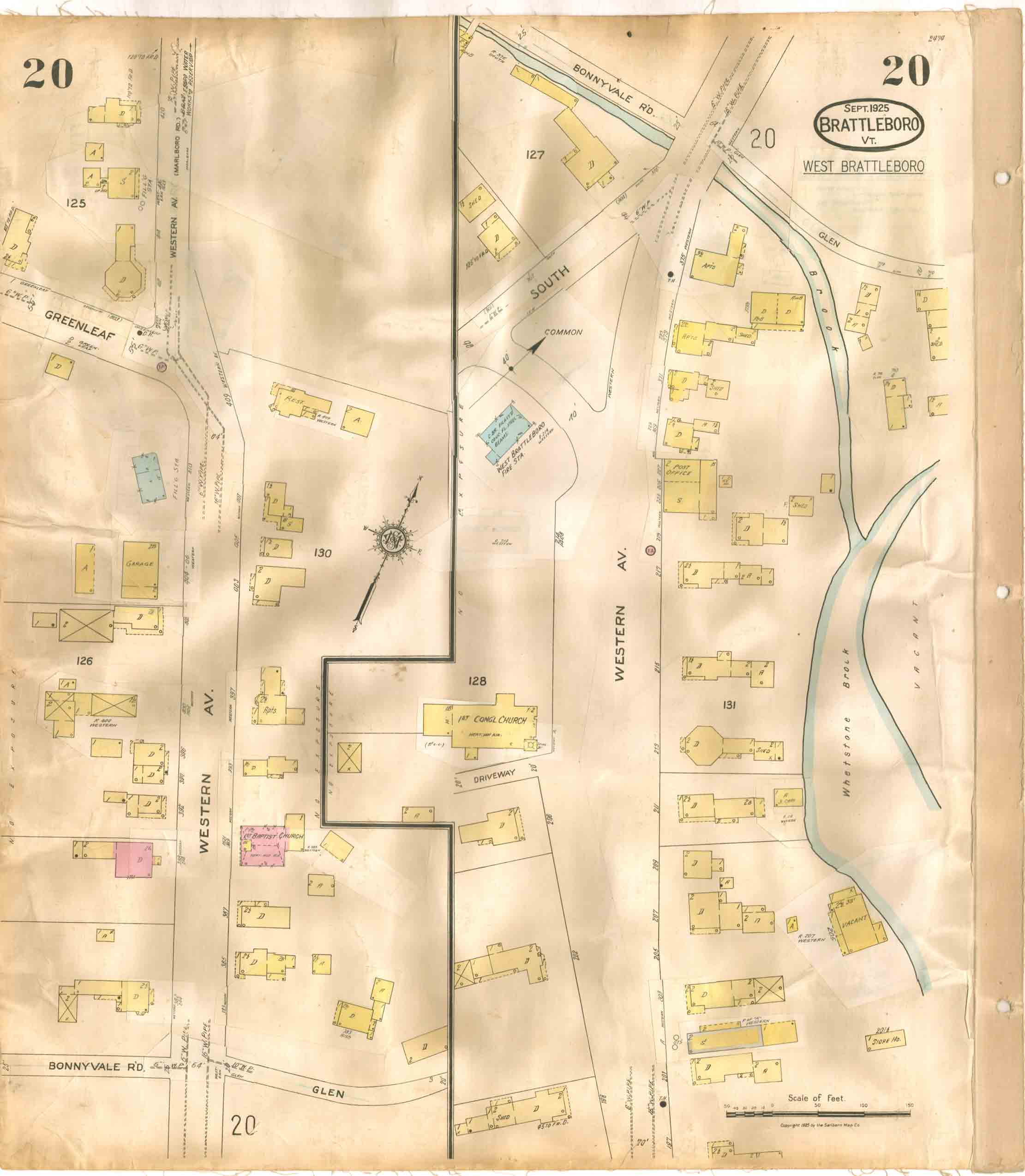
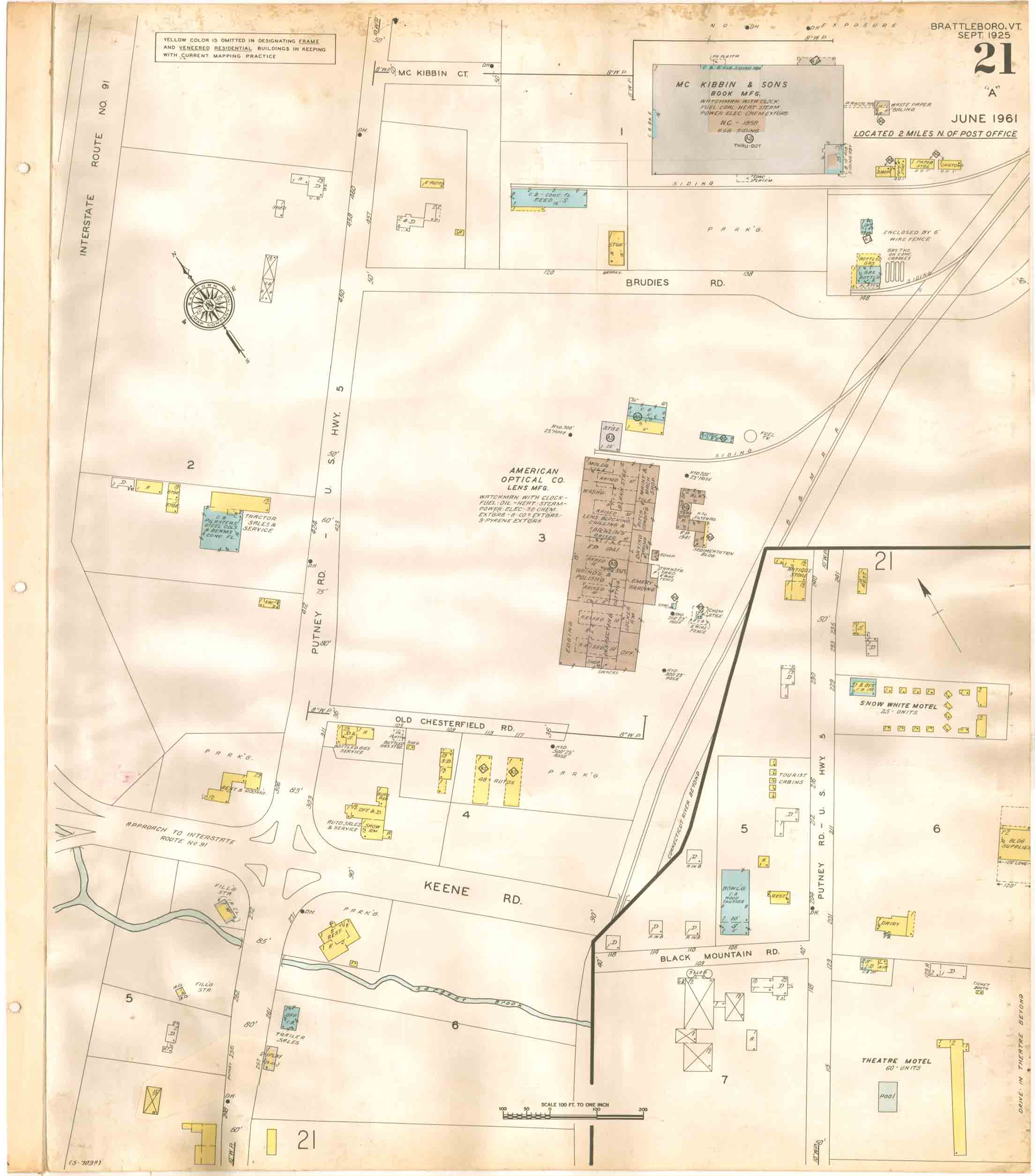
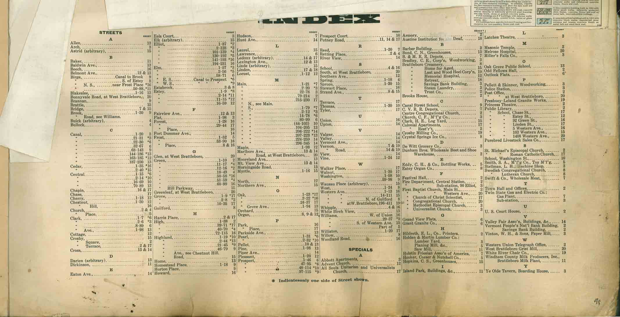
1925-1964 Brattleboro
Fire Insurance Maps
Click on an image to view and/or
download a map. To begin, find your site by looking at the
index map - the first map. You may want to print out a copy to make it
easier to find your way about the map sets. Fire insurance maps can be difficult
to peruse because of the way the sheets are laid out.
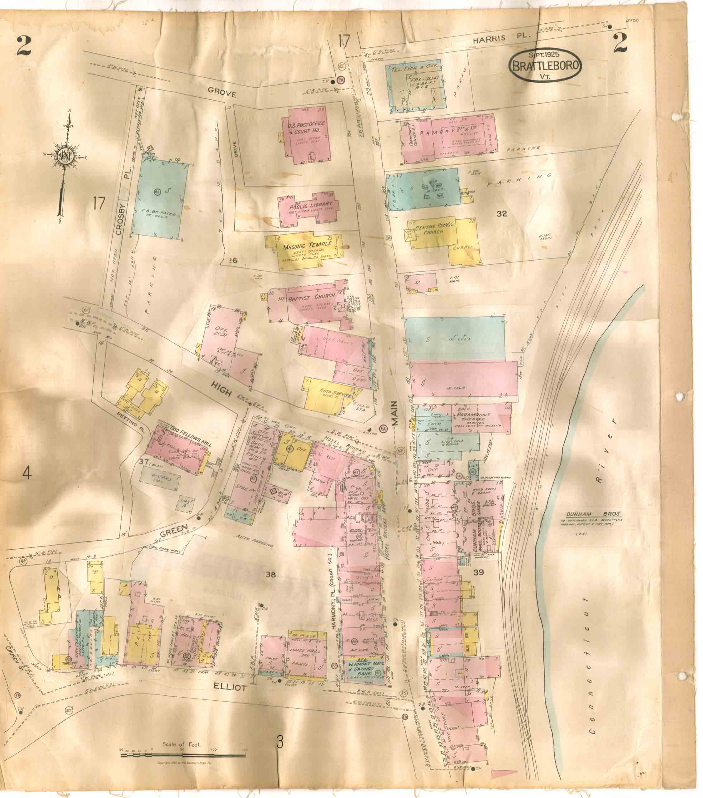
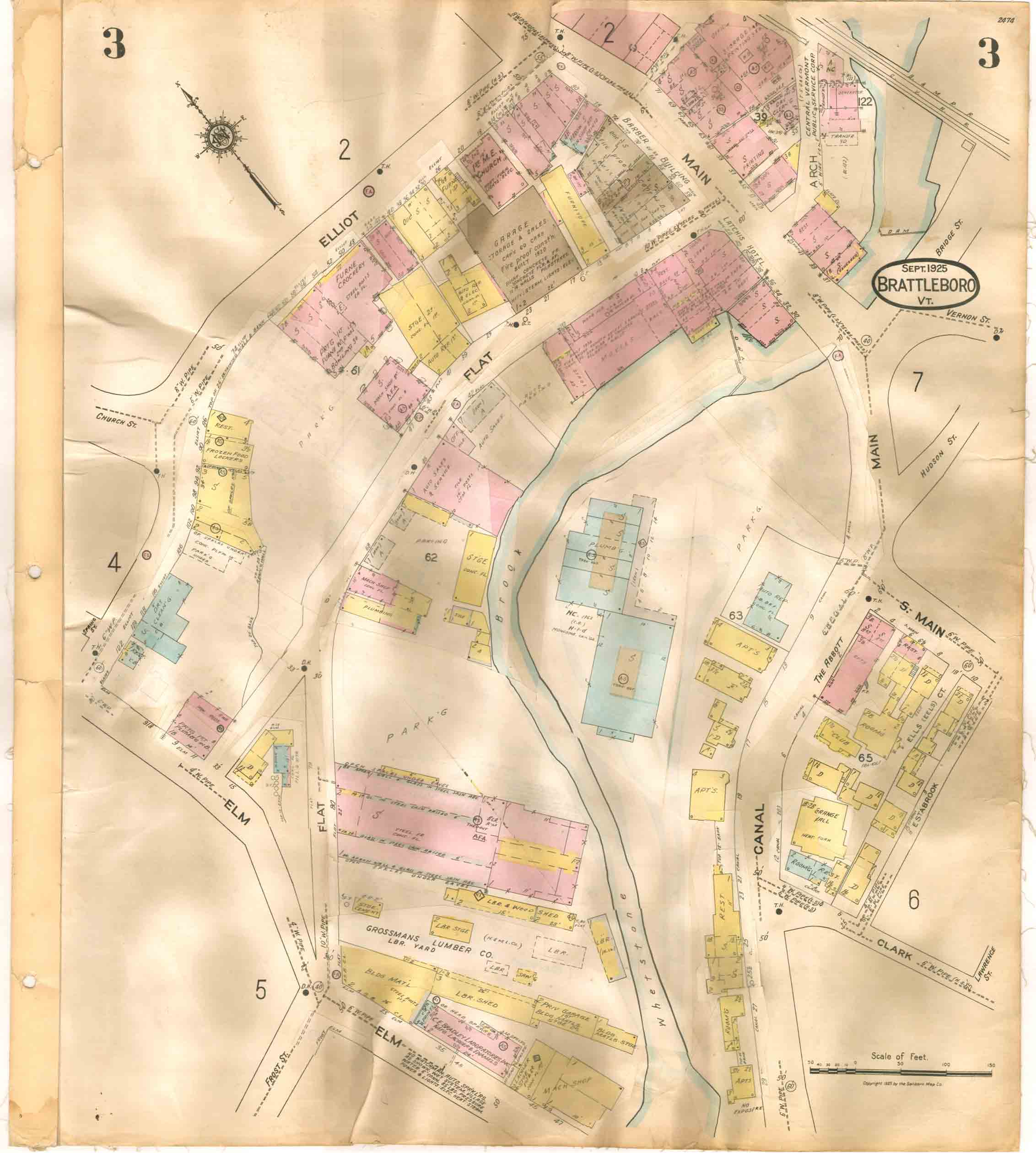
These maps have been reduced in size for easy web viewing. Better quality images
are available, see the main page for details.
--- This edition is labelled "1925-1964" because it is has elements from both
years. The original map set was issued in 1925, and then modified up to
1964. The later sections were pasted in on top of the 1925 base map - a standard
practice of the Sanborn Map Company.

brt_fir1925_64_00_lt.jpg

brt_fir1925_64_01_lt.jpg

brt_fir1925_64_02_lt.jpg

brt_fir1925_64_03_lt.jpg

brt_fir1925_64_04_lt.jpg

brt_fir1925_64_05_lt.jpg

brt_fir1925_64_06_lt.jpg

brt_fir1925_64_07_lt.jpg

brt_fir1925_64_08_lt.jpg

brt_fir1925_64_09_lt.jpg

brt_fir1925_64_10_lt.jpg

brt_fir1925_64_11_lt.jpg

brt_fir1925_64_12_lt.jpg

brt_fir1925_64_13_lt.jpg

brt_fir1925_64_14_lt.jpg

brt_fir1925_64_15_lt.jpg

brt_fir1925_64_16_lt.jpg

brt_fir1925_64_17_lt.jpg

brt_fir1925_64_18_lt.jpg

brt_fir1925_64_19_lt.jpg

brt_fir1925_64_20_lt.jpg

brt_fir1925_64_21_lt.jpg

brt_fir1925_64_index.jpg