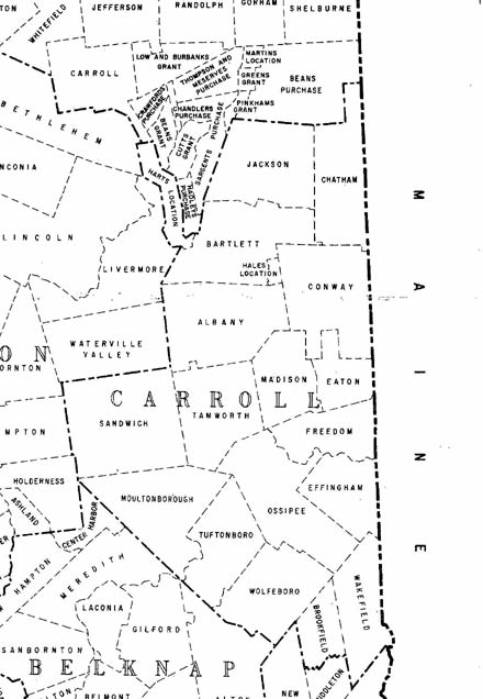
Old-Maps

Vermont
Massachusetts
New Hampshire
Maine
Connecticut
New York
Rhode Island
New England
About Us
News Coverage
Contact Us
Order Form
FAQ

New Hampshire:
Bird's Eye Views
State Maps
Counties:
Belknap
Carroll
Cheshire
Coos
Grafton
Hillsboro
Merrimack
Rockingham
Strafford
Sullivan


Carroll County Maps
Most of our maps are on a CDROM collection.
Individual town maps can also purchased separately as Custom Prints.

Town / County Maps

1) 1861 County Wall Map on CDROM
      every road & house (names)
Free downloads of 1892 maps of all towns


Carroll County Towns
If your town is linked below there are special prints available, in addition to the custom prints we offer from the county maps.

Albany
Bartlett
Brookfield
Chatham
Conway
Eaton
Effingham
Freedom
Hale's Location
Hart's Location
Jackson
Madison
Moultonborough
Ossipee
Sandwich
Tamworth
Tuftonborough
Wakefield
Wolfeborough

Early State Maps

These New Hampshire State maps provide additional town and county detail.

1) 1761 Blanchard & Langdon
2) 1784 Holland Map
3) 1816 Carrigain map


Revised: 12/07/09
Copyright © 2009 [Old Maps]. All rights reserved.