Old Maps of New York
County Wall Maps, State Maps, Bird's Eye Views, Nautical Charts, Atlases
New for 2018:
1)
Custom Topographic Maps of New York
2)
Maps of the Adirondack Region of New York
3)
CD reproductions
of 45 1850s County Wall Maps
4) 1000s of
Town and Village Maps
from the Wall Maps
1800s County Wall Maps
Not sure which county your town is in?
See:
NY Town/County Index
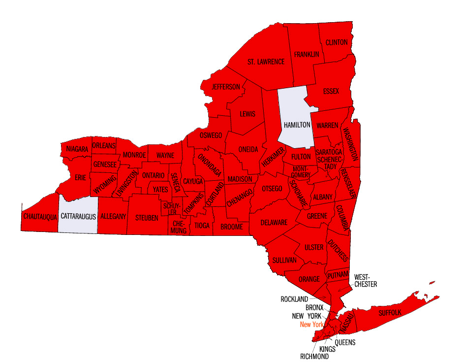
We have detailed maps for the counties which are shaded red. click to enlarge image.
NY County Atlases
New York City
New York City Area
NY Lakes
Long Island Maps
Nautical Charts of New York
NY State Maps
Bird's Eye Views
1829 Burr Atlas of the State of New York
Charming old county maps
NY USGS Quads
Non-NYC City Maps
Maps of several other NY Cites:
Saratoga, Syracuse, and others!
Also, we offer a collection of unique
Custom Topographic Maps of New York
.
and a collection of
Other County Maps of New York
Revised:Revised: 04/18/18
Copyright © 2005 [Old Maps]. All rights reserved.