|
Old Topographical Maps of Washington D.C.
Close-up Detail
of Changes through Time
In Northeast Washington and Prince Georges County
Home DC
Topo Maps
Closeup-Pentagon
|
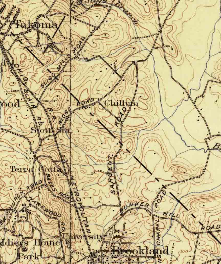
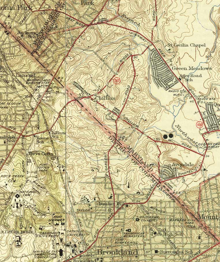
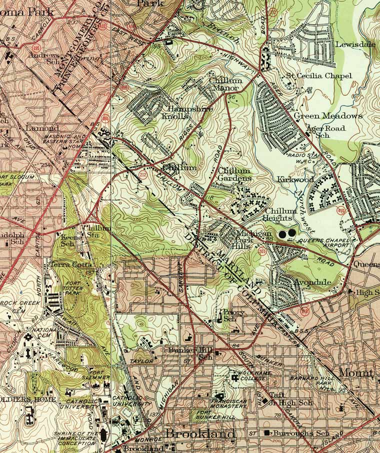
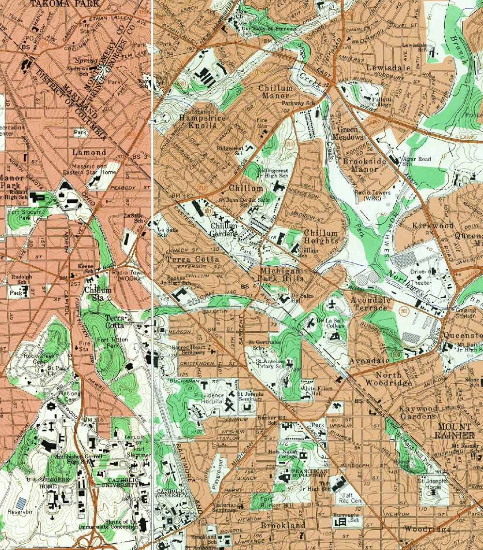
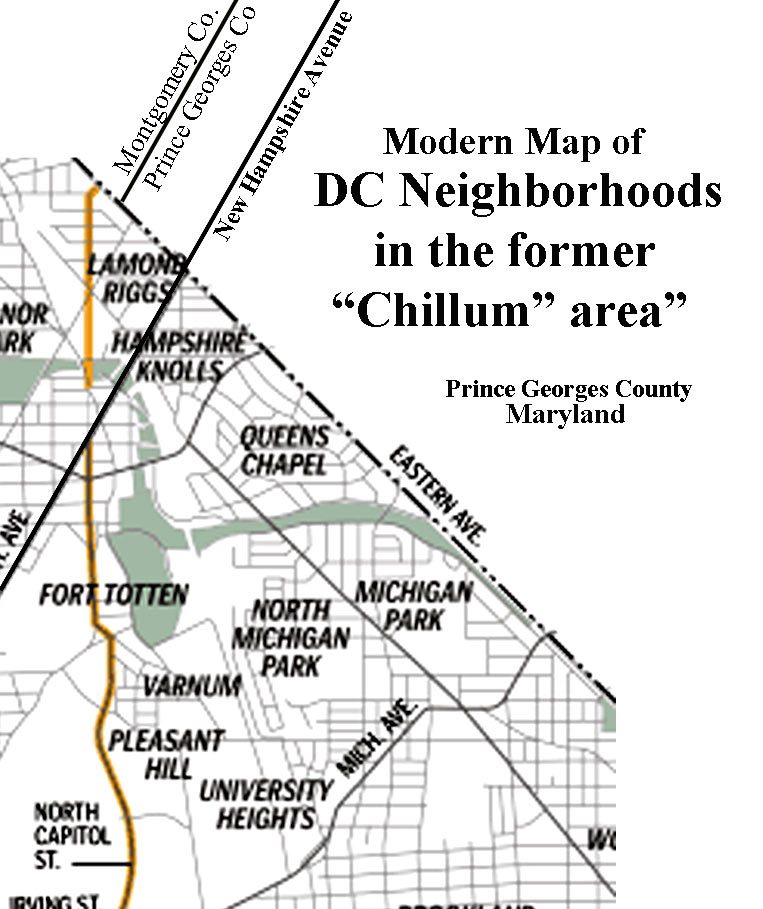
The former "Chillum" area, rural and quiet in the early
1900s, developed rapidly in the decades after World War
II. These maps sections tell us that most of the
activity happened between 1945-1956. |
 |
 |
 |
| 1908 |
1945 |
1951 |
| |
|
|
 |
 |
 |
1956
|
1965 |
|
| |
|
|
|
|
|
|
| |
|
|
|


