Old-Maps


Coos County Maps
Most of our maps are on a CDROM collection.
Individual town maps can also purchased separately as Custom Prints.

1861 County Map
Old Map of Coos Co NH, 1861 Wall Map Old Maps of Coos Co NH, 1861 Old Maps of Coos Co NH, 1861
Wall Map CDROM Town Prints

Single Town Maps

1861 Town Prints (From the County Wall Map)
1892 maps of all towns - free downloads

If your town is linked below there are additional publications available.

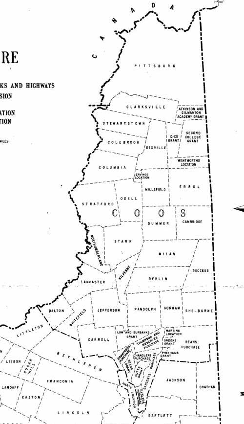
Atkinson & Gilmanton Academy Grant
Bean’s Purchase
Berlin
Cambridge
Carroll
Clarksville
Colebrook
Columbia
Dalton
Dartmouth College Grant
Dixville
Dummer
Errol
Ervin’s Location
Goffstown
Gorham
Green’s Grant
Jefferson
Kilkenny
Lancaster
Low and Burbank’s Grant
Martin’s Grant
Milan
Millsfield
Nash and Sawyer’s Location
Northumberland
Odell
Pinkham’s Grant
Pittsburg
Randolph
Shelburne
Stark
State Land (Not Granted)
Stewartstown
Stratford
Success
Wentworth’s Location, Et Al
Whitefield
White Mountain Grants
Outline Map of Coos Co NH

County/Town
Collections, etc.

1861 County Wall Map on CDROM or Paper Reprint
      every road & house (names)

County Prints from the 1816 Carrigain State Map

State Maps

These New Hampshire State maps provide additional town and county detail.

1) 1761 Blanchard & Langdon
2) 1784 Holland Map
3) 1816 Carrigain map

State Maps Page


Vermont
New Hampshire
Massachusetts
Maine
Connecticut
Rhode Island
New England

New York
New Jersey
Pennsylvania
Delaware
Maryland
Washington DC
Virginia


Background
News Coverage
Contact Us
Order Form
FAQ


Revised: 06/19/17
Copyright © 2009 [Old Maps]. All rights reserved.