Vermont:
State Maps
Counties:
Addison
Bennington
Caledonia
Chittenden
Franklin & Grand Isle
Orleans
Lamoille
Essex
Orange
Rutland
Washington
Windham
Windsor
Town/County Index
Bookstores
Press Releases
Articles/Research |
|
|
VT
State Maps
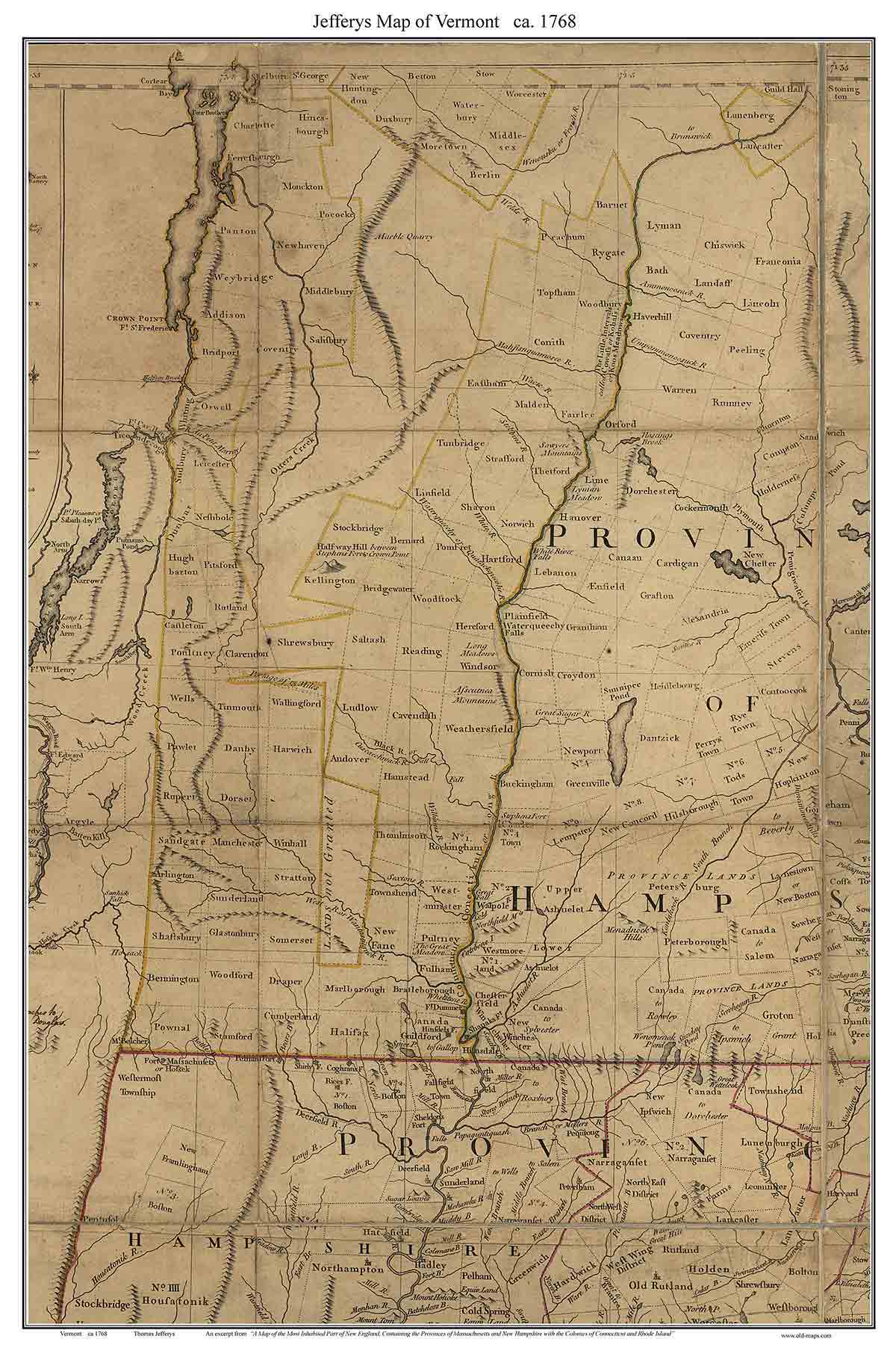
Jeffrys Map of
Vermont 1768
SOME WORDS |
| Home
Colonial State Maps |
Click here to purchase this VT State Map |
 |
 |
 |
Click on the map above to see a more detailed copy.
Original size: 24" x 36" |
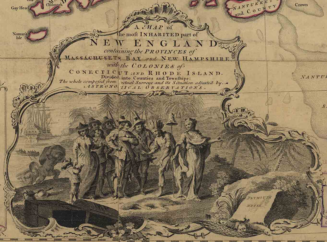
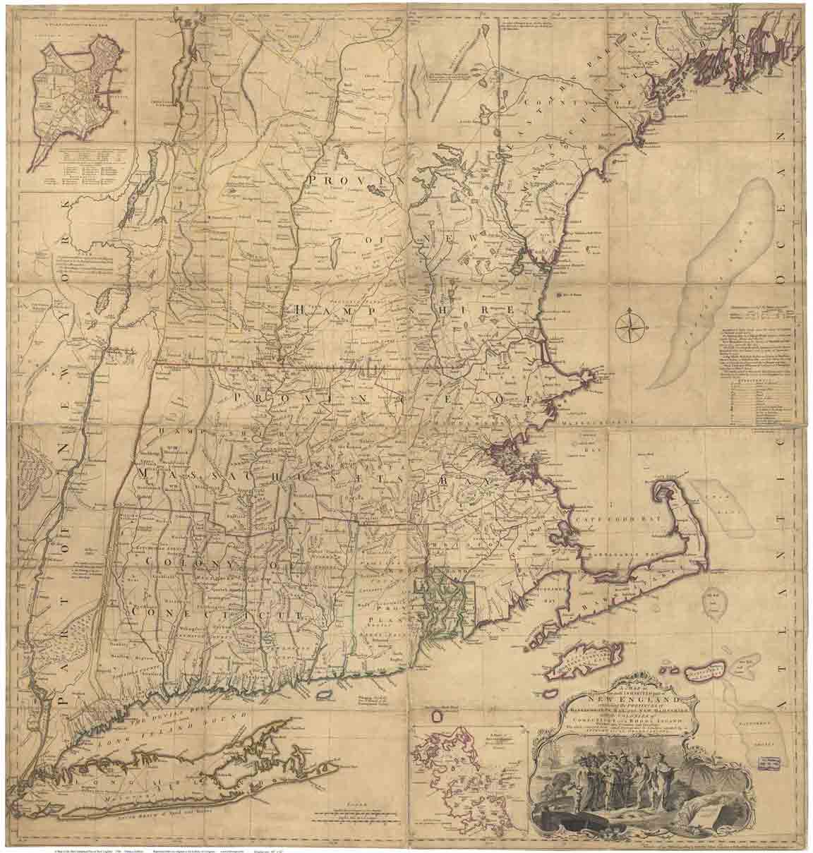
The much larger map of New England |
 |
|
People travelled by water at this time, except where they had to
portage over the mountains, as shown here between Ludlow and
Clarendon. |
| |
 |
. |
| "Canada to Gallup" etc, refers to a
Massachusetts land grant, |
Killington Peak was one of the few mountains
named on the 1768 map. |
| |
|
|
|