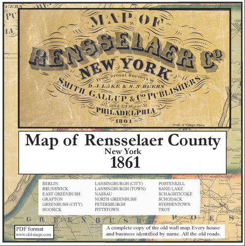
The 1861
"Map of Rensselaer County, New York" is now available as a
reproduction. The original map (a large wall map) was the first
complete view of who lived where in the 16 towns of Rensselaer County.
1000s of sites - homes, schools, churches and businesses- are located
and named. All maps and data on the original have been scanned for this
reproduction.
The map is available both as a wall map and as a CDROM. The wall map
(the original format) comes in two sizes. For the CDROM the map has
been "taken apart" into into separate town and village maps.
|
|