Ashburnham
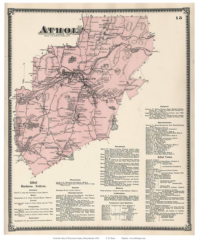
Athol
Auburn
Barre
Berlin
Blackstone
Bolton
Boylston
Brookfield
Charlton
Clinton
Dana
Douglas
Dudley
East Brookfield
Fitchburg
|
Gardner
Grafton
Hardwick
Harvard
Holden
Hopedale
Hubbardston
Lancaster
Leicester
Leominster
Lunenburg
Mendon
Milford
Millbury
Millville
New Braintree |
North Brookfield
Northborough
Northbridge
Oakham
Oxford
Paxton
Petersham
Phillipston
Princeton
Royalston
Rutland
Shrewsbury
Southborough
Southbridge
Spencer
|
Sterling
Sturbridge
Sutton
Templeton
Upton
Uxbridge
Warren
Webster
West Boylston
West Brookfield
Westborough
Westminster
Winchendon
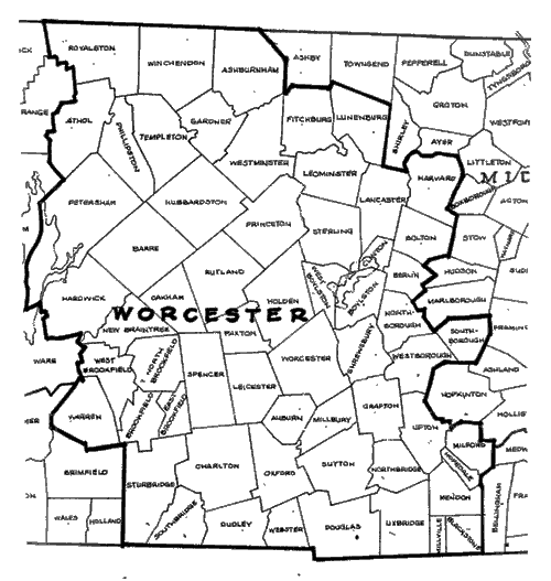
Worcester |