Old-Maps

Vermont
Massachusetts
New Hampshire
Maine
Connecticut
New York
Rhode Island
New England
About Us
News Coverage
Contact Us
Order Form
FAQ

Masschusetts:
State Maps
Counties:
Barnstable, Dukes & Nantucket
Berkshire
Bristol
Essex
Franklin

Hampden
Hampshire
Middlesex
Norfolk
Suffolk
Plymouth
Worcester
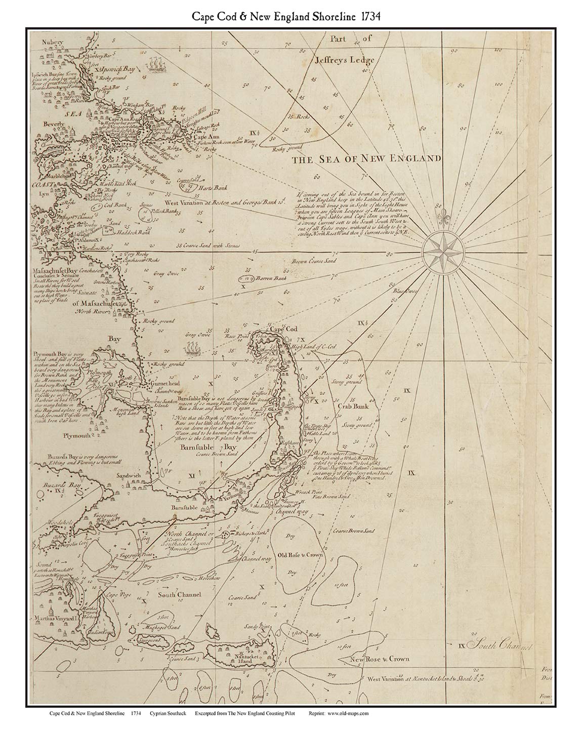
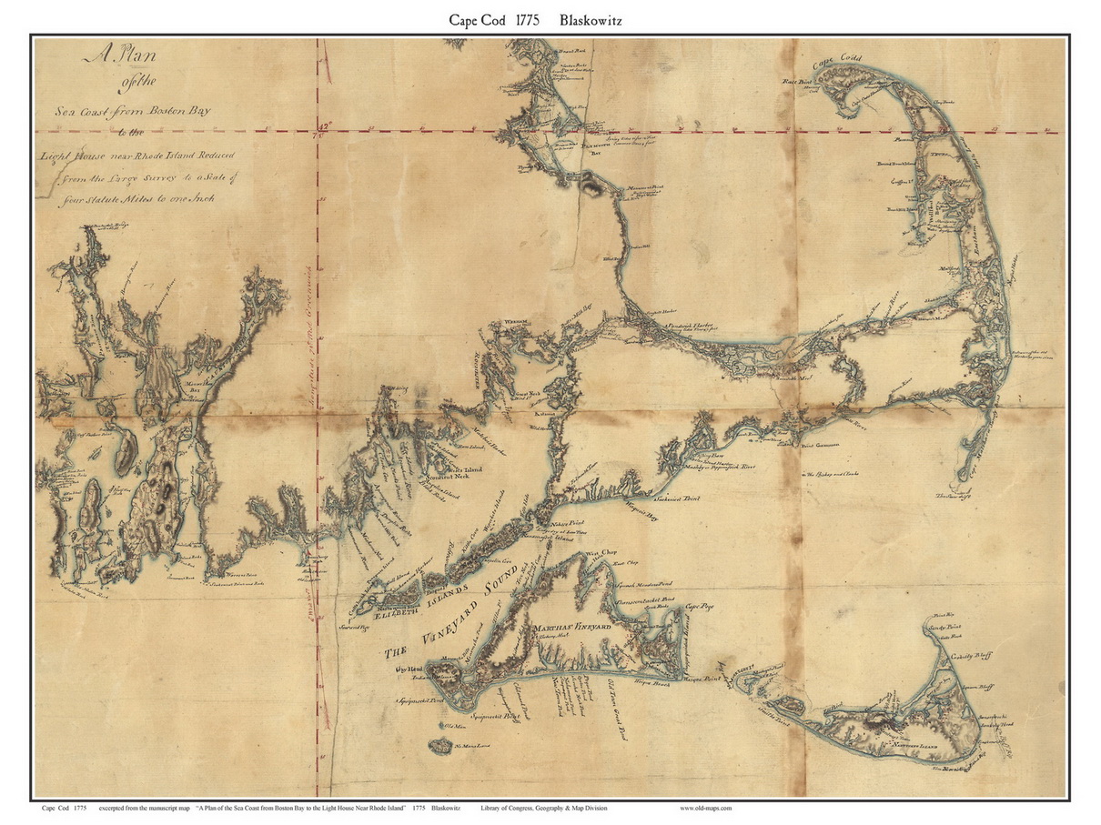
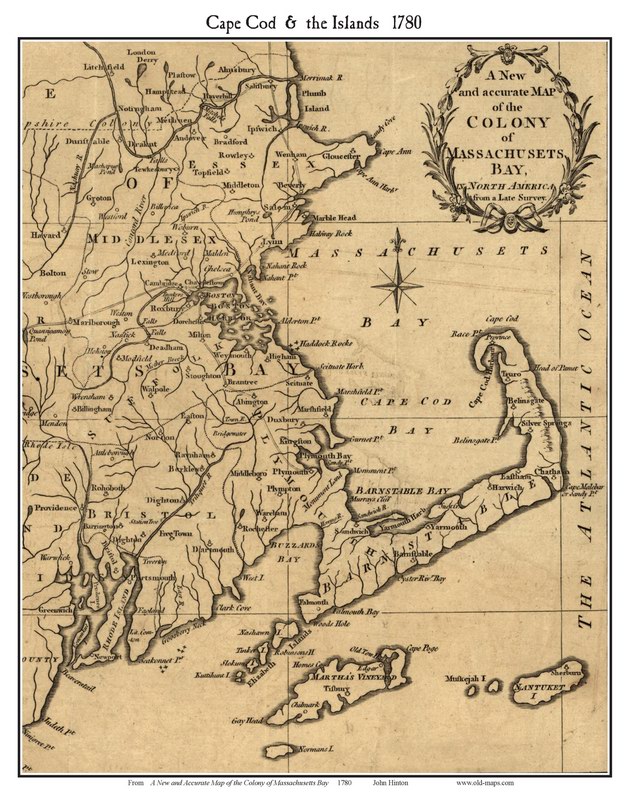
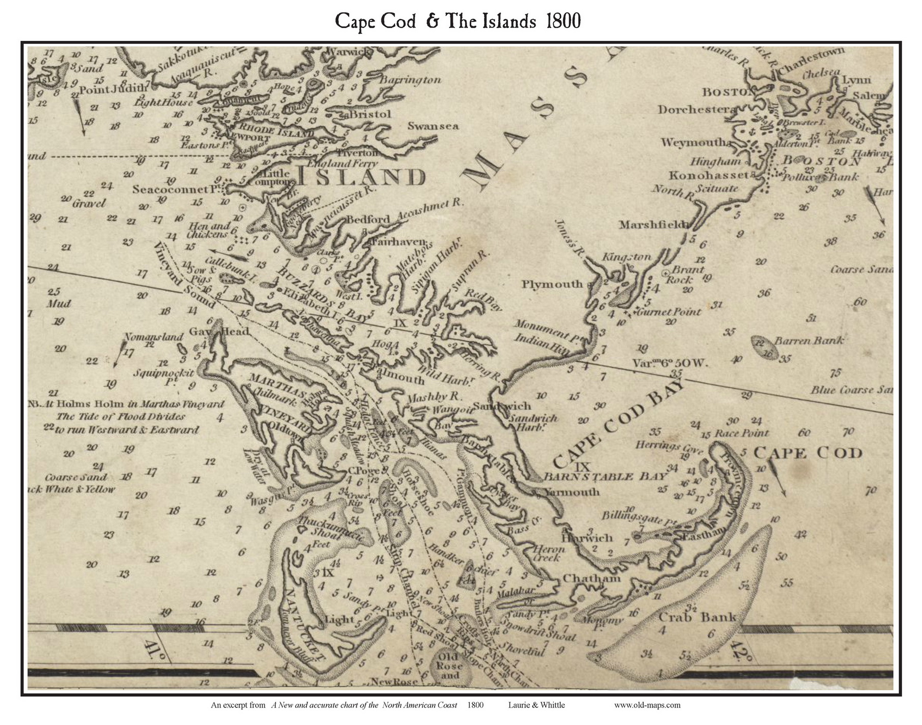
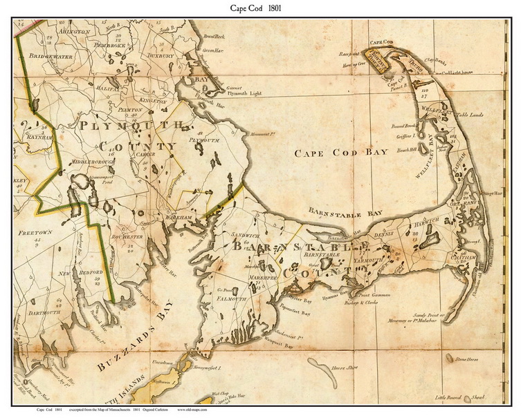
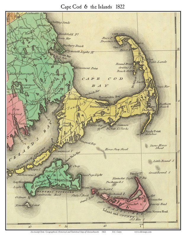
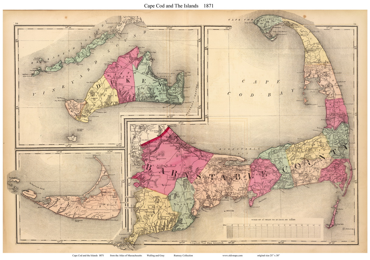
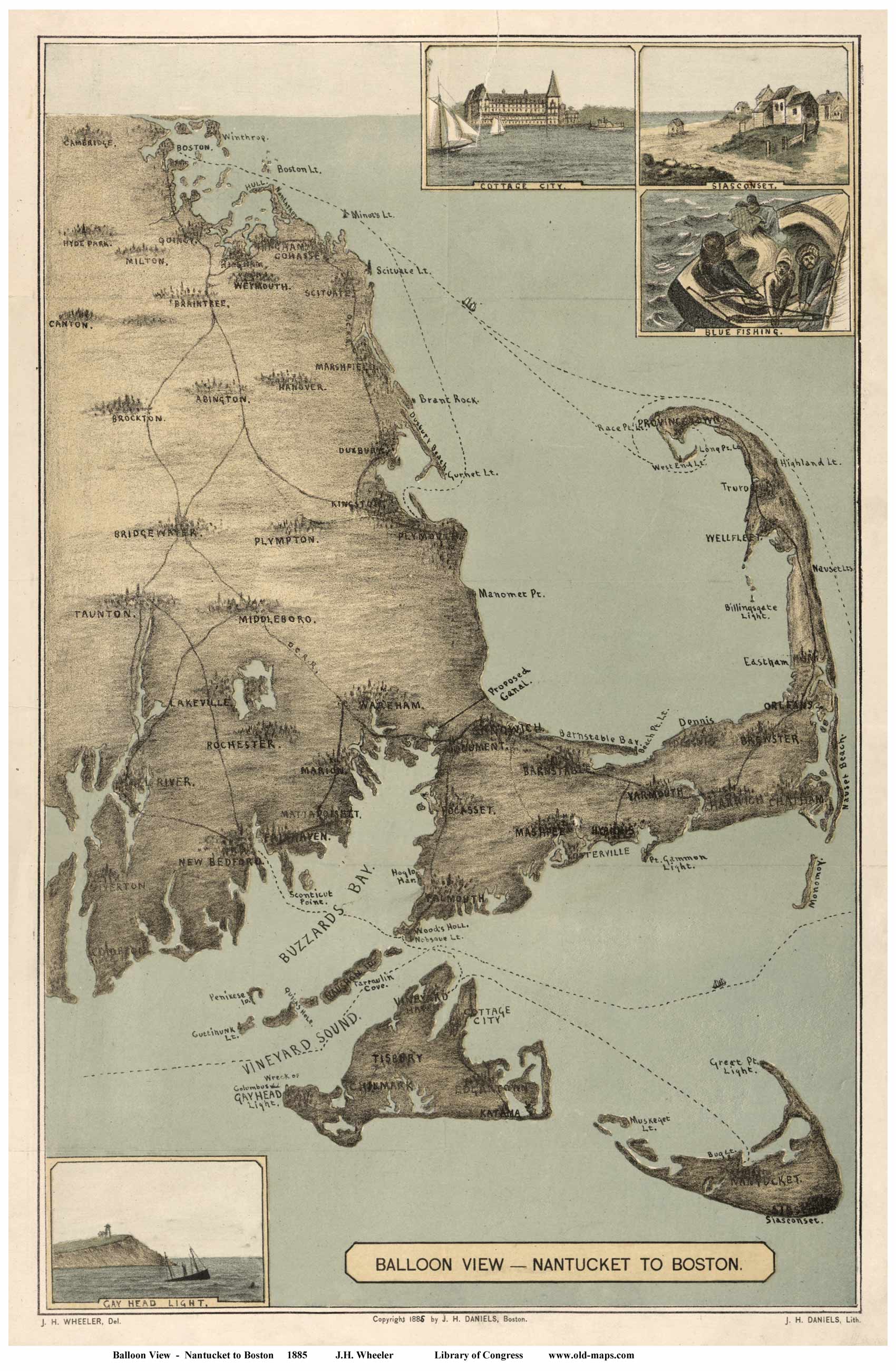
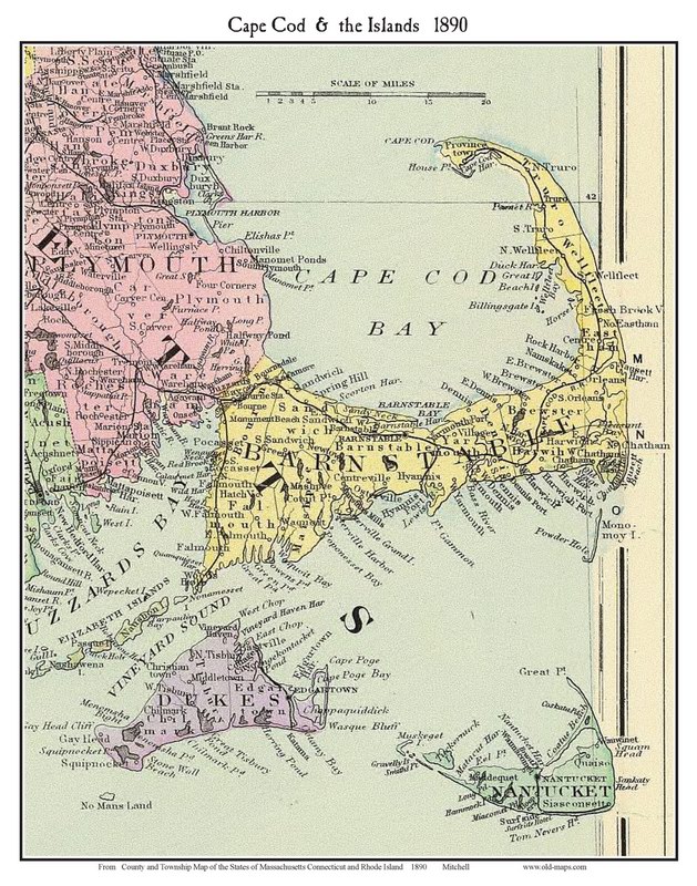


More Maps of Cape Cod
Nost of these maps look nice in 11"x14"   or  16" x 20" .
1780 Map of Cape Cod 1801 Carleton Map of Cape Cod 1822 Map of Cape Cod by Carey
1780  Hinton Map of Cape Cod & the Islands 1801 Carleton Map from the Map of Massachusetts by Osgood Carleton.  1822 Carey Map   Very nice early map
1856 Map of Cape Cod by Colton 1879 Map of Cape Cod by Williams 1890 Map of Cape Cod  Mitchell
1856 Colton map Shows railroad halfway out to Cape. 1879 Railroad & Township Map Shows ferry routes to islands. 1890 Mitchell Map  many villages and roads
Single Maps    $10 each  (11"x14" )    or   $20 each  (16"x20")      use order form below    
========================================================================
Credit Card Order for a 6-Pack of Cape Cod Maps:       $48.00, postpaid       (11" x14")
                      
1 each of the 6 maps above:  1780, 1801,1822, 1856, 1879 & 1890

Map shipped flat, Priority Mail


==  BELOW:     Single Map Order Form   ======================================

1) Add the map Year + Name to the text in first box below
2) Change the dollar amount if needed
3) "Add to Cart" to order by credit card

Item Name: 

(eg:  Cape Cod Map 18x24:  1801 Carleton )
Total Price ($) Including shipping:

($14 is for one small map map (with shipping), change to $28 for largel map)
Additional Description or instruction:

Prices
11"x14" (or 11x17)  Color Print -    $10 per map + $4 s/h
18"x24" (or 16x20)   Color Print -      $20 per map + $8 s/h

Large prints are shipped in a tube, Priority Mail. Small prints are shipped flat, 1st Class Mail

For more than one map, shipping is 1/2  extra ($2 or $4) for each additional map.
Contact us by email    or use the Special Order Form for multi-map orders  
For Old Topographic Maps of Cape Cod     click here
for 1844 Borden Map of Cape Cod     click here
for 1775 Blaskowitz Map of Cape Cod  click here


Revised: 06/11/11
Copyright © 2005 [Old Maps]. All rights reserved.