
1000s of Ohio Town & Village Maps now available!
Over 2,000 Ohio town and village maps from the 1800s are now available here at shop.old-maps.com. Great for genealogists and historians!

Each map has homeowner names, old roads and business locations. Who lived in your house 160 years ago?

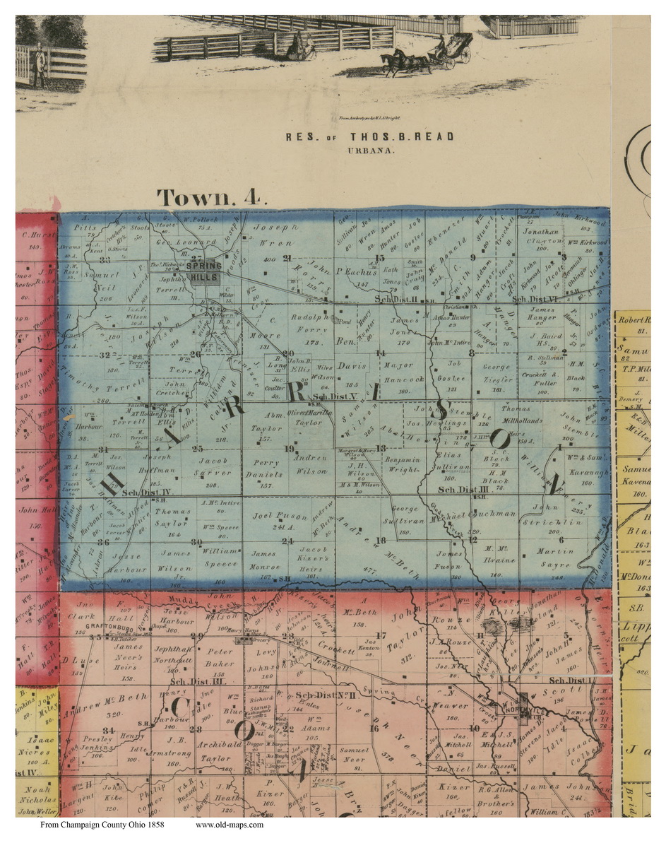
We have digitally“chopped” out the town sections from the old County wall maps of the 1850s and 1860s for 79 Ohio county maps.
Pictured below, the Champaign County 1858 map has 12 town maps, 9 village close ups and 11 pictures. The original county maps are huge – approximately 4 ft x 5 ft. My town extracts are close to 11”x 17” or 16”x 20”.
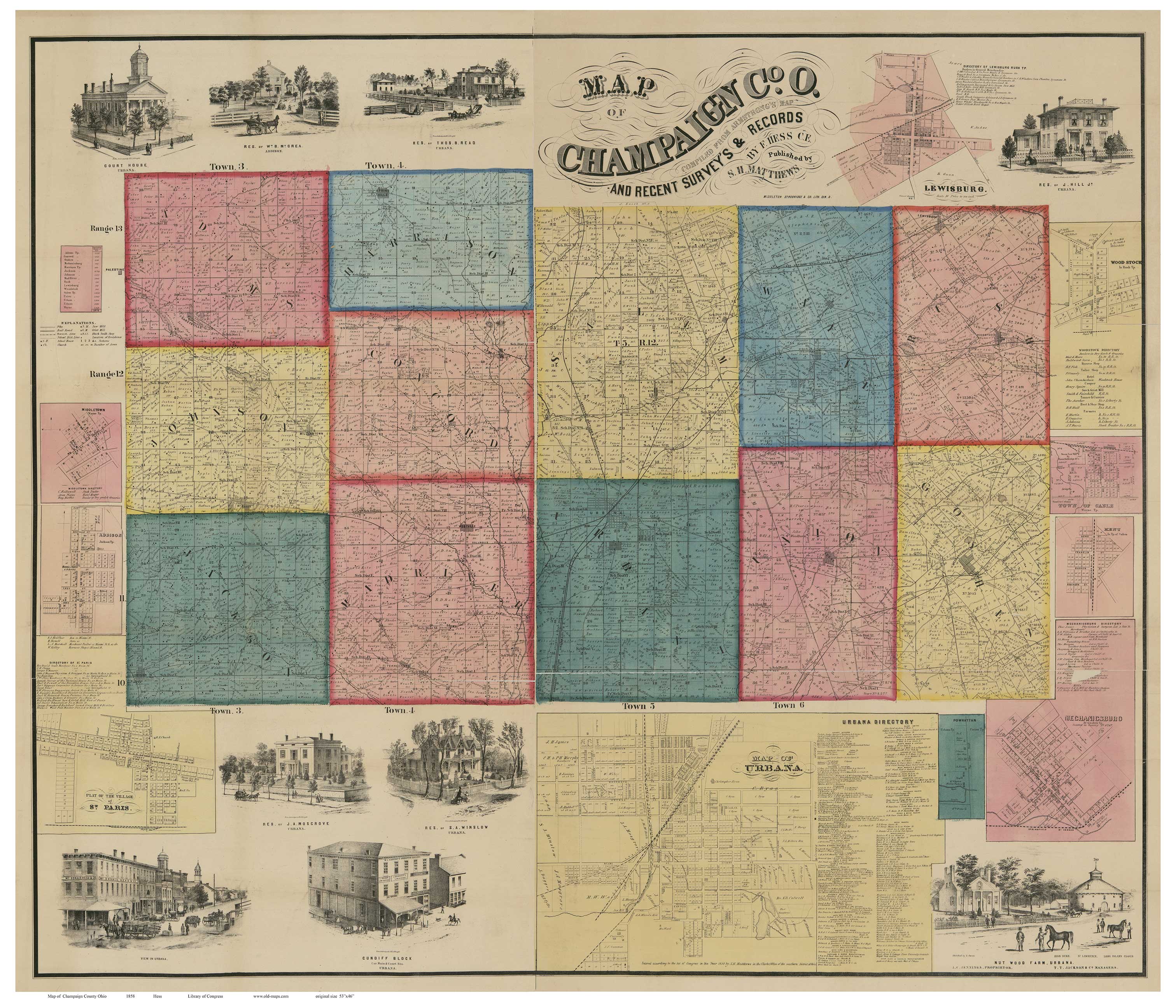
All are available for purchase, or for free viewing in low resolution.The lo-res images are not always legible because I don’t want to give away my work! But you can make out the names on most of the village maps. On the lo-res town maps you can see the house location but the owner’s name might be hard to read. If you purchase a print, the quality is fine. It’s easy to find your town map on my website with the search bar in the upper left corner. This is probably the first time this great genealogical resource has been made easily available. Please check these maps out here at shop.old-maps.com
When you get to the website, the Search Bar is in the upper left corner. Type the name of your town to see what we have!