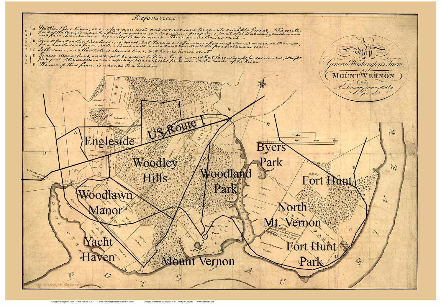
Newly added map of Mount Vernon Plantation in Virginia from 1793
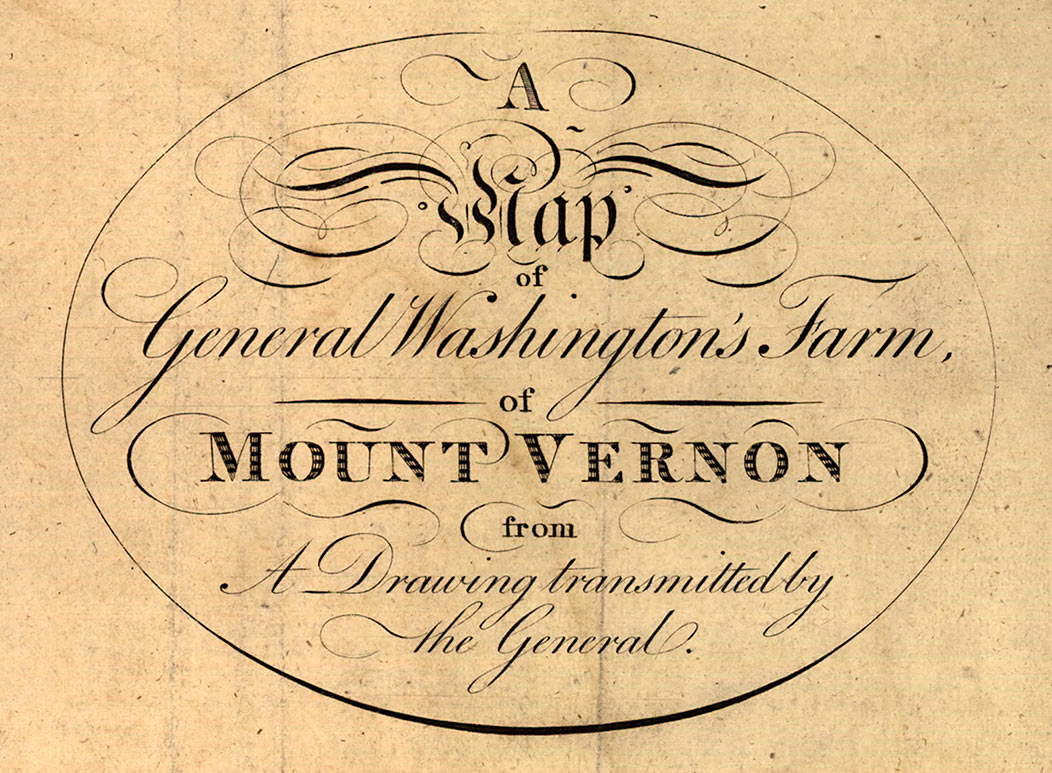
 A 1793 map of Mount Vernon – George Washington’s estate in Virginia – is online at the Library of Congress. For our “Old Maps” reprint we modified the margins to make it look a little neater – but left the map proper intact. What a beautiful map this is!
Mount Vernon itself is on “The Mansion House Farm”.

Here we see the outlines of farm fields and their use, such as “Meadow”, “Clover Lot”, and “Inclosure”.
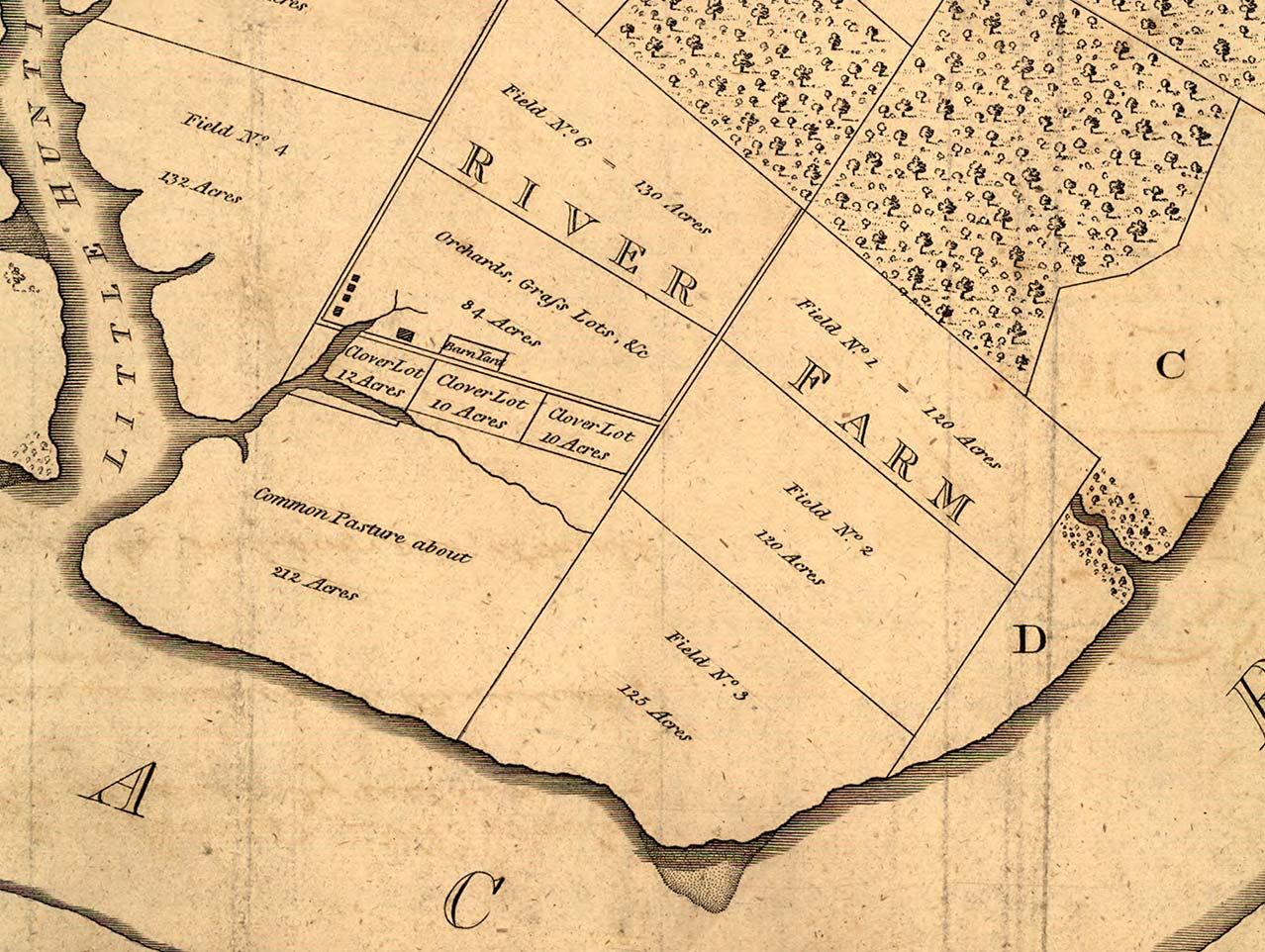
The References at the top of the map describe the different farm fields. Field D, which is described as “affording pleasant sites for houses”, now has many houses built on it!


This map covers several 1000 acres – much more than the present Mount Vernon Plantation site. Hundreds of streets on modern Alexandria now course through the old Washington Farm.
The map of Mount Vernon is available to purchase from our Etsy store here.