Washington D.C. Maps
New to our website in addition to the birds eye views of D.C., we have maps of D.C. and the surrounding area.
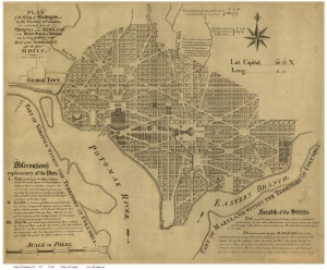
This 1792 map published by Hill entitled “Plan of the City of Washington” shows the street layout of the city in its early development. You can see the U.S. capital and the “President’s House”.

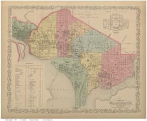
This 1859 map by Mitchell titled “City of Washington” has some great color illustrating the different districts within the city. The Smithsonian has popped up as well as the Washington Monument. Also in the upper right hand corner is the 1st floor plan of the capital building.

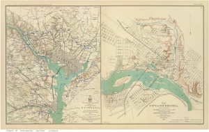
This last map includes D.C. and its surrounding as well as Richmond city. This map was prepared by the War Department in 1895 and illustrates in blue, the location of Union military installations. Also the roads highlighted in blue were used for military purposes.

There are plenty more maps of Washington D.C. to view on our website. Just click the link and you’re there. http://www.old-maps.com/DC_MapsMain.htm