Charlevoix – Cheboygan Michigan Old Maps
Maps for retail sale in clear plastic sleeves with a stiff cardboard backing. Large sizes in tubes with a label.
First … our Lake Maps

Northern Michigan Lake maps index old-maps.com
Click a map below to see the store page to view larger image. We have many more maps than these, but only a few are shown here to keep it simple.. ….
At the store page click on Click to view a large version of this print to see larger view.

Black Lake 1986 orig size 20 x 25
11×14 $25 (text small)
16×20 $35
24×30 $53 (in tube)

Burt Lake 1982 orig size 24 x 36
11×17 $25 (text small)
16×24 $35
24×36 $53 (in tube)

Crooked Lake & Pickerel Lake 1982 orig size 12 x 18
11×187 $25 (text small)
16×24 $35
24×36 $53 (in tube)

Douglas Lake 1982 orig size 12 x 15
11×14 $25 (text small)
16×20 $35
24×30 $53 (in tube)
Inland Waterway (Petoskey to Cheboygan) 1957 orig size 25 x 31
11×14 $25 (text small)
16×20 $35 (text small
24×30 $53 (in tube)
29×36 $65 (in tube)

More Lakes

Inland Waterway & Cheboygan Harbor 1915 – LARGE MA:P orig size 36×48
16×24 $35 text very small – in sleeve
24×36 $53 text small in tube
27×36 $65 in tube
36×48 $95 in tube
Th

Burt Lake 1915 orig size 16 x 20
11×14 $25 (Text small)
16×20 $35
24×30 $53

Mullet Lake 1915 orig size 16 x 20
11×14 $25 (Text small)
16×20 $35
24×30 $53
============================================
Charlevoix

Lake Charlevoix 1982 nautical orig size 33 x 36
11×14 $25 (text small)
18×20 $35
24×27 $53 (in tube)

Charlevoix Harbor 1904 nautical orig size 21 x 26
11×14 $25 (text small)
16×20 $35
24×30 $53 (in tube)

Charlevoix & Antrim Counties 1873 orig size 17×21
11×14 $25
16×20 $35
24×30 $53 (in tube)
Cheboygan

Cheboygan Harbor Custom Chart orig size 20×25
11×14 $25 small text
16×20 $35
24×30 $35 in tube
**** This Cheboygan Harbor map is a custom designed map created by Old Maps****
===========================================
Nearby Counties

Emmet County 1873 (Petoskey) orig size 17×21
11×14 $25
16×20 $35
24×30 $53 (in tube

Presque Isle County 1873 orig size 17×21
11×14 $25
16×20 $35
24×30 $53 (in tube
FIre Insurance Index Maps
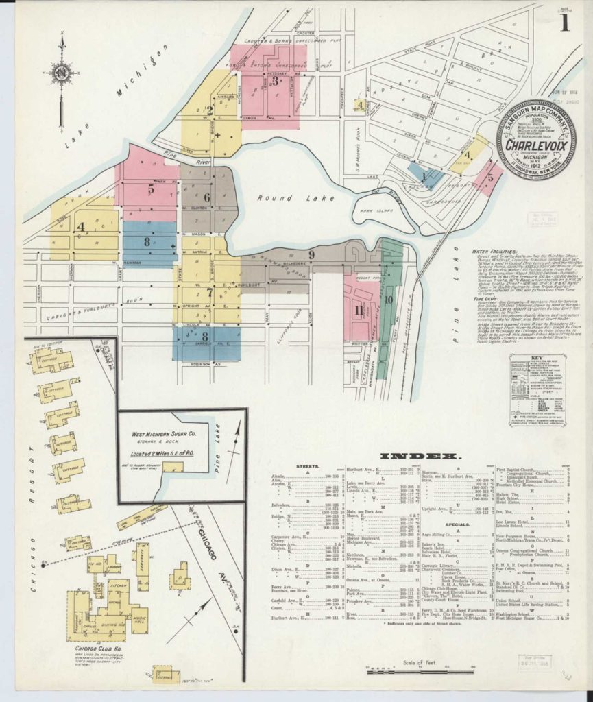
Charlevoix 1912 Fire Insurance Index Map
11 x 14 $25 (text small)
18×21 $35
24×28 $53
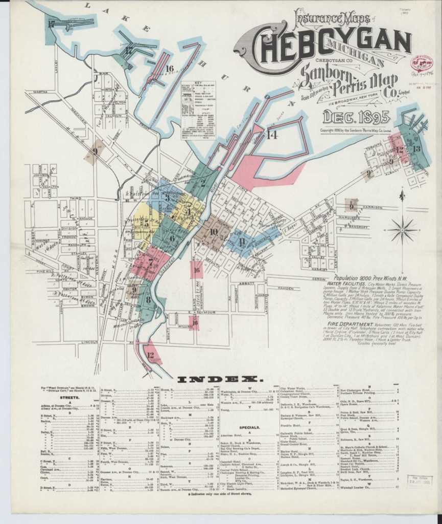
Cheboygan 1895 Fire Insurance Index Map
11 x 14 $25 (text small)
18×21 $35
24×28 $53
———————————————————————– Township Maps (Antrim county Only) 1897
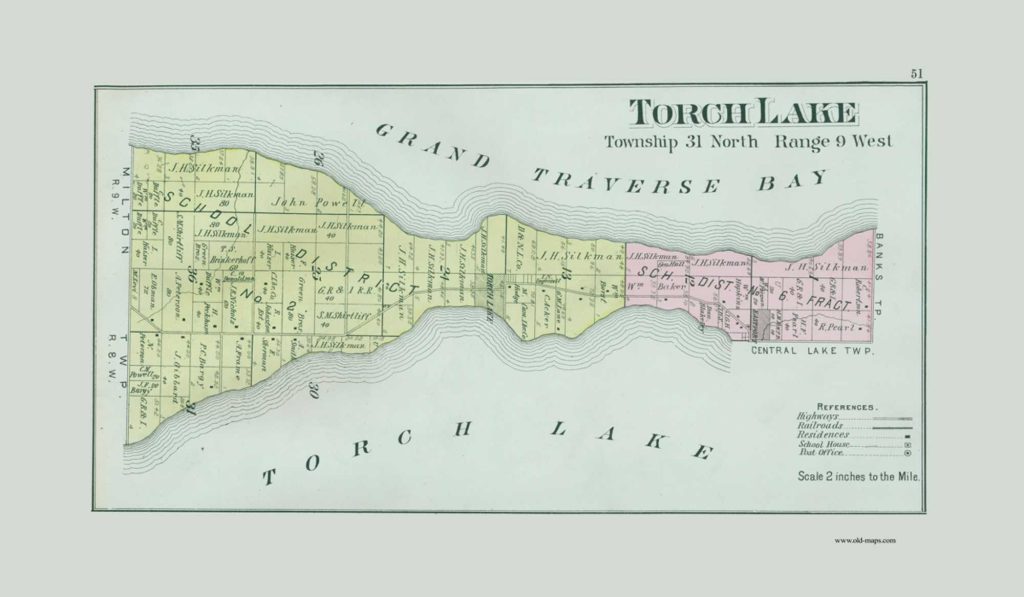
Torch Lake 1897 Township Map orig 10×17
11 x 17 $20 (text small)
14×24 $35
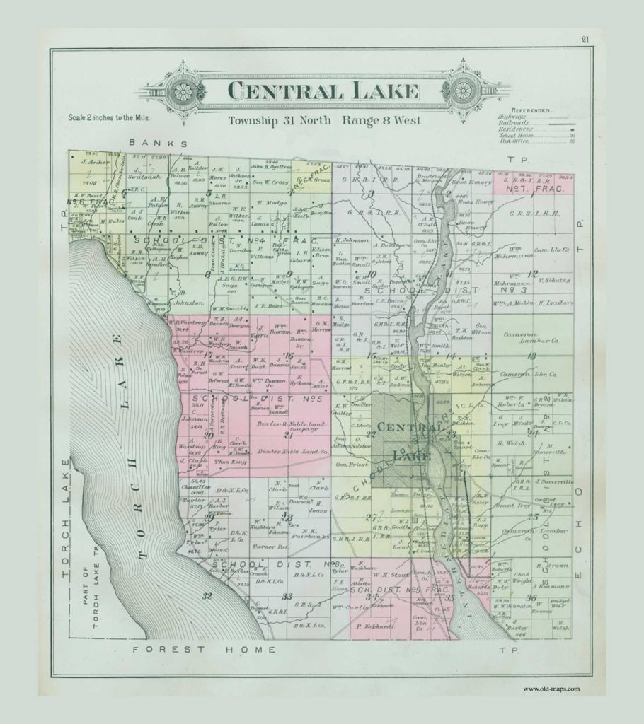
Central Lake 1897 Township Map orig 16×18
18 x20 $35
24×27 $53 tube
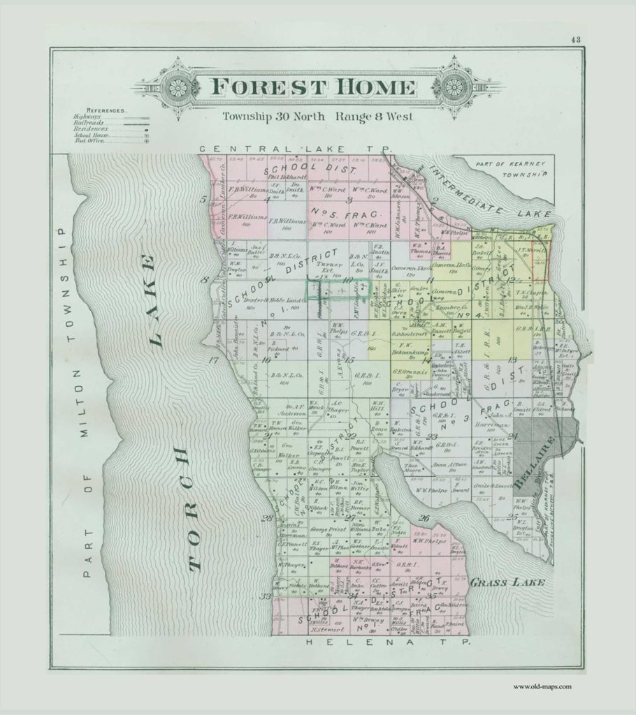
Forest Home 1897 Township Map orig 16×18
18 x20 $35
24×27 $53
Many more Antrim County Township maps with owners names


