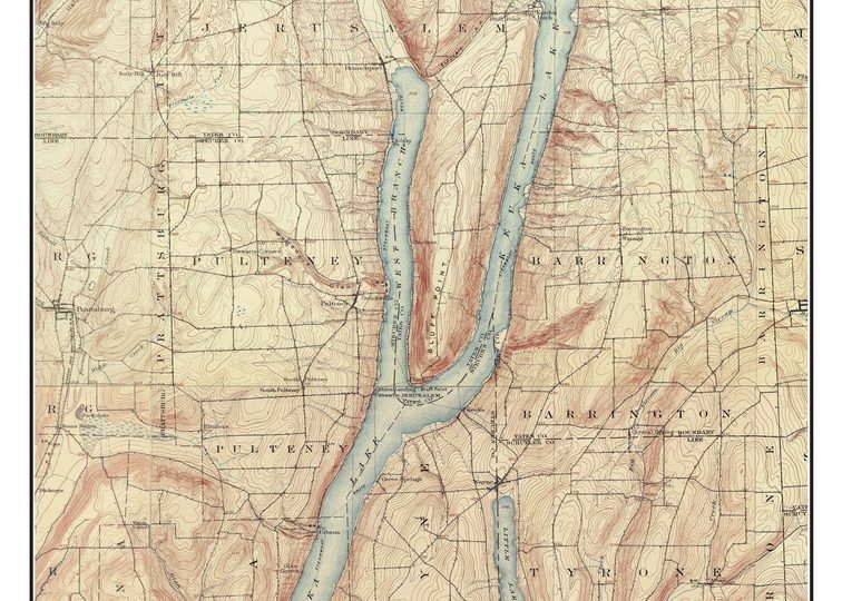
Finger Lakes Topographical Maps New York

Canandaigua Lake 1903 – Custom USGS Old Topo
Original Size: 18″x24″
Price: 11×14 (small) in sleeve $20
——– 18×24 in sleeve $35
——– 24×32 in tube $53

Keuka Lake 1903 – Custom USGS Old Topo Map
Original Size: 18″x24″
We at “Old Maps” have created these custom maps of the Finger Lakes by combining the different USGS Quadrangle maps together to make a single map with a simple border and a title. For example, the Canandaigua 1903 map was made from 4 different quads. We sell prints at different sizes.
We also have: Canandaigua 1943 – orig size 35 x 47 18×24 size is attractive but text is very small
” ” Canandaigua 1978 orig size 41 x 54 18×24 size is attractive but text is very small
” ” Keuka Lake 1953 – orig size 35 x 53 18×24 size is attractive but text is very small
” ” Keuka Lake 2016 – orig size 35 x 52 18×24 size is attractive but text is very small
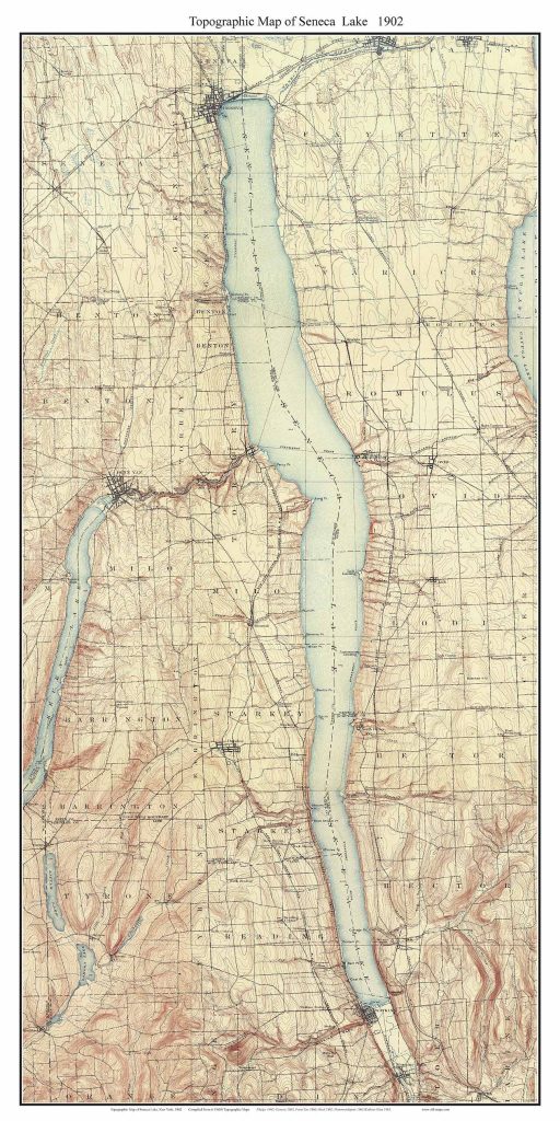
Seneca Lake 1902 – Custom USGS Old Topo Map
Original Size: 18″x36″

Cayuga Lake 1902 – Custom USGS Old Topo Map
Original Size: 18″x36″
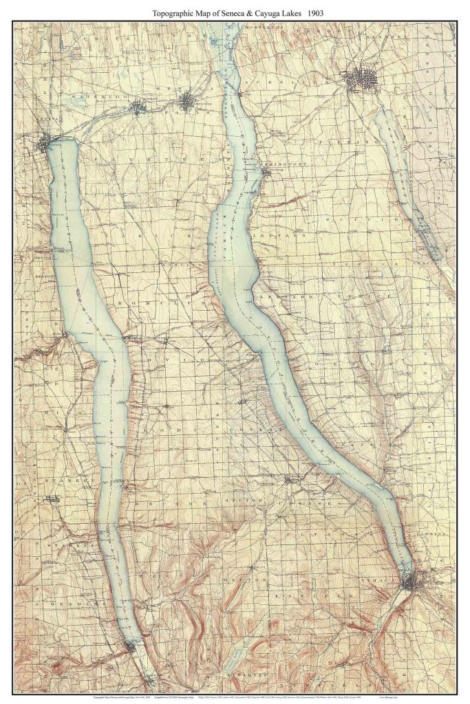
Seneca & Cayuga Lakes 1903 – Custom USGS Old Topo Map
Original Size: 24″x36″

Conesus, Hemlock, and Honeoye Lakes 1904 – Custom USGS Old Topo Map
Original Size: 16″x20″
11 x 14 prints $20 ($10)
16 x 20 prints $35 ($17.50)
ALSO See Conesus Lake 1942
and Conesus Lake 1964

Oneida Lake 1906 – Custom USGS Old Topo Map
Original Size: 14″x26″
Large Finger Lakes Maps (below),

Finger Lakes & Oneida Lake 1904 – Custom USGS Old Topo Map
Original Size: 80″x120″
Note the very large original size of this composite map. We made this using 50 separate USGS maps!. This is about 110 miles wide on the ground.
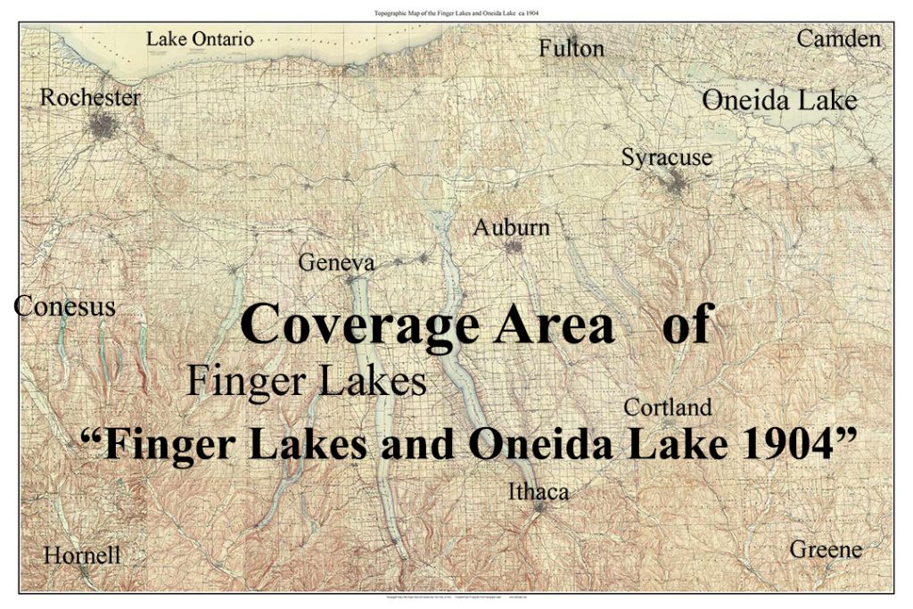
Our largest printer is 44″ wide, so it takes two sheets of paper to print this entire map. However the map can be ordered at smaller sizes.
44″ x 66″ —— all text legible, but very small ! — $155
24″ x 36″ —— text illegible, but the map is quite attractive —- $60
( other sizes available)
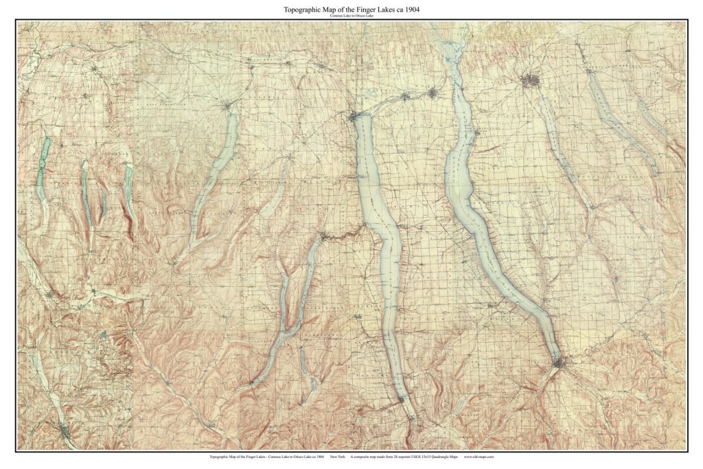
Finger Lakes – Conesus to Otisco 1904
original size 57″ x 85″
Our “Finger Lakes – Conesus to Otisco” 1904 composite omits Oneida Lake so it allows for a smaller print. This map was made from 28 separate quadrangle maps. These prints are available
44″ 66″ —— all text legible (slightly reduced from original) —–$155
24×36 —— text almost illegible but nice looking map —- $60
(Other sizes available)
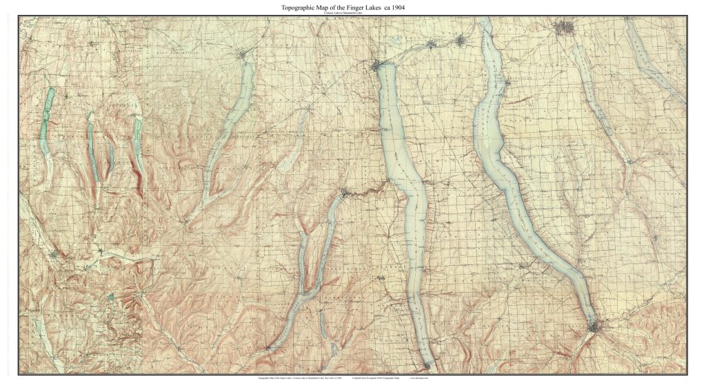
Finger Lakes – Conesus to Skaneateles 1904
original size 44″ x 81″
Our “Finger Lakes – Conesus to Skaneateles” 1904 composite omits Otisco Lake so it allows for a smaller print that fits our 44″ printer at full size. . This map was made from 28 separate quadrangle maps. These prints are available:
44″ x 81″ —— original size —– $185
24″ x 44″ —— text almost illegible but nice looking map —– $65
(Other sizes available)
============================================
Finger Lakes – Big Area – Small Scale Prints (below)

Map of Large Finger Lakes Canandaigua to Otisco 1958
13″ x 17″ original size
The 1958 & 1978 maps above here are much less detailed than the ca 1904 maps above, as they are made from a much smaller scale original (1:250,000), and are thus fully legible at small sizes.
print sizes available
11″x17″ ——- $20
18″ x 24″ —— $35
24″ x 32″ —— $53
(other sizes also)

Map of Large Finger Lakes Canandaigua to Otisco 1978
13″ x 17″ original size
The 1978 map has the New York State Thruway (at the very top)


