Mackinac Island & Vicinity Old Maps
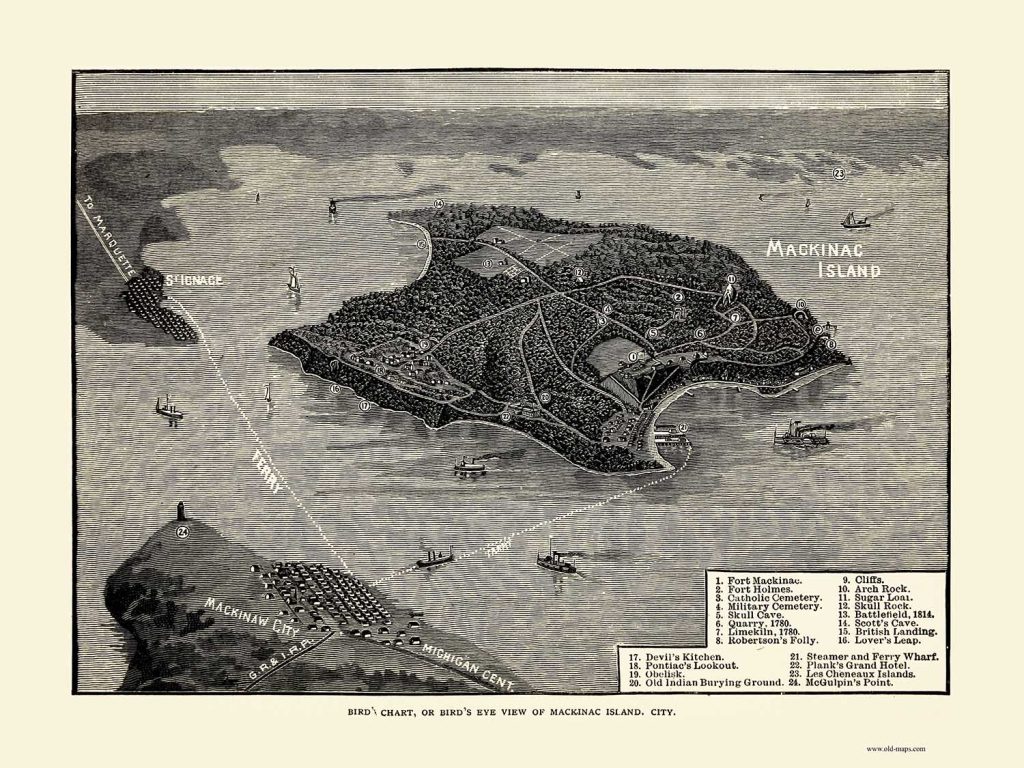
Birds Eye View of Mackinac Island 1877
11 x 14 $20
16×20 $35
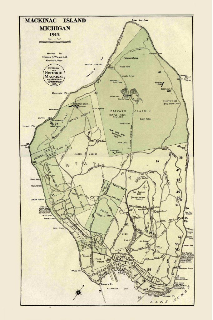
Mackinac Island 1915 orig size 10×15
11×17 $20
16×24 $35
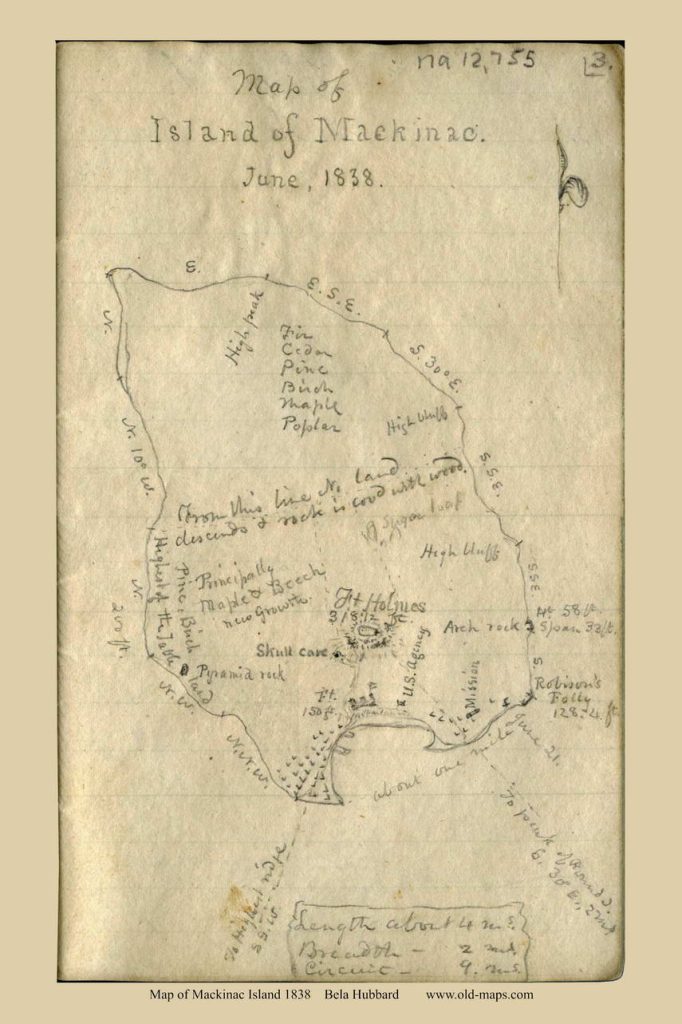
Mackinac Island 1838 – Hubbard MS
11X14 $20
16×24 $35
===========================================
Mackinaw City
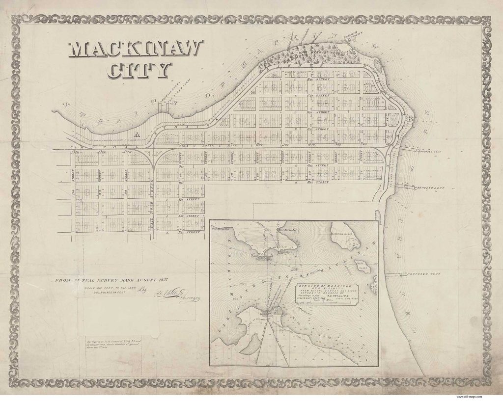
Mackinaw City 1857 – Development Map orig size 22 x 28
11 x 14 (text small ) $20
16×20 $35
24×30 $53
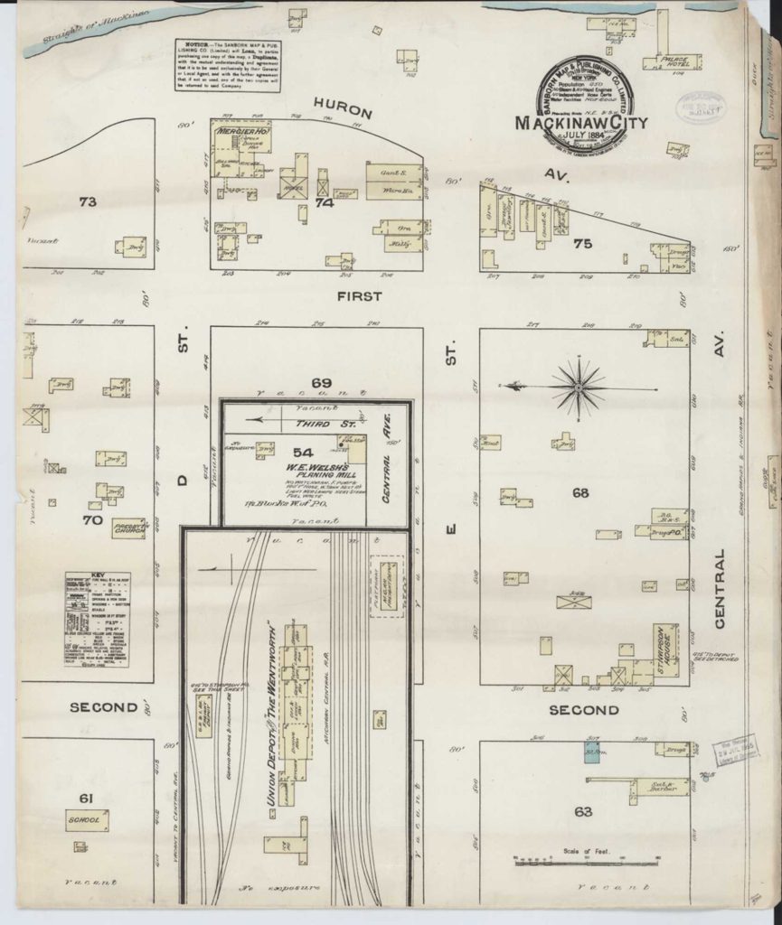
Mackinaw City 1894 Fire Insurance Map
11×14 (text very small)
16×20 $35
====================Nautical Charts =============
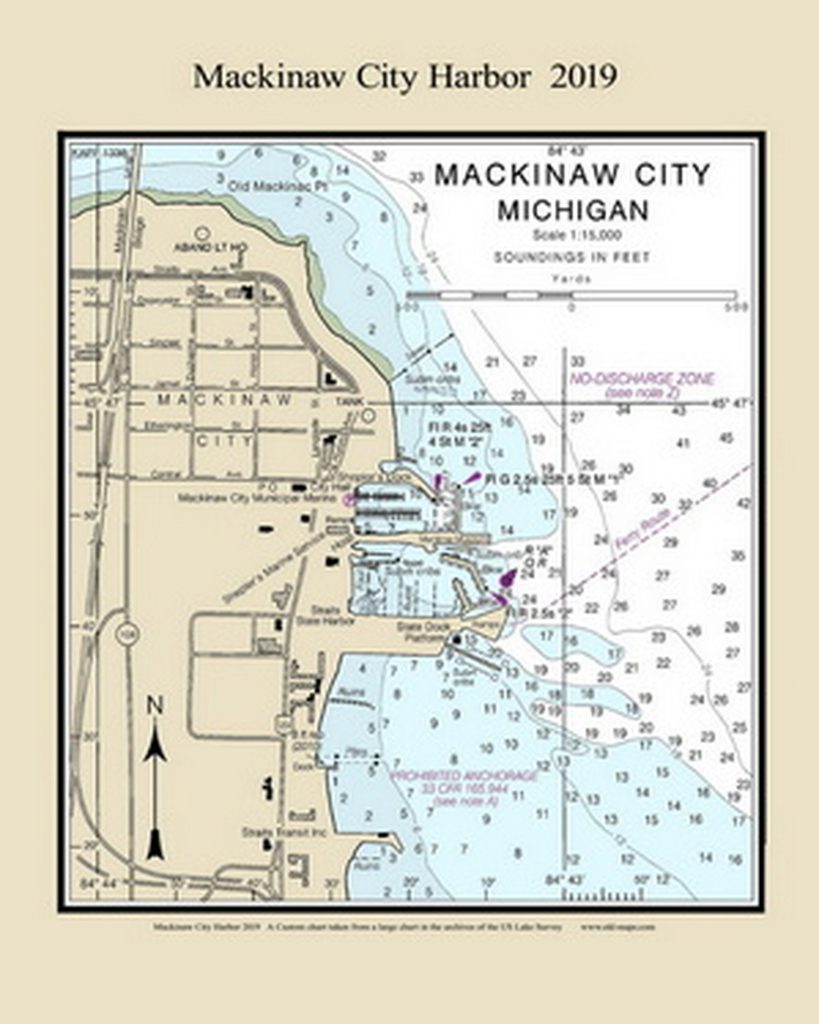
Mackinaw City Harbor Chart – small orig size 6×7
8 x 11 $12
11×14 $20
16×20 $35
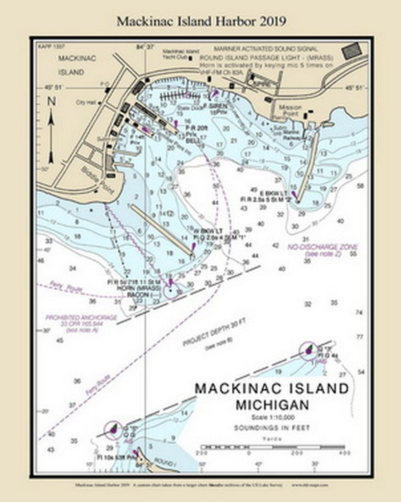
Mackinac Island Harbor Chart – small orig size 6×7
8 x 11 $12
11×14 $20
16×20 $35
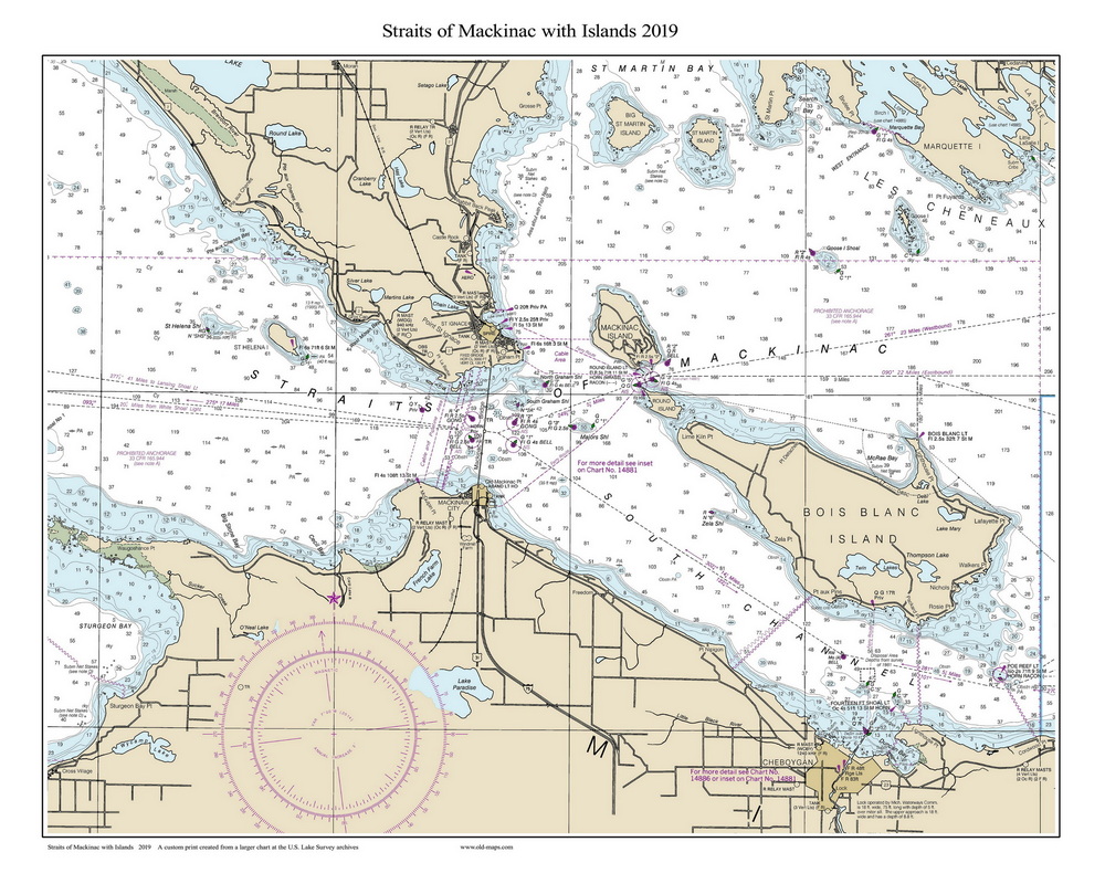
Straits of Mackinac with Islands CUSTOM orig size 6×7
11×14 $20 (text small)
16×20 $35
24×20 $53 (in tube)
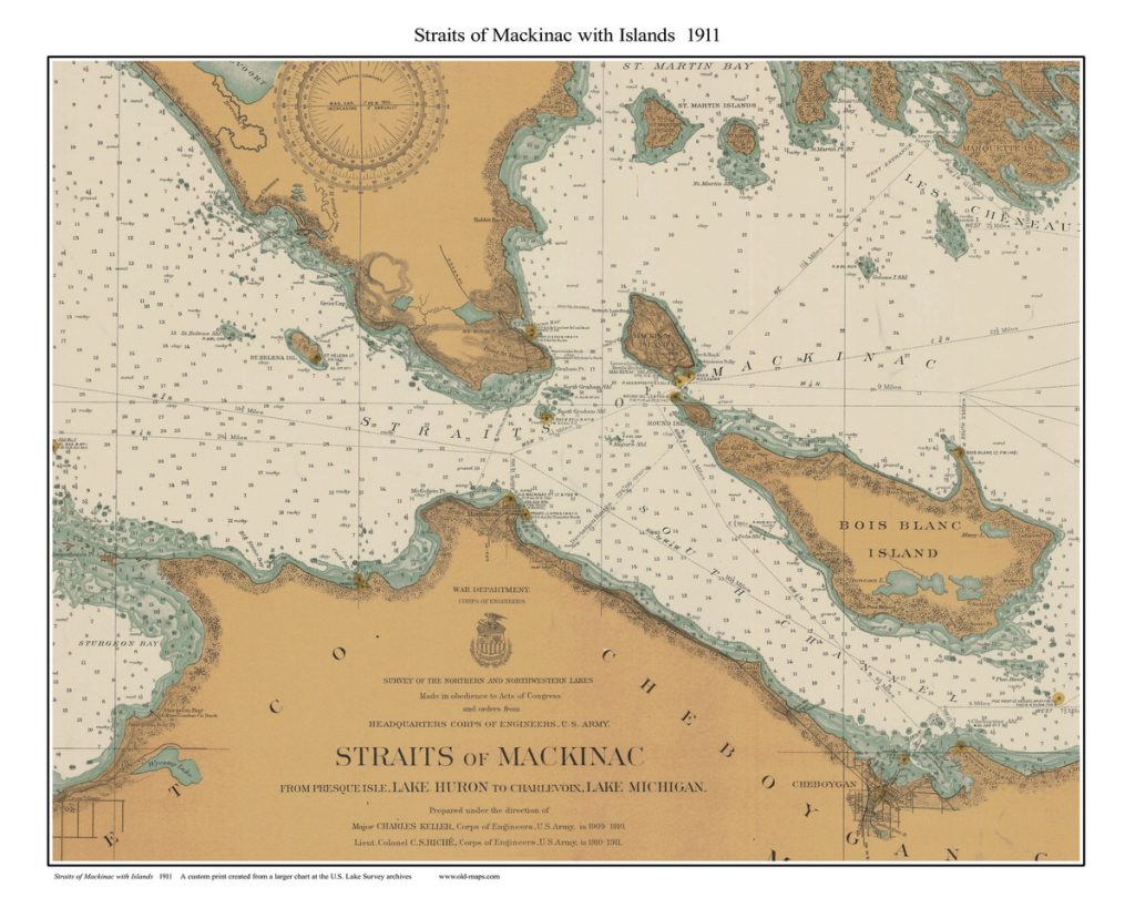
Straits of Mackinac with Islands CUSTOM orig size 6×7
11×14 $20 (text small)
16×20 $35
24×20 $53 (in tube)


