Grand Rapids, Michigan Maps (& Kent County)
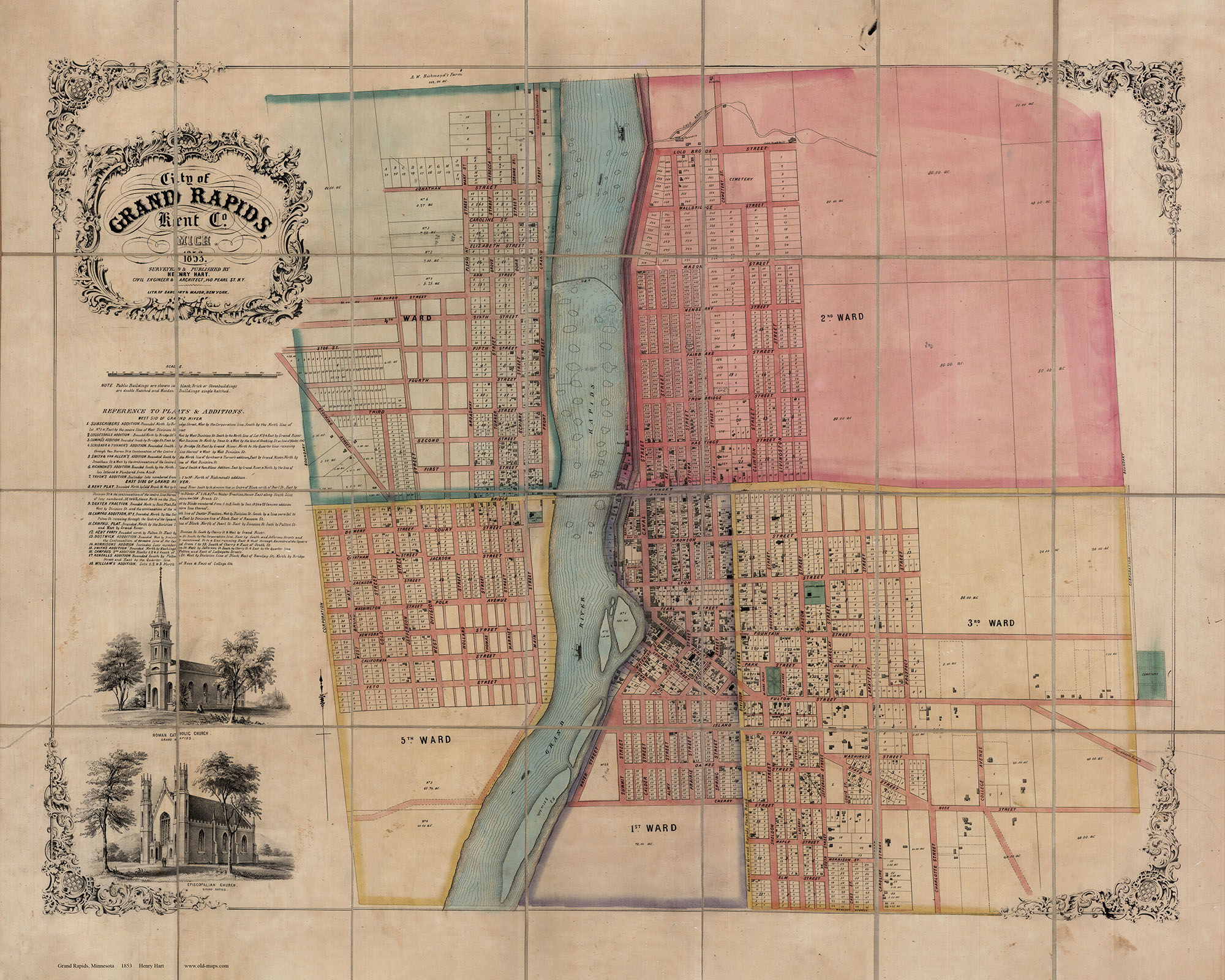
Grand Rapids 1853 orig size 17×22
11×14 $20 (lettering very small
16″x20″ Print – $35
24×30 Print $53 (rolled in tube
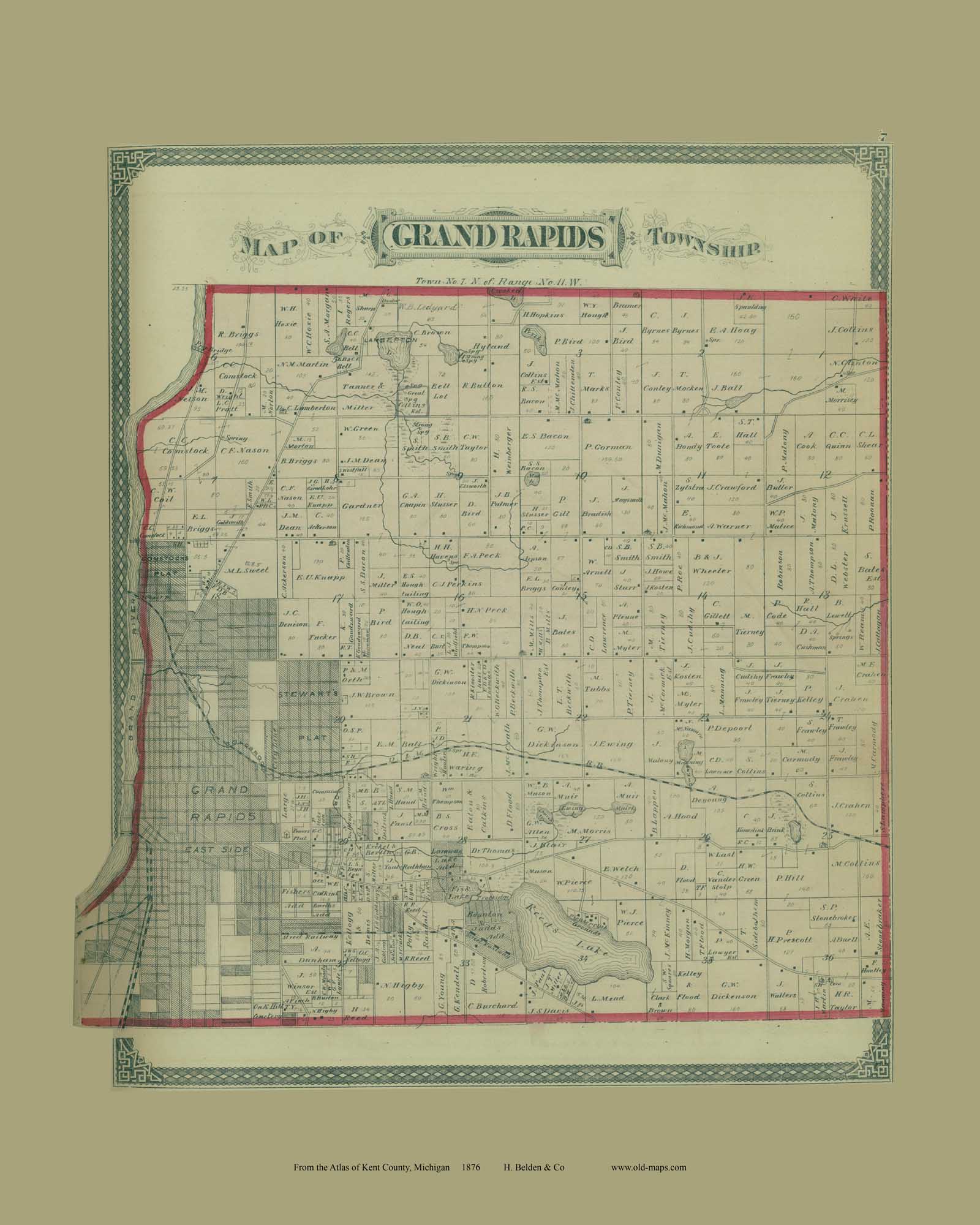
Grand Rapids Township 1876 Original Size – 16″x20″
11×14 Print $20 (Lettering very small)
16″x20″ Print – $35

Grand Rapids City 1873 City Original Size – 22″x29″
16″x20″ Print – $35
24×30 $53 rolled in tube

Grand Rapids, Michigan 1868 Bird’s Eye View
Original Size – 25″x37″
16″x24″ Print – $35
24×30 – $53 rolled in tube
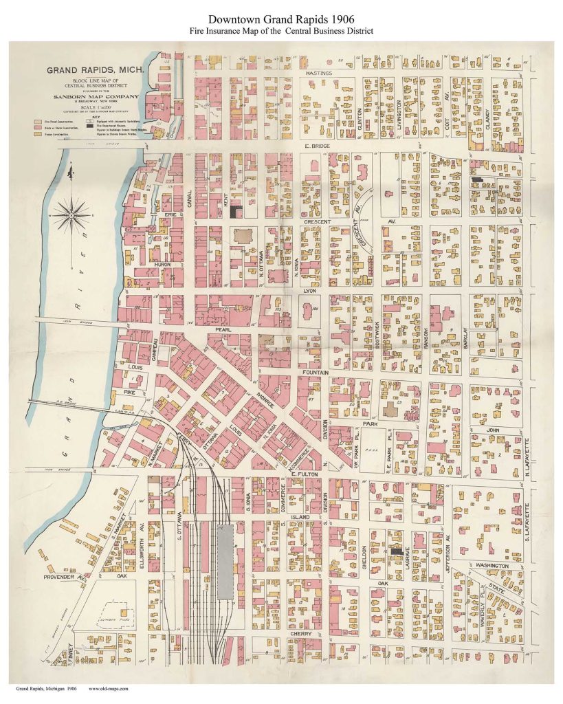
Grand Rapids Downtown 1906 – Fire Insurance Map orig size 22×28
16×20 $35
24×30 $53 (Rolled in tube)
Nearby Townships – township maps showing landowner names
(to see more Kent County maps and pictures click here)
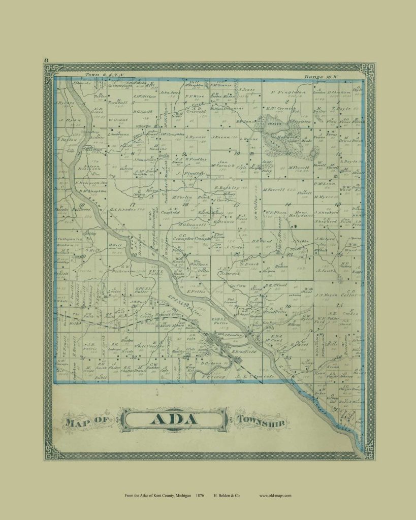
Ada Township 1876 orig size 16×20
11×14 $20 (lettering very small)
16×20 $35
24×30 $53 (Rolled in tube)
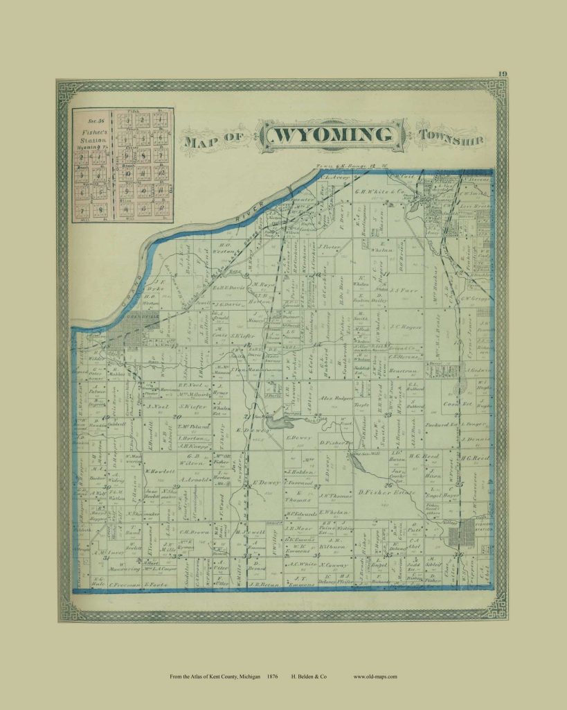
Wyoming Township 1876 orig size 16×20
11×14 $20 (lettering very small)
16×20 $35
24×30 $53 (Rolled in tube)
Maps of Lakes
we have many custom lake maps of Michigan- click here
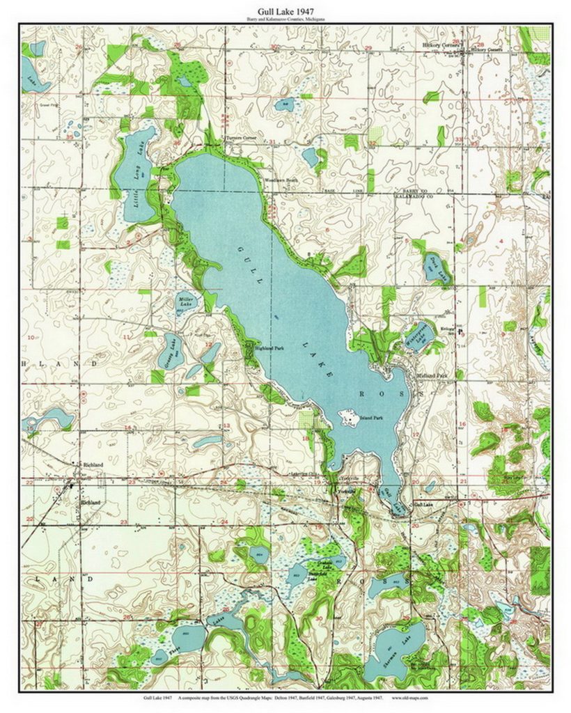
Gull Lake Topo Map 1947 orig size 16×20
11×14 $20 (lettering very small)
16×20 $35
24×30 $53 (Rolled in tube)
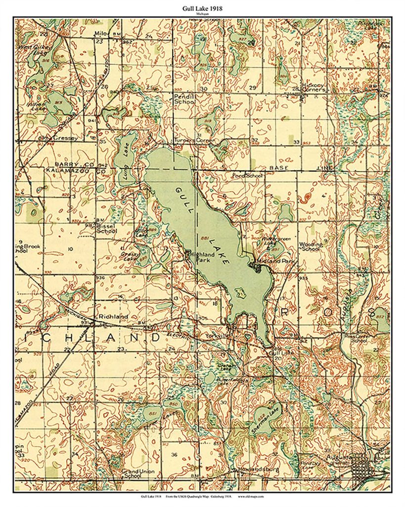
Gull Lake Topo Map 1918 orig size 8×10
11×14 $20
16×20 $35
24×30 $53 (Rolled in tube)
Nearby County Maps
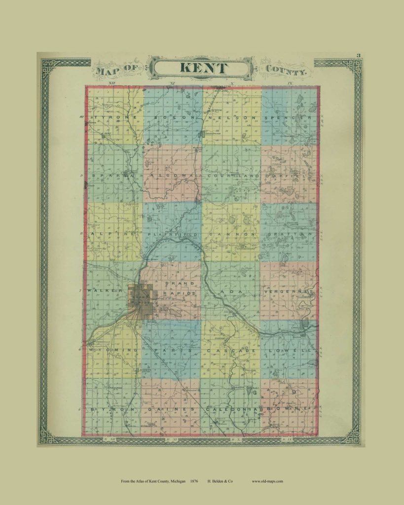
Kent County Map 1876 orig size 16×20
11×14 $20 (lettering very small)
16×20 $35
24×30 $53 (Rolled in tube)
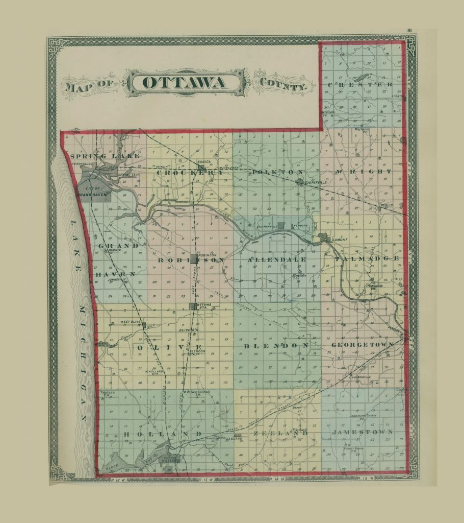
Ottawa County Map 1876 orig size 16×20
11×14 $20 (lettering very small)
16×20 $35
24×30 $53 (Rolled in tube)


