Windsor County VT Old Town Maps etc
Windsor – Ascutney Area (see below for Pomfret etc)
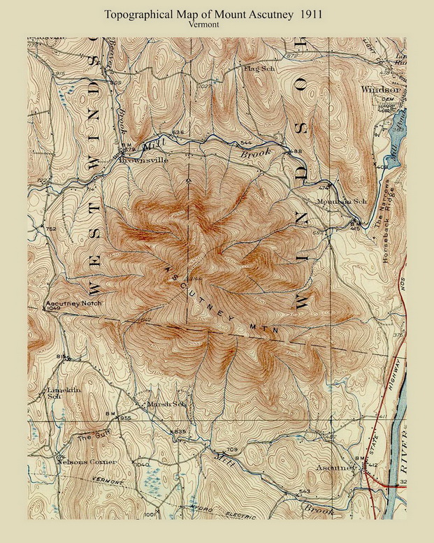
Mount Ascutney 1911 Custom USGS orig size 6″ x 7″
11″ x 14″ $20
16″ x 20″ $35
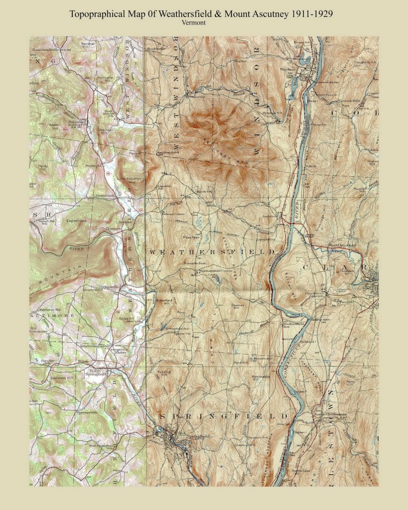
Topographical Map of Weathersfield & Mount Ascutney 1911 Custom USGS orig size 14″ x 17″
11″ x 14″ $20 (Lettering is small)
16″ x 20″ $35
24″ x 30″ $53 rolled in tube
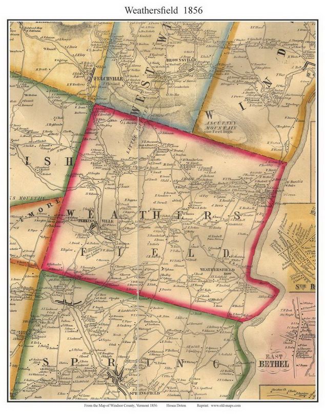
Weathersfield VT 1856 Town Map
11″ x 14″ $20
16″ x 20″ $35
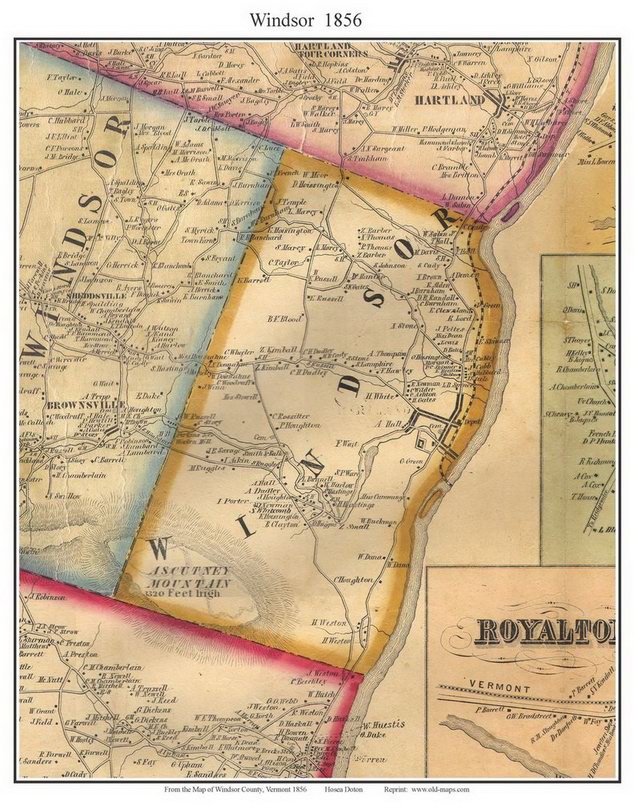
Windsor VT 1856 Town Map
11″ x 14″ $20
16″ x 20″ $35
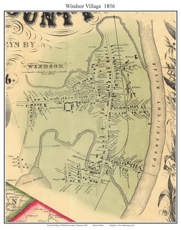
Windsor Village 1856 Town Map
11″ x 14″ $20
16″ x 20″ $35
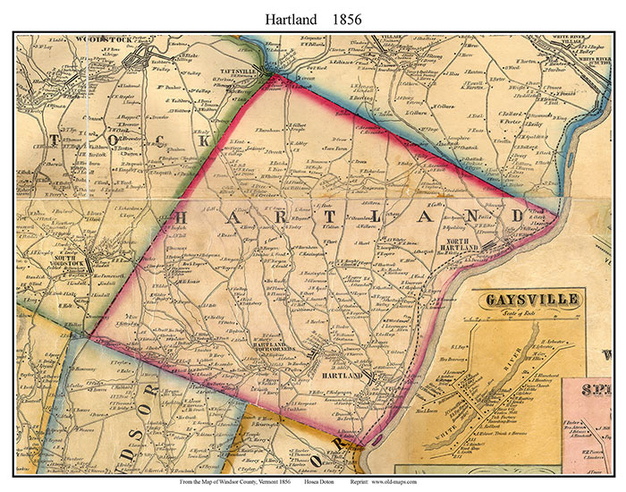
Hartland VT 1856 Town Map
11″ x 14″ $20
16″ x 20″ $35
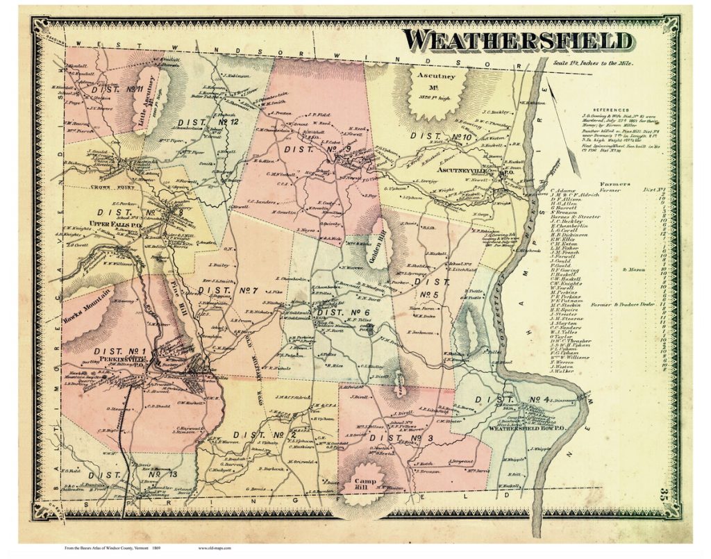
Weathersfield VT 1869 “Beers” Town Map orig size
11″ x 14″ $20
16″ x 20″ $35
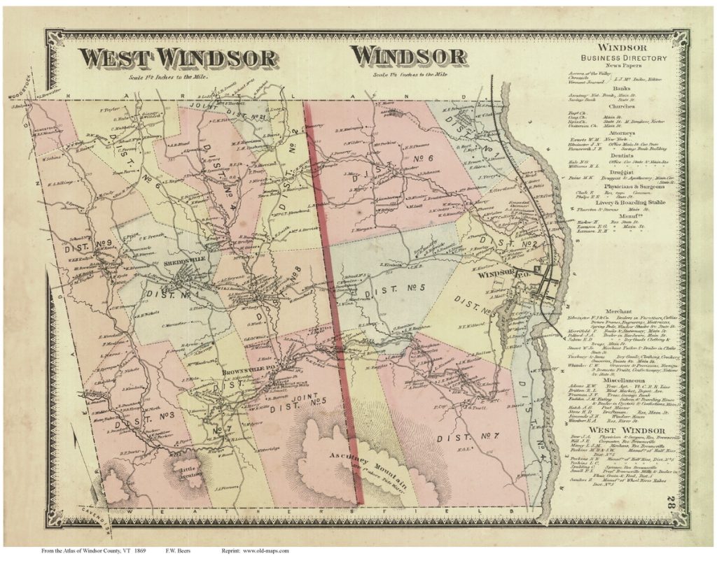
Windsor & West Windsor VT 1869 Town Map
11″ x 14″ $20
16″ x 20″ $35
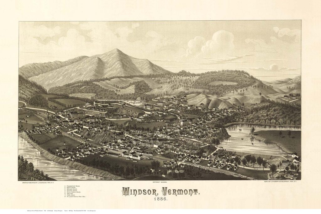
Birds Eye View of Windsor VT 1886 with Mt Ascutney orig size 16×24
11×17 $20 (Lettering small)
16×24 $35
24×30 $53 rolled in tube
Small County Maps
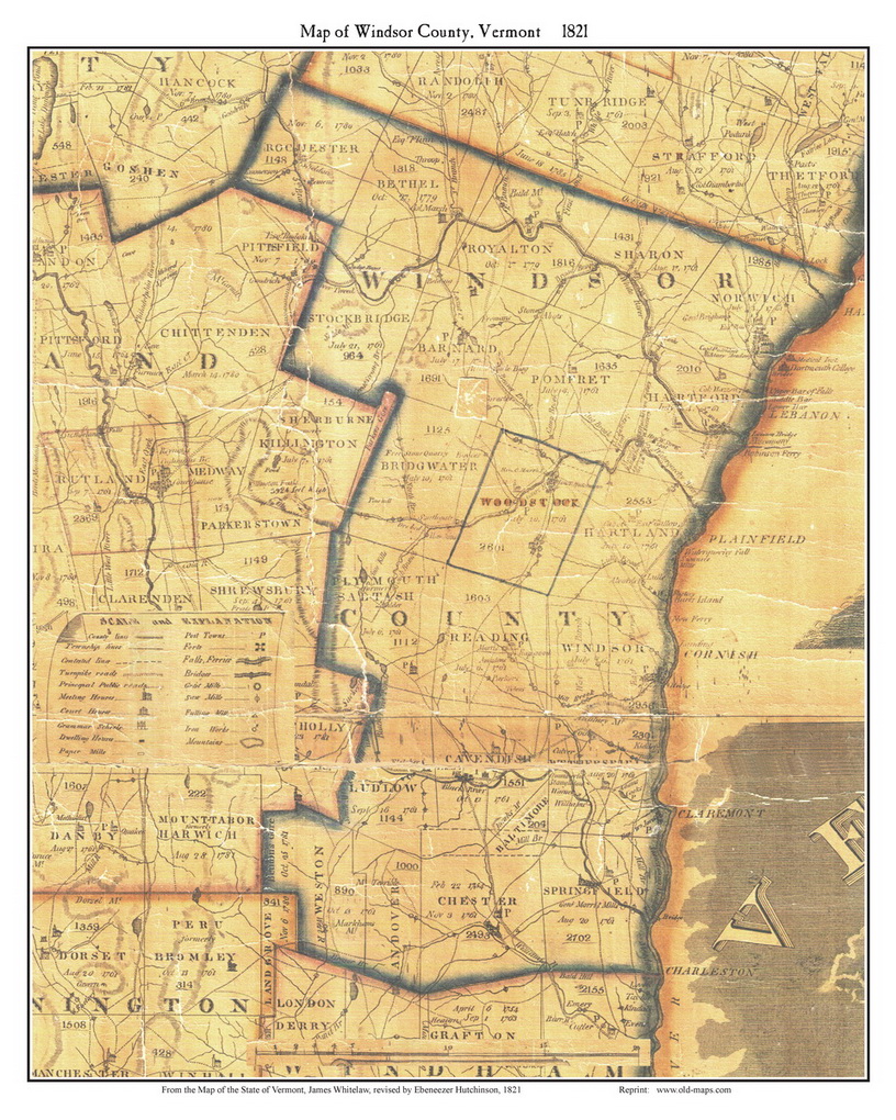
Windsor County 1821 Whitelaw orig size 16 x 20
11×14 $20 (lettering small)
16x 20 $35
Pomfret Area
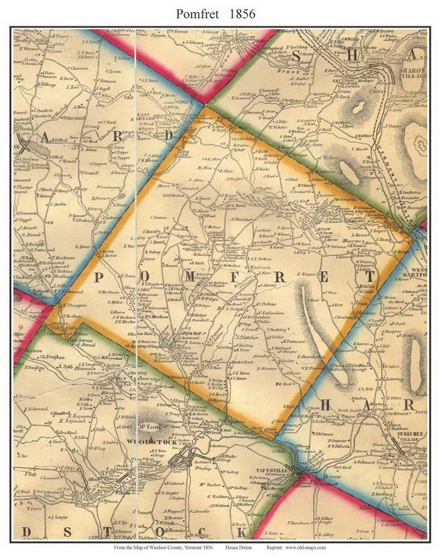
Pomfret 1856 Town Map
11×14 $20
16x 20 $35
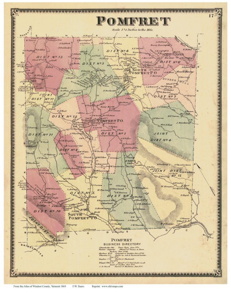
Pomfret 1869 Town Map
11×14 $20
16x 20 $35


