Rutland -Ludlow Vermont Area Old Maps
see also Lakes and Vermont State Maps
Ski Slope Air Photos
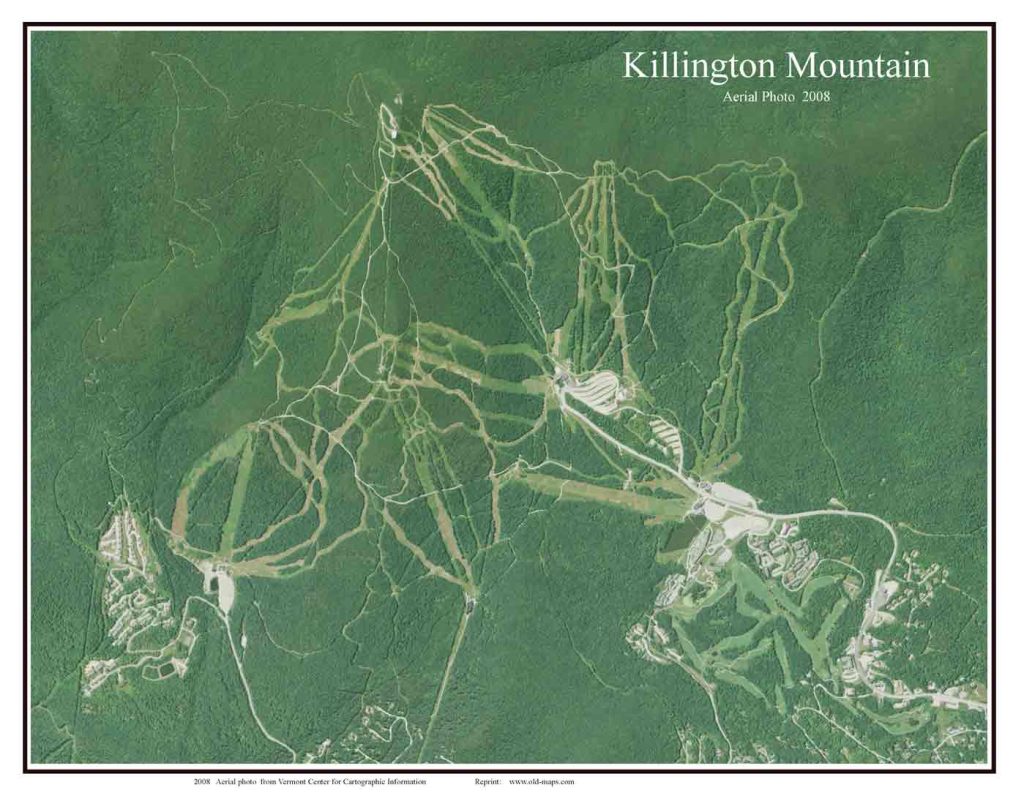
Aerial Map of Killington Mountain 2008 Orig. size: 11″x14″
11×14 $20
16×20 $35
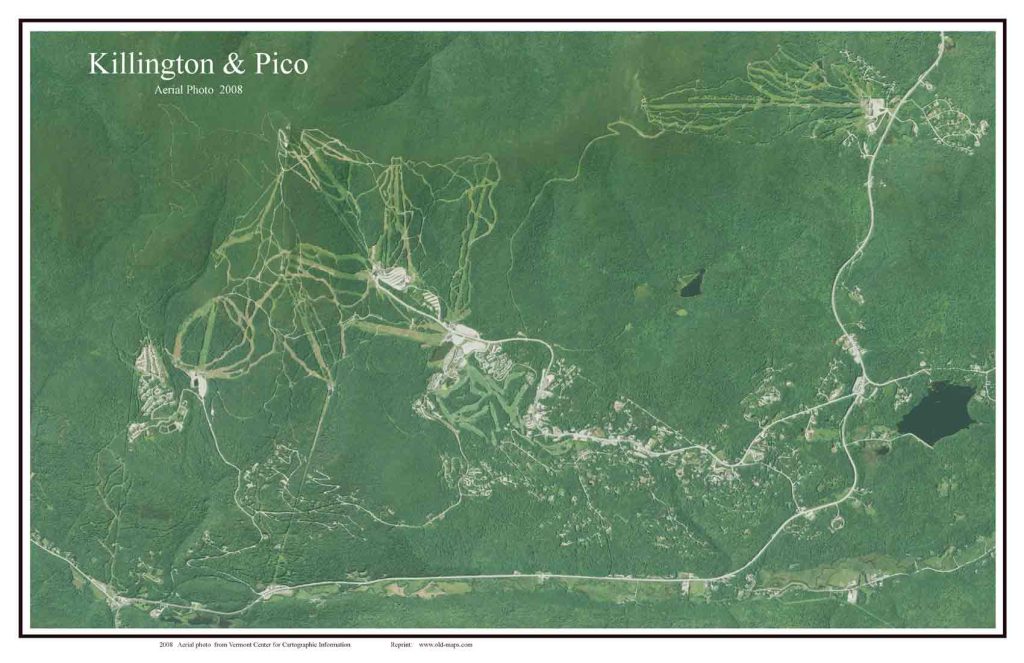
Aerial Map of Killington & Pico 2008 Orig. size: 11″x17″
11×17 $20
16×24 $35
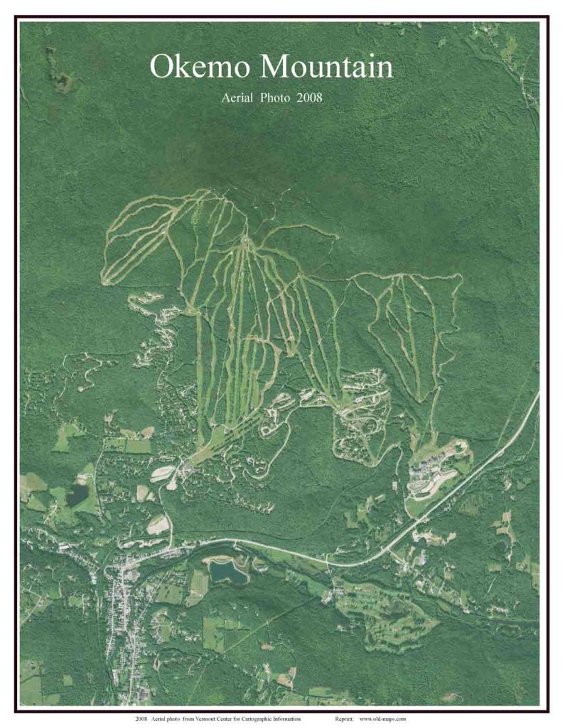
Aerial Map of Okemo Mountain 2008 Orig. size: 11″x14″
11×14 $20
16×20 $35
19th Century Maps
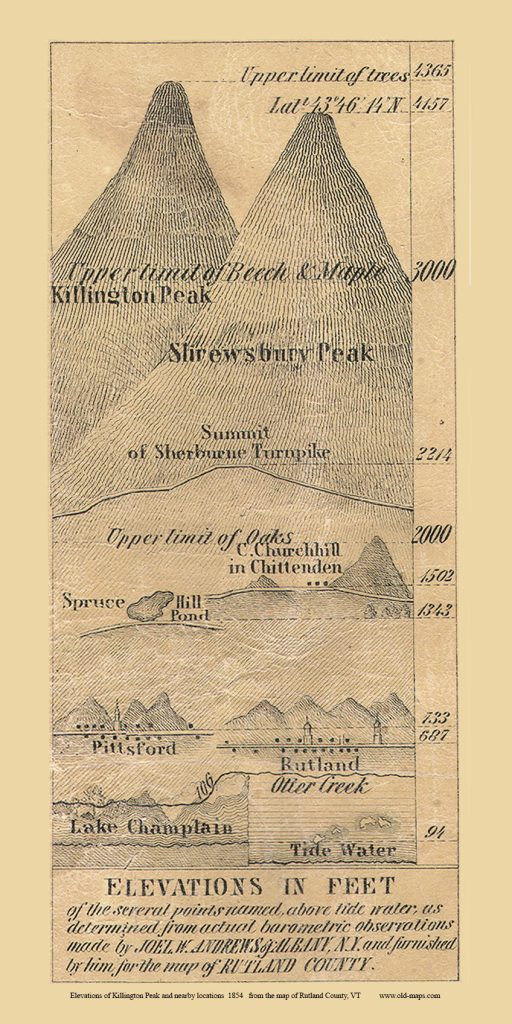
Elevations of Killington Peak & etc 1854 (from the 1854 Rutland Co wall map) Orig size: 3″x 6″
9×17 $20
12×24 $35
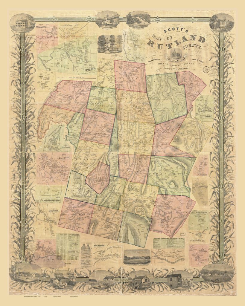
Rutland County 1854 Wall Map orig size: 50″x63″
16×20 $35 lettering illegible
24×30 $53 lettering very small rolled in tube
36×45 $
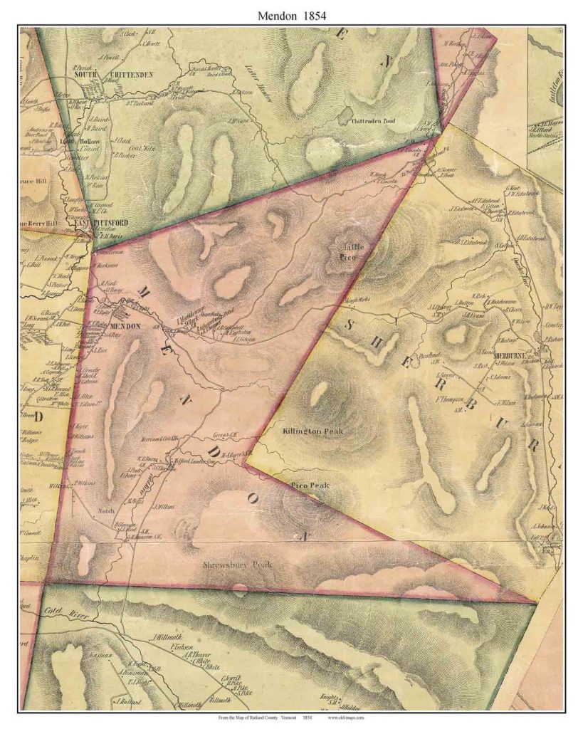
Mendon Town 1858 (Killington Peak) Orig. size: 11″x14″
11×14 $20
16×20 $35
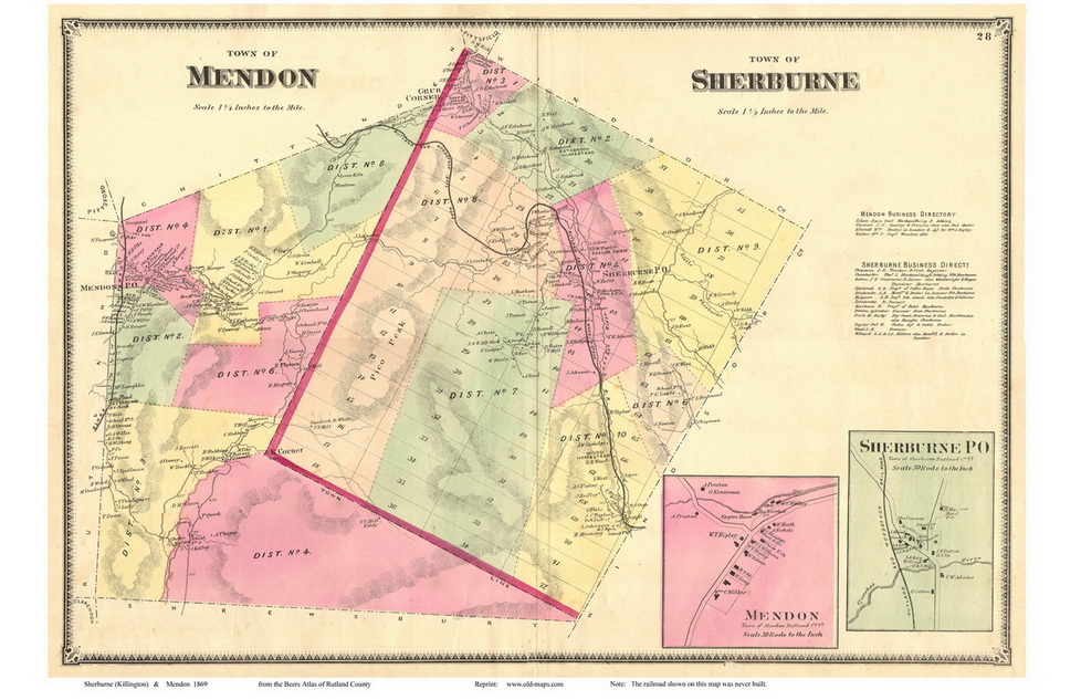
Mendon & Sherburne 1869 Map Orig. size: 16″x24″
11×17 $20
16×24 $35
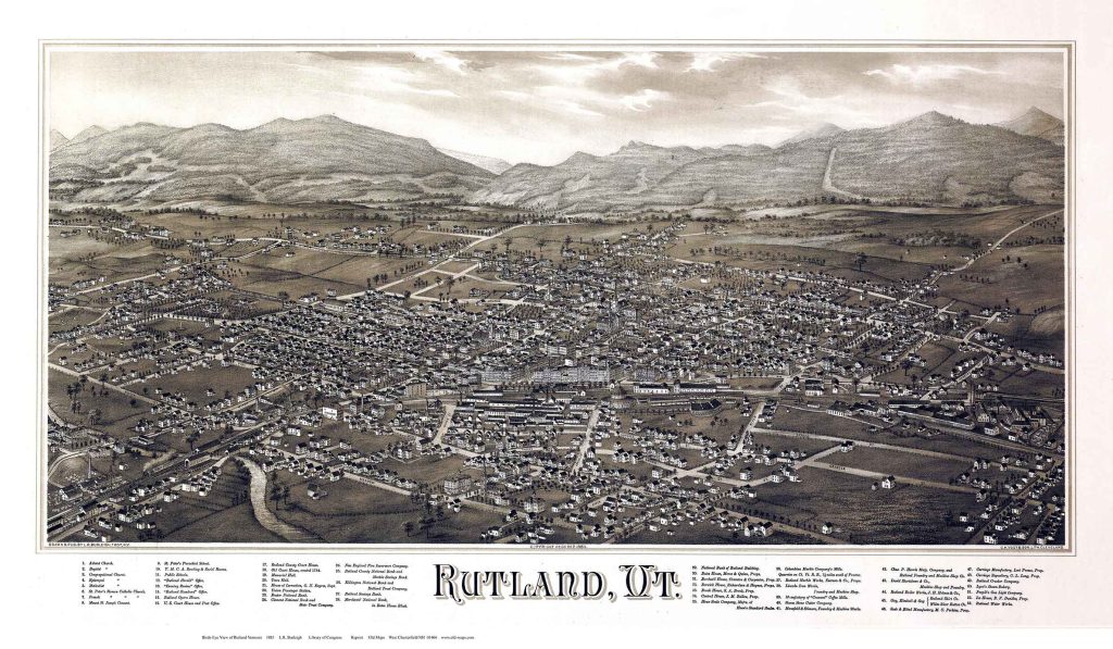
Birds Eye View of Rutland Vermont Orig. size: 19″x33″
11×17 $20
14×24 $35
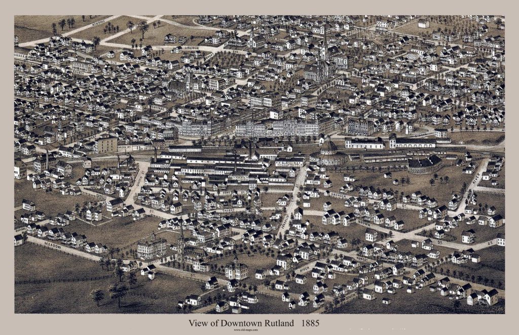
Birds Eye Views Downtown Rutland 1885 Custom Orig. size: 9″x14″
11×17 $20
16×24 $35
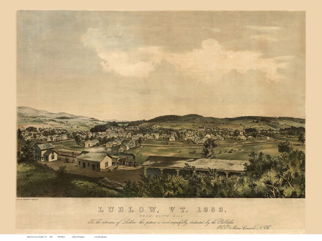
Ludlow 1859 Birds Eye View Orig. size: 16″x24″
11×17 $20
16×24 $35
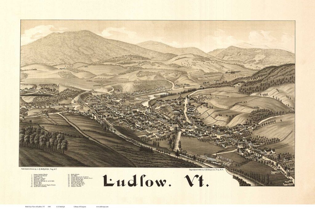
Ludlow 1885 Birds Eye View Orig. size: 16″x24″
11×17 $20
16×24 $35
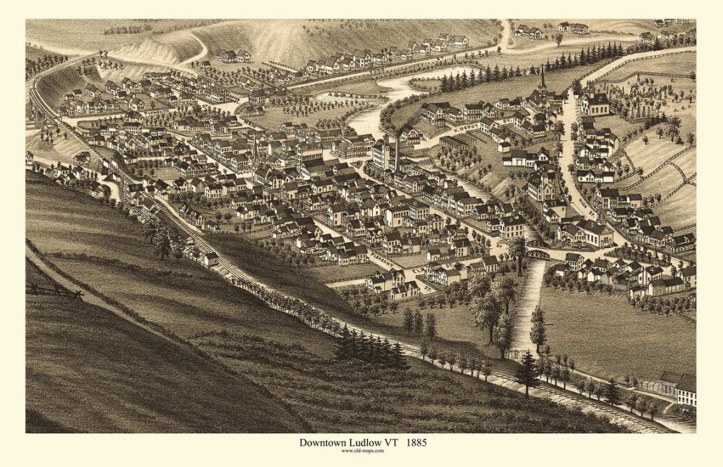
Ludlow 1885 Birds Eye View CLOSE Orig. size: 7″x11″
11×17 $20
16×24 $35
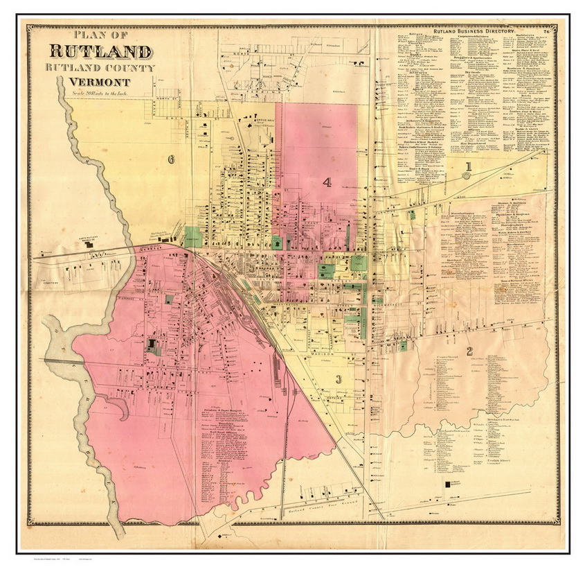
Downtown Rutland 1869 Orig. size: 28″x29″
18×18 $20
24×24 $35
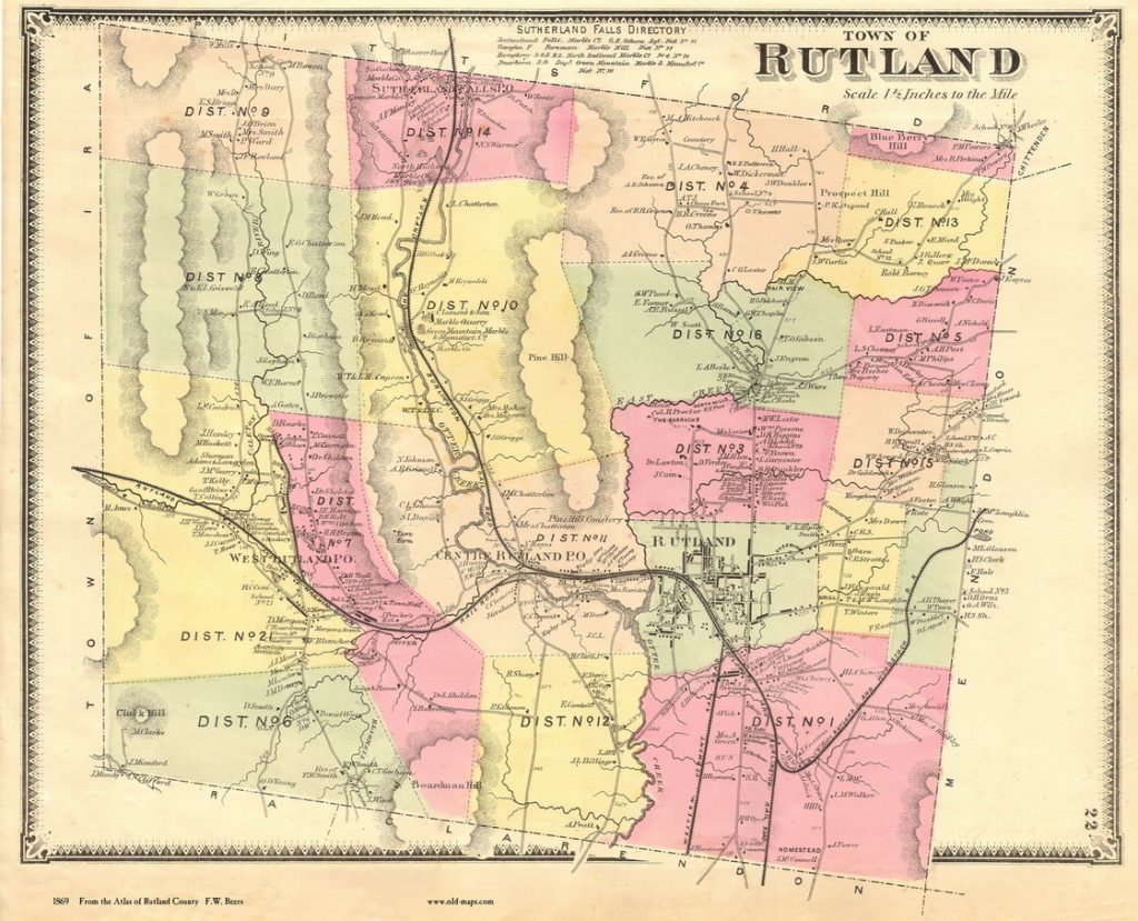
Rutland Town 1869 Orig. size: 12″x16″
11×14 $20
16×20 $35
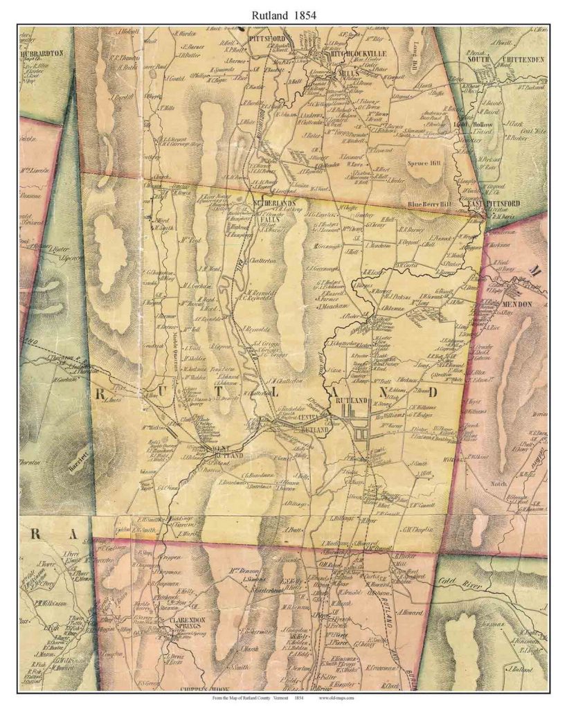
Rutland Town 1854 Orig. size: 11″x14″
11×14 $20
16×20 $35
Beyond Rutland
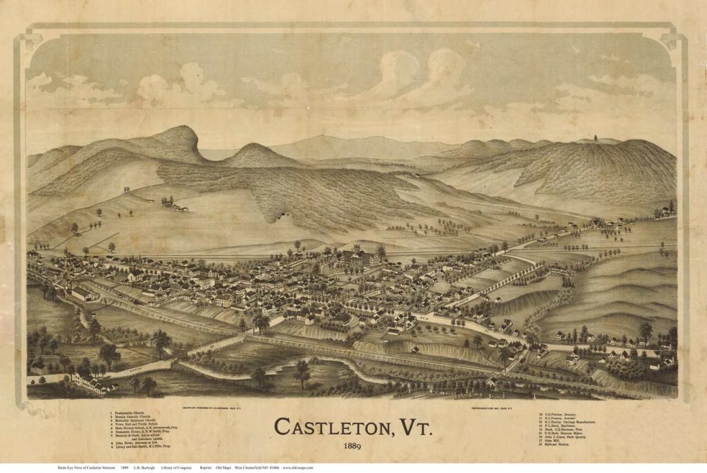
Castleton 1885 Birds Eye View Orig. size: 12″x27″
11×17 $20
16×24 $35
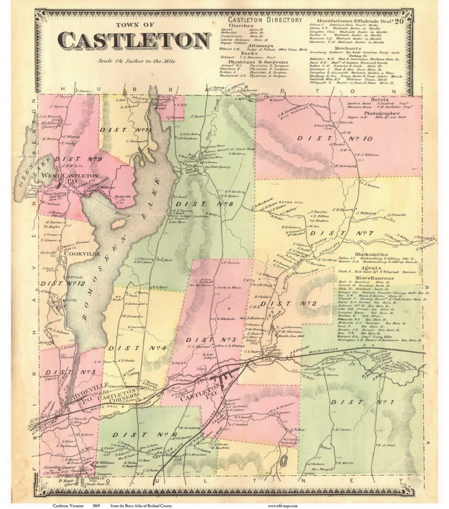
Castleton 1869 View Orig. size: 12″x16″
11×14 $20
16×20 $35
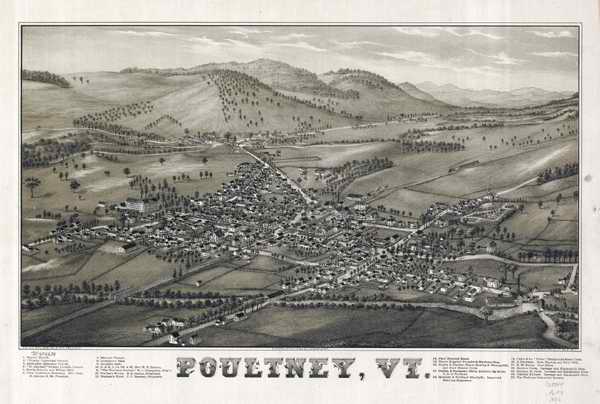
Poultney1886 Birds Eye View Orig. size: 15″x22″
11×17 $20
16×24 $35
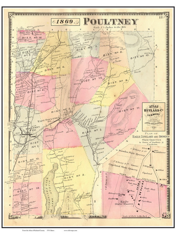
Poultney 1869 View Orig. size: 12″x16″
11×14 $20
16×20 $35
/
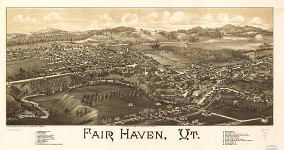
Fair Haven 1886 Birds Eye View Orig. size: 15″x26″
11×17 $20
14×24 $35
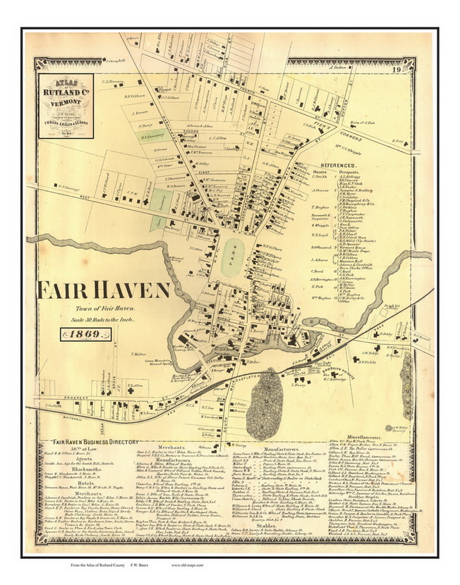
Fair Haven 1869 View Orig. size: 12″x16″
11×14 $20
16×20 $35


